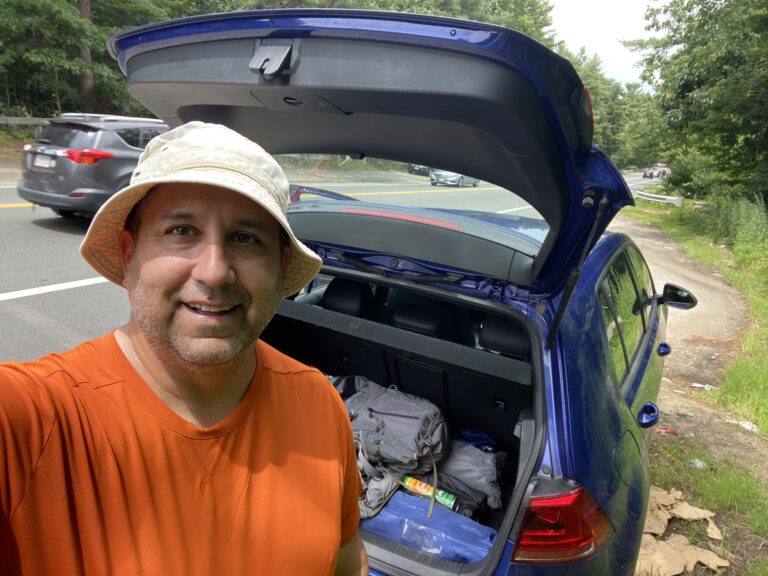
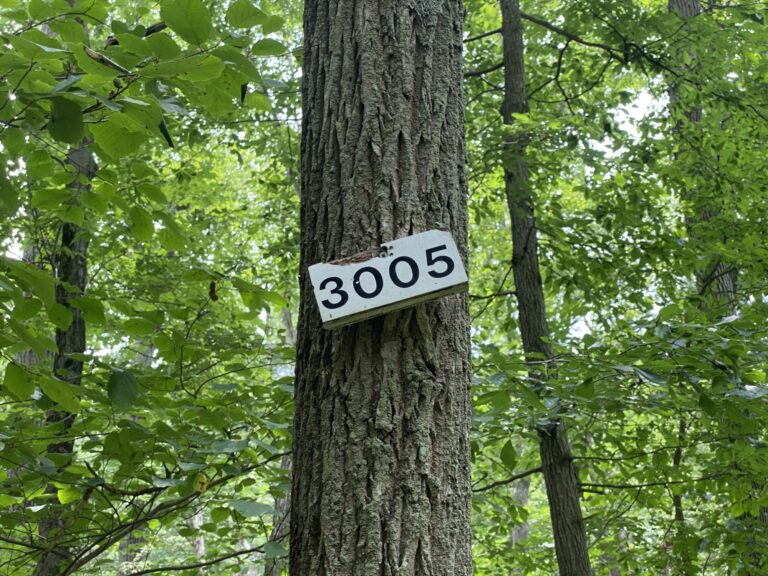
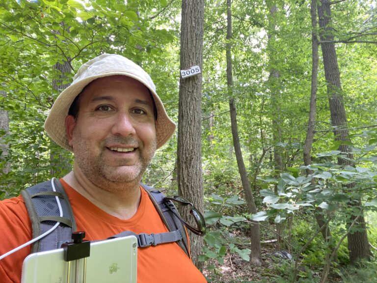
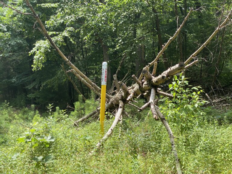
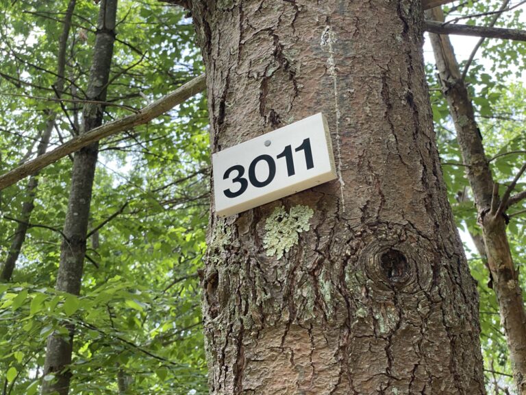
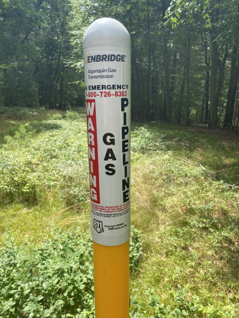
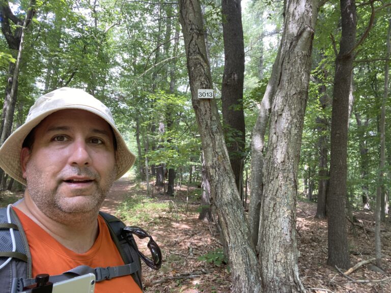
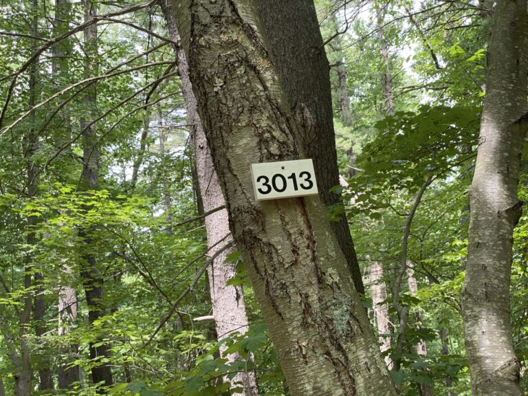
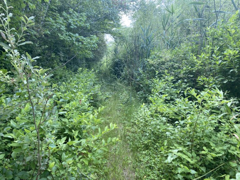
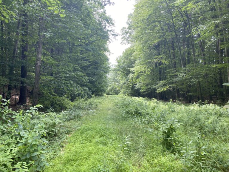
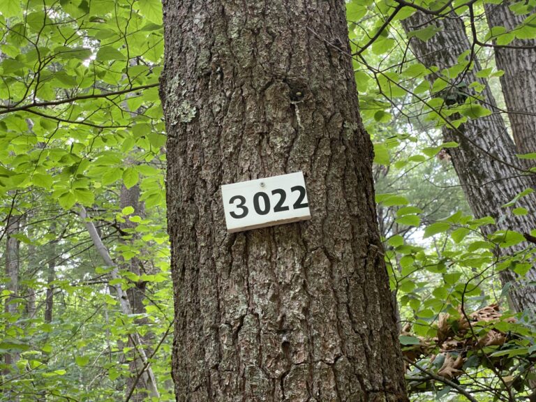
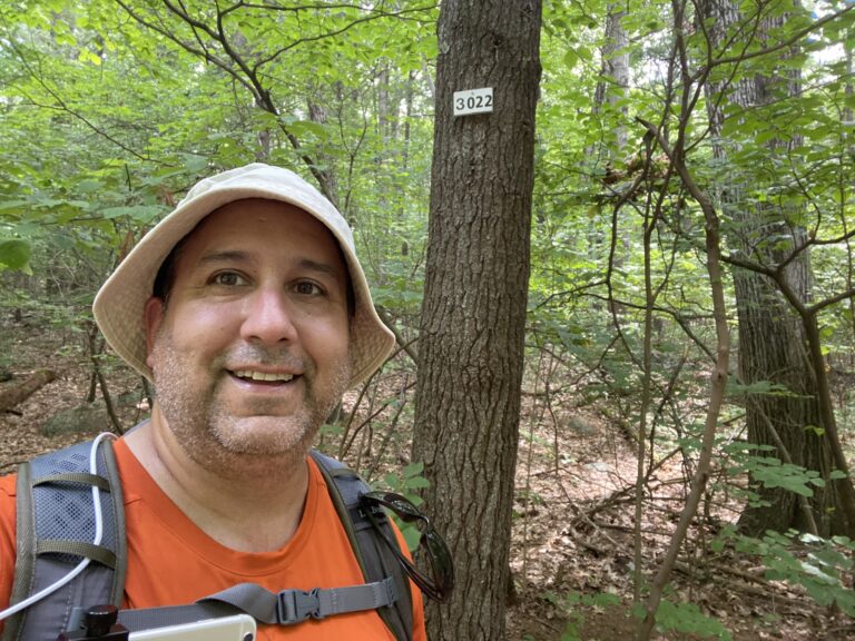
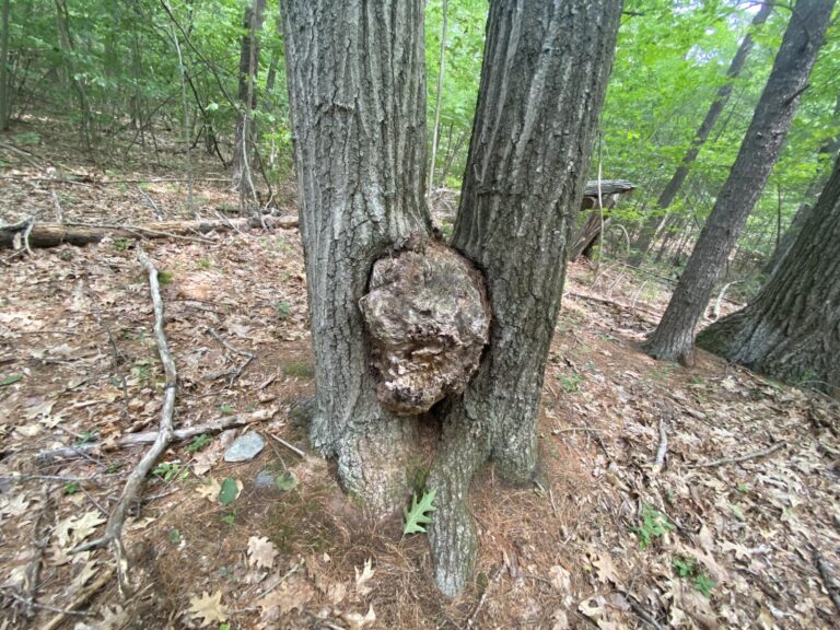
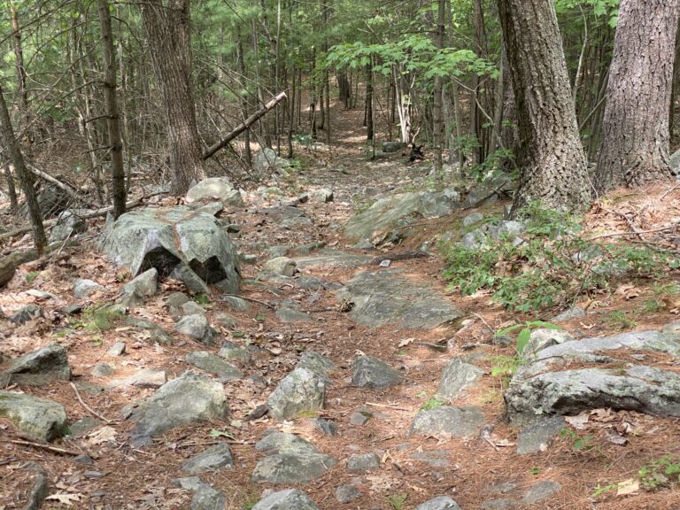
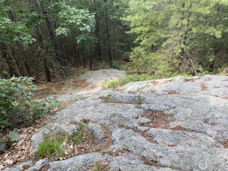
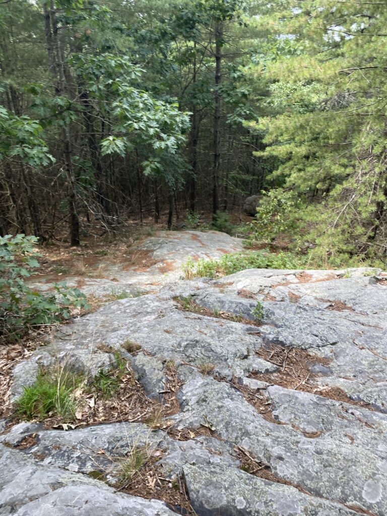
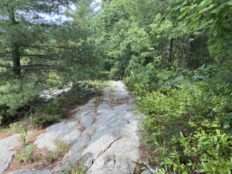
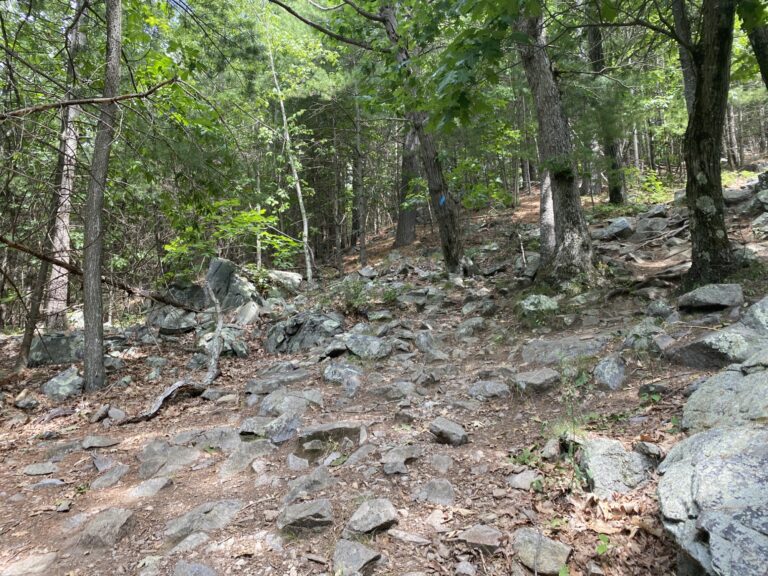
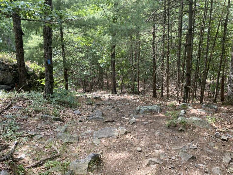
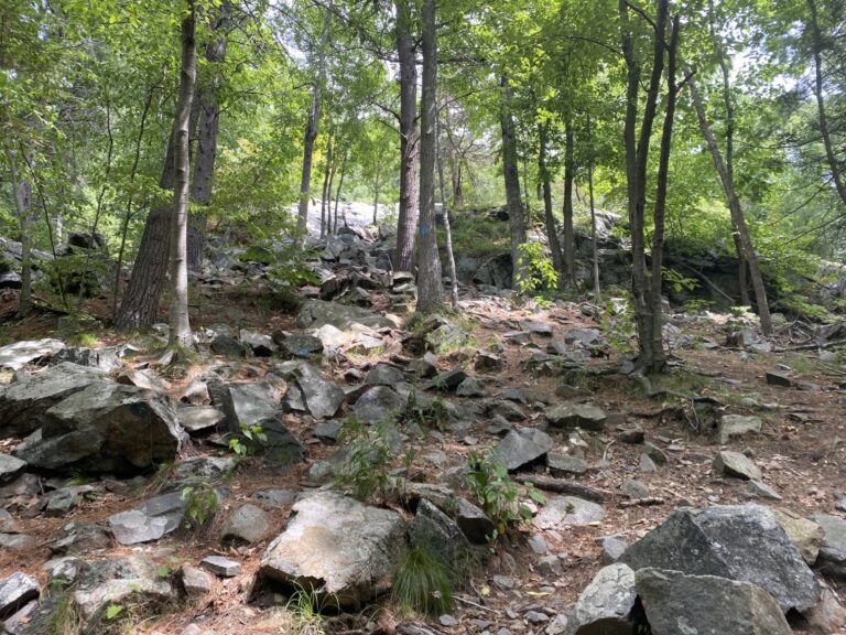
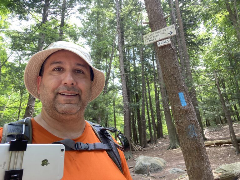
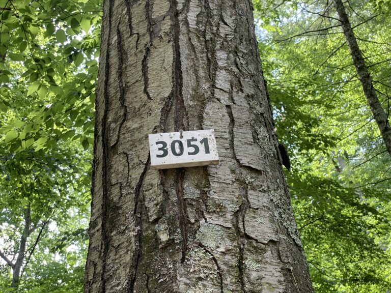
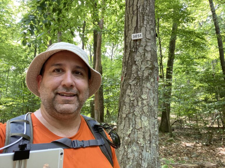
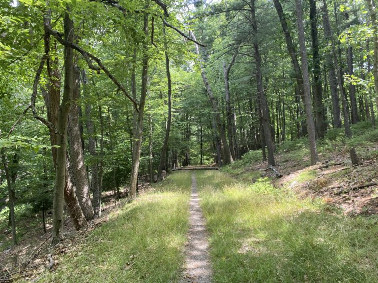
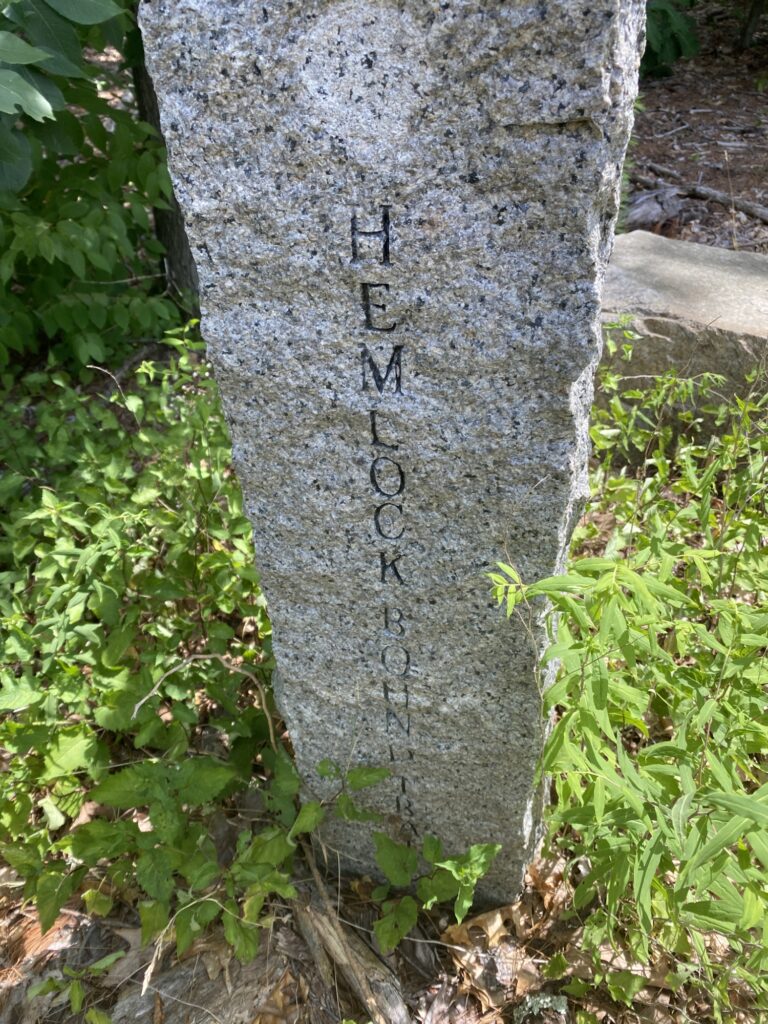
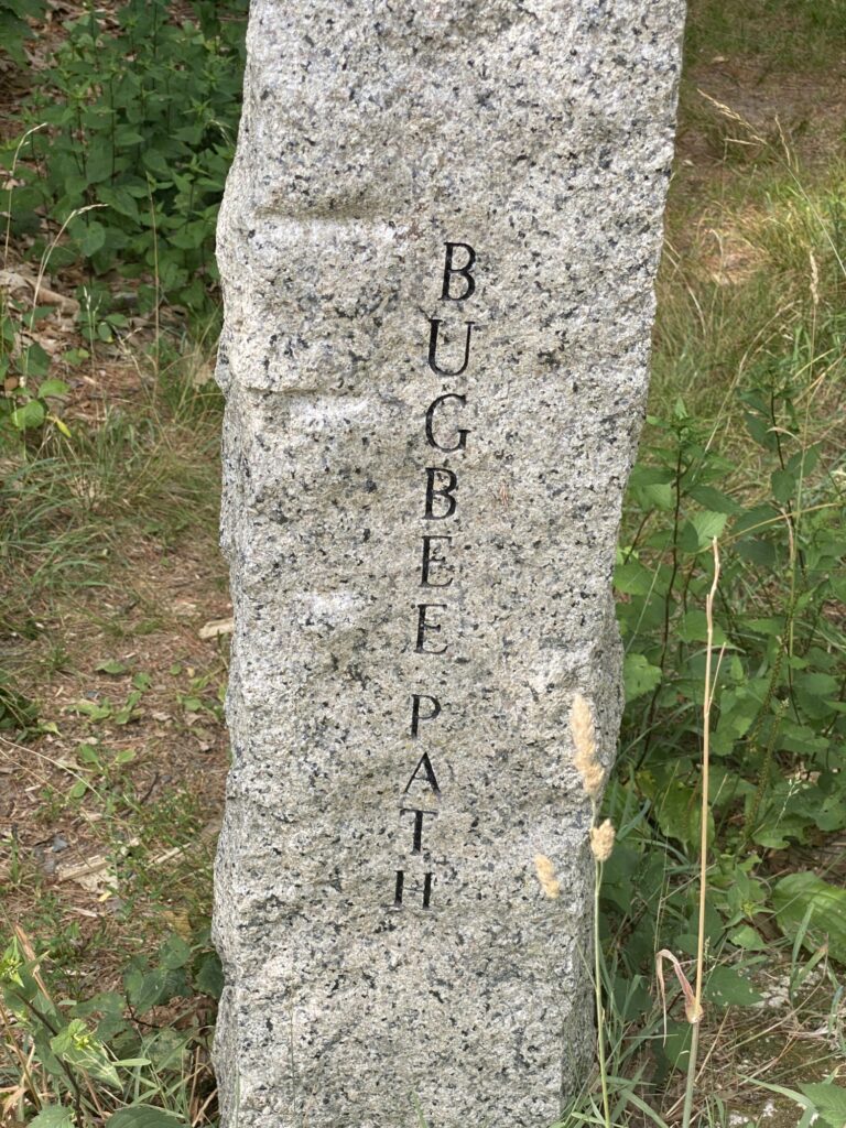
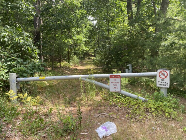
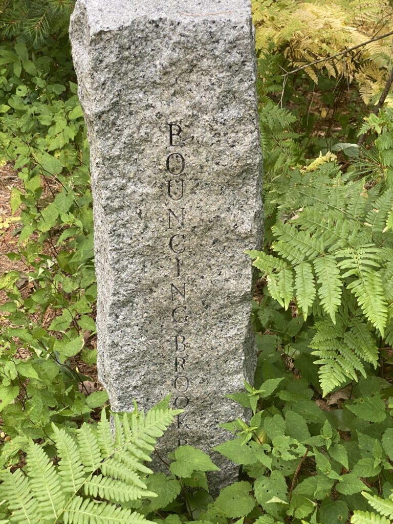
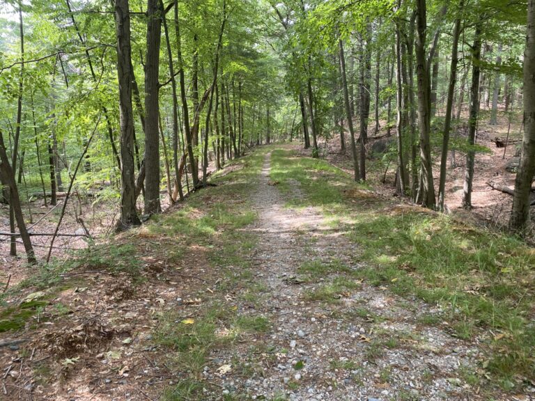
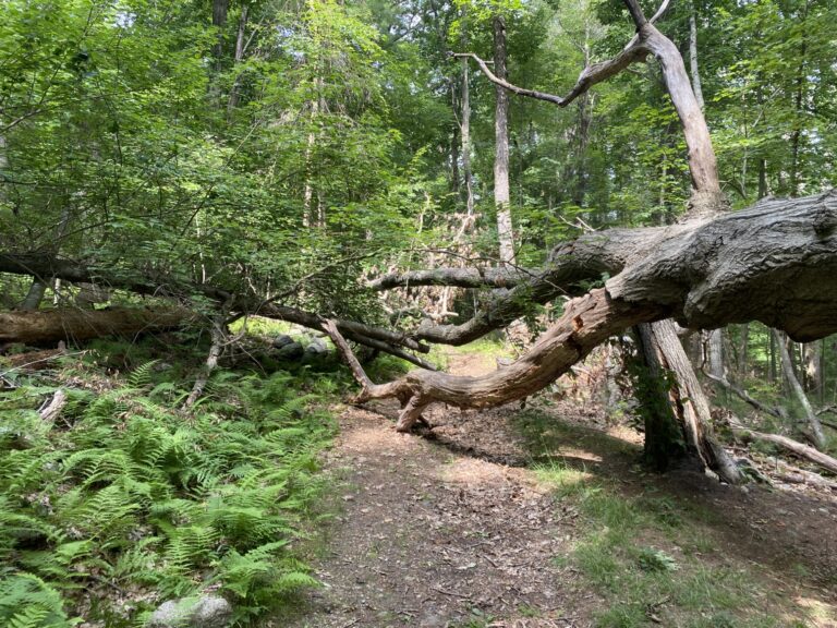
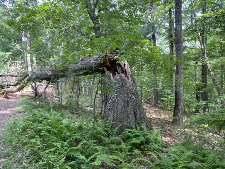
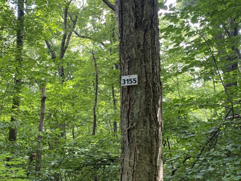
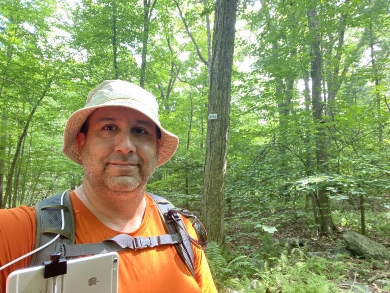
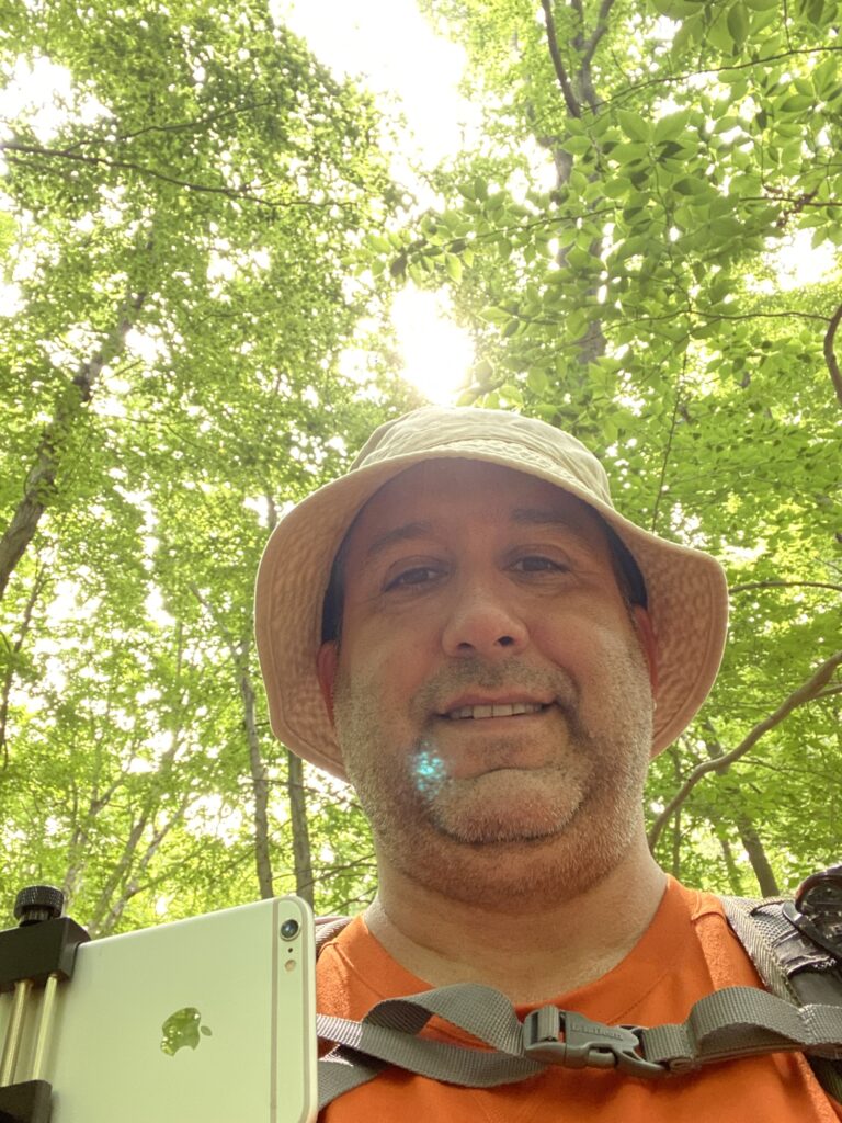
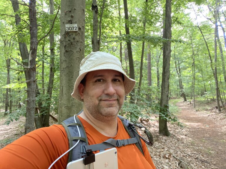
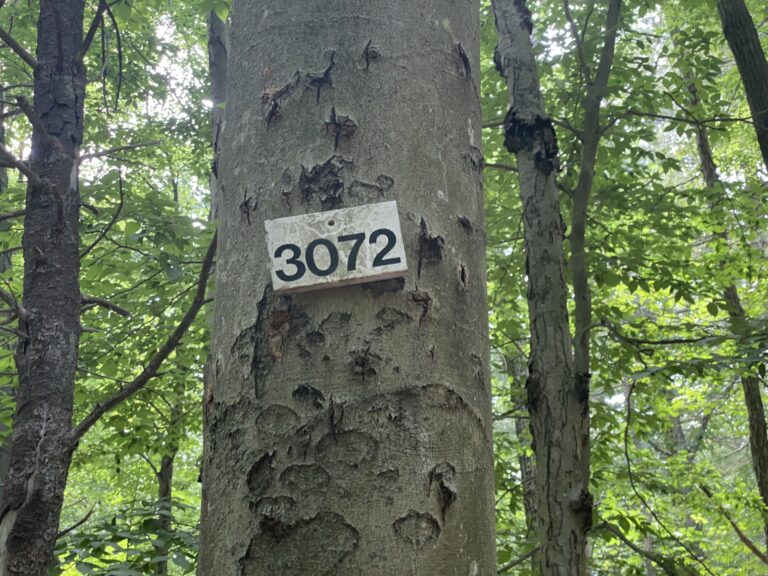
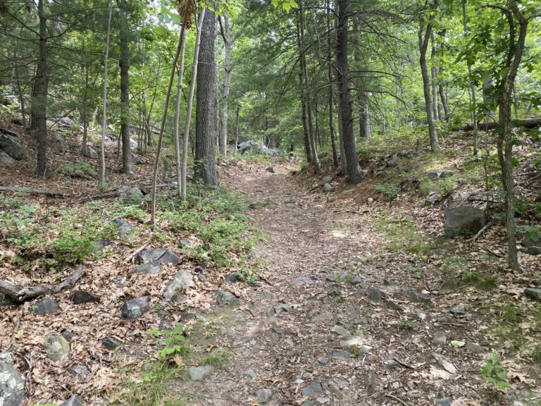
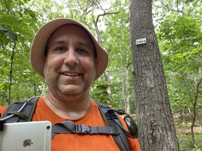
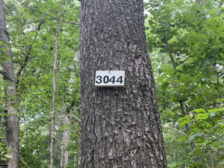
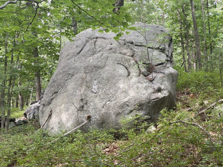
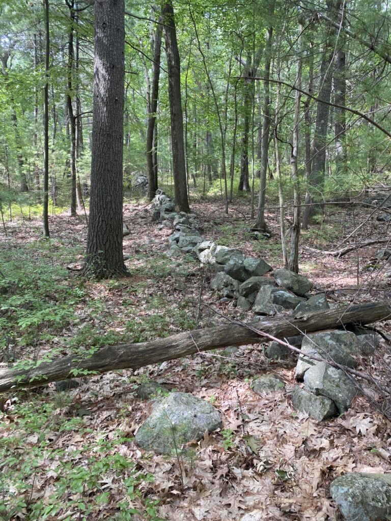
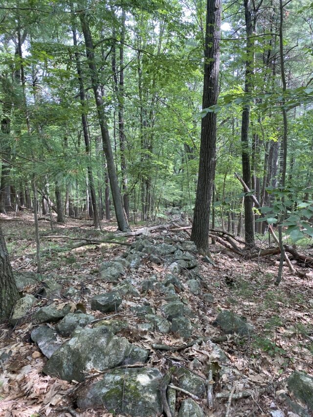
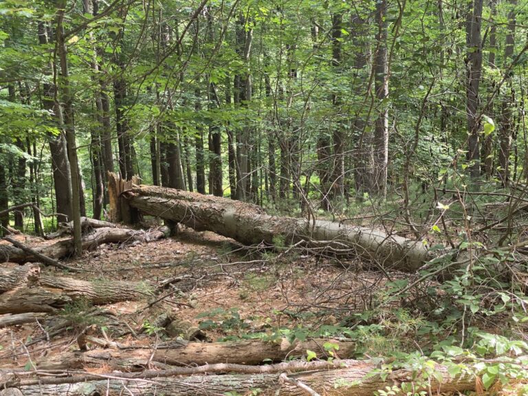
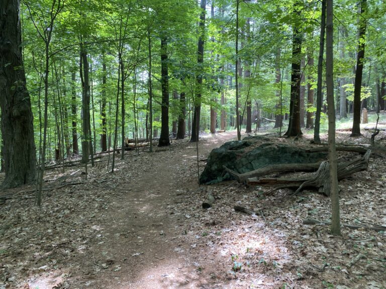
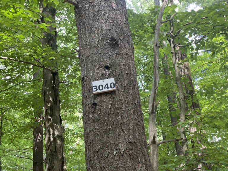
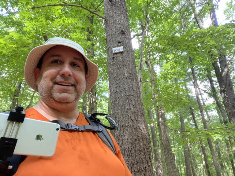
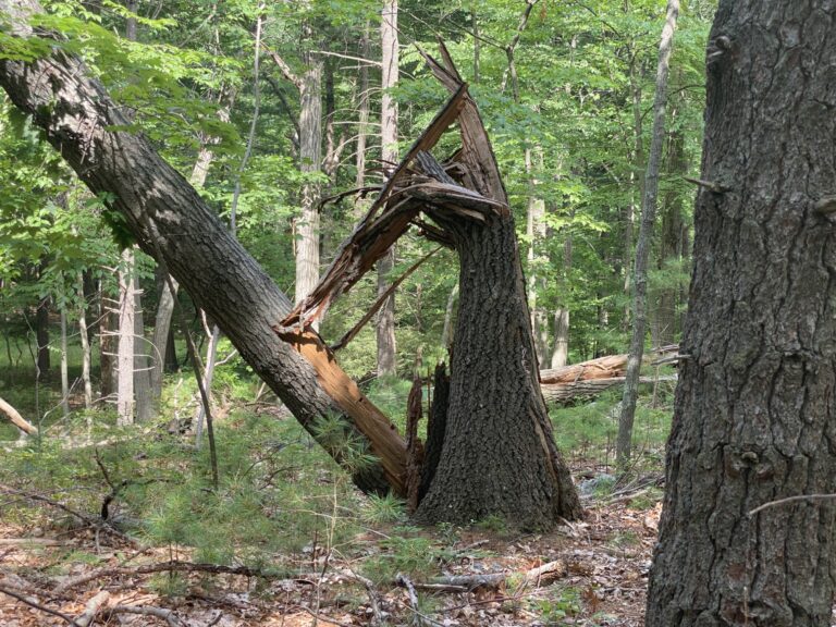
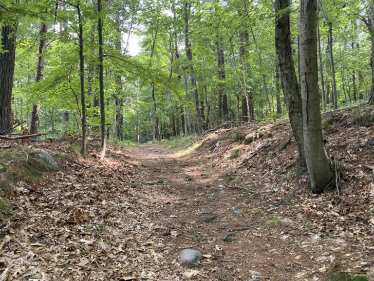
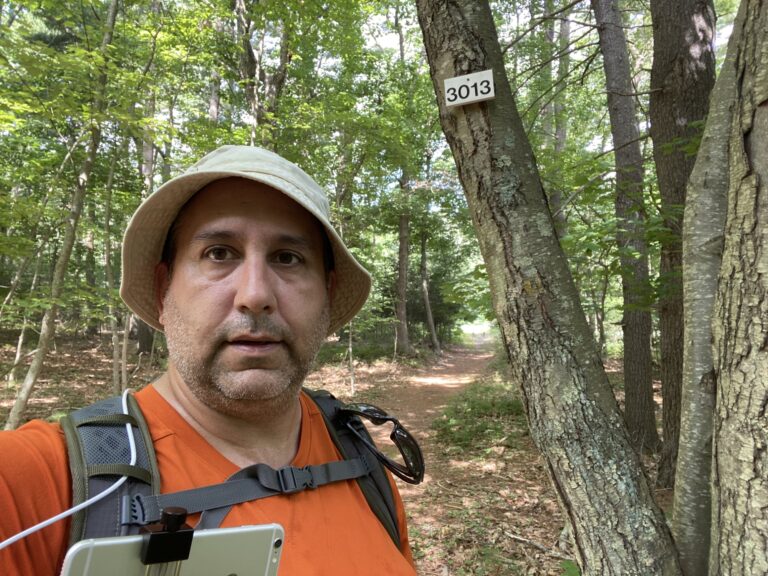
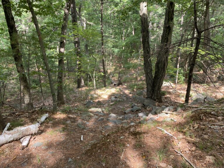
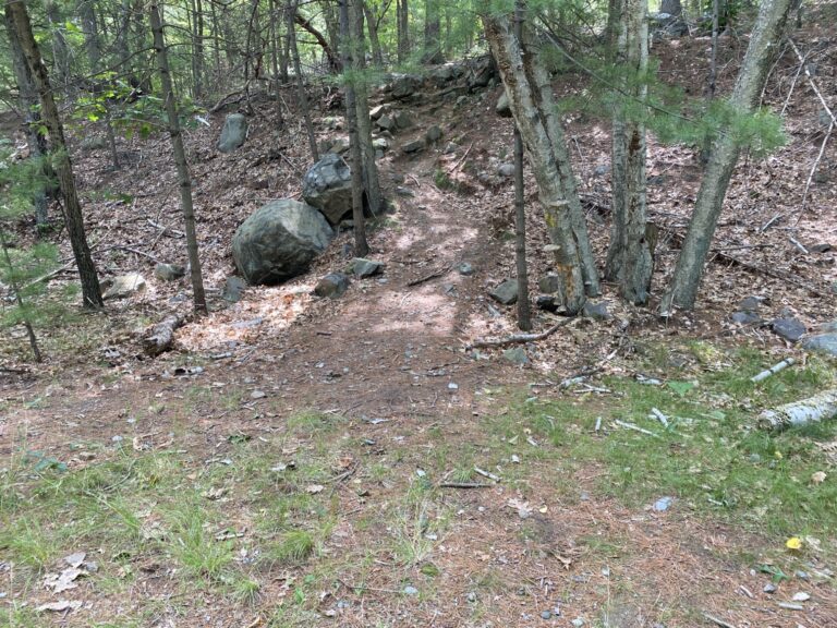
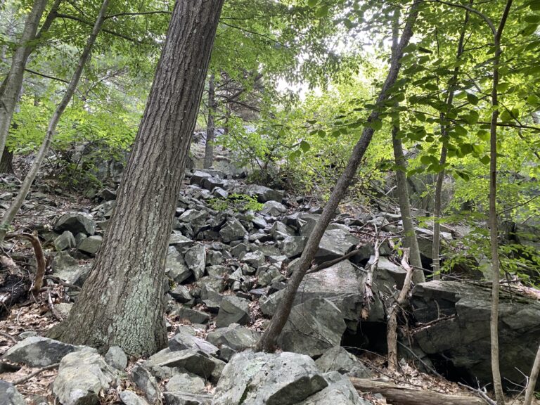
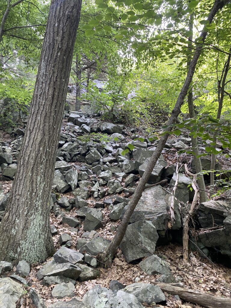
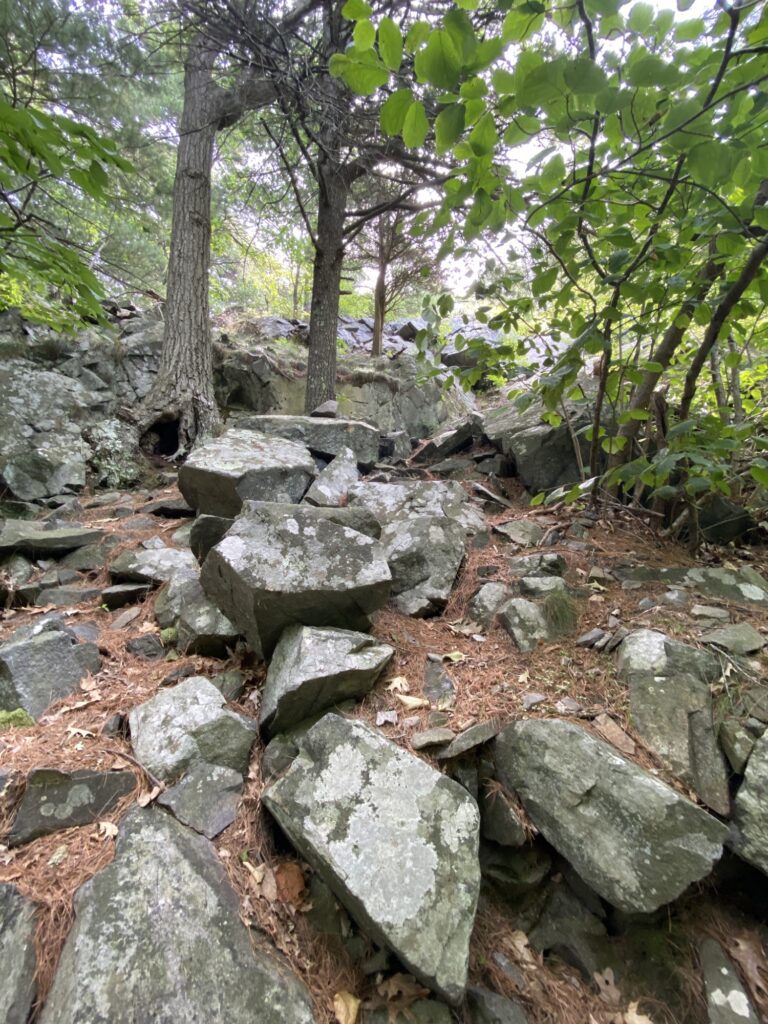
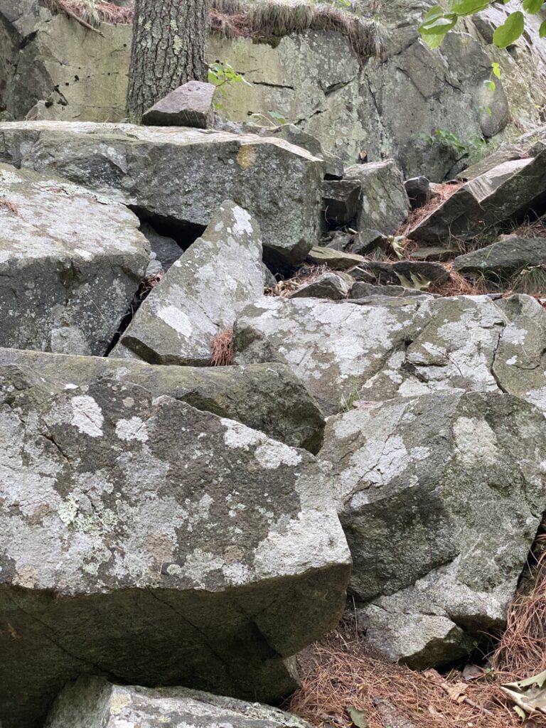
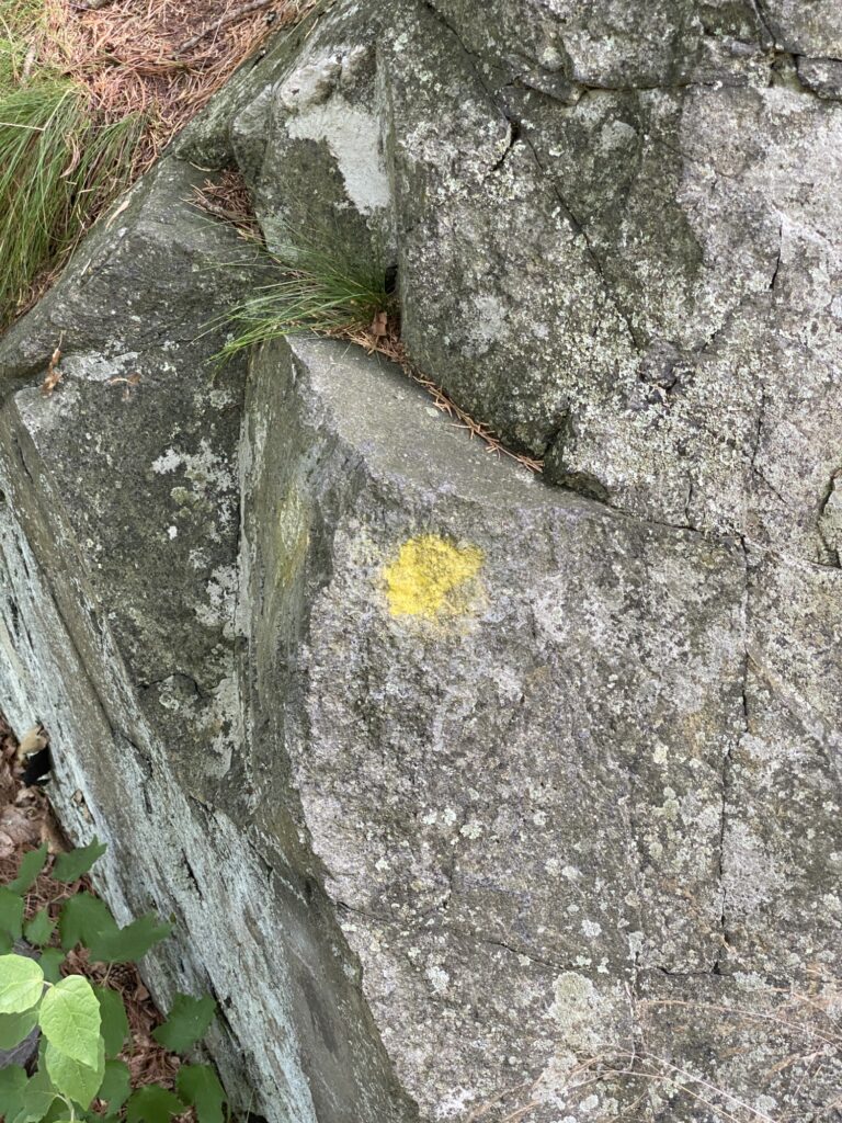
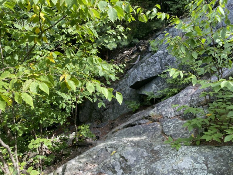
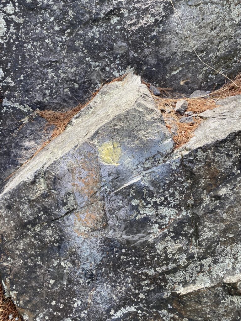
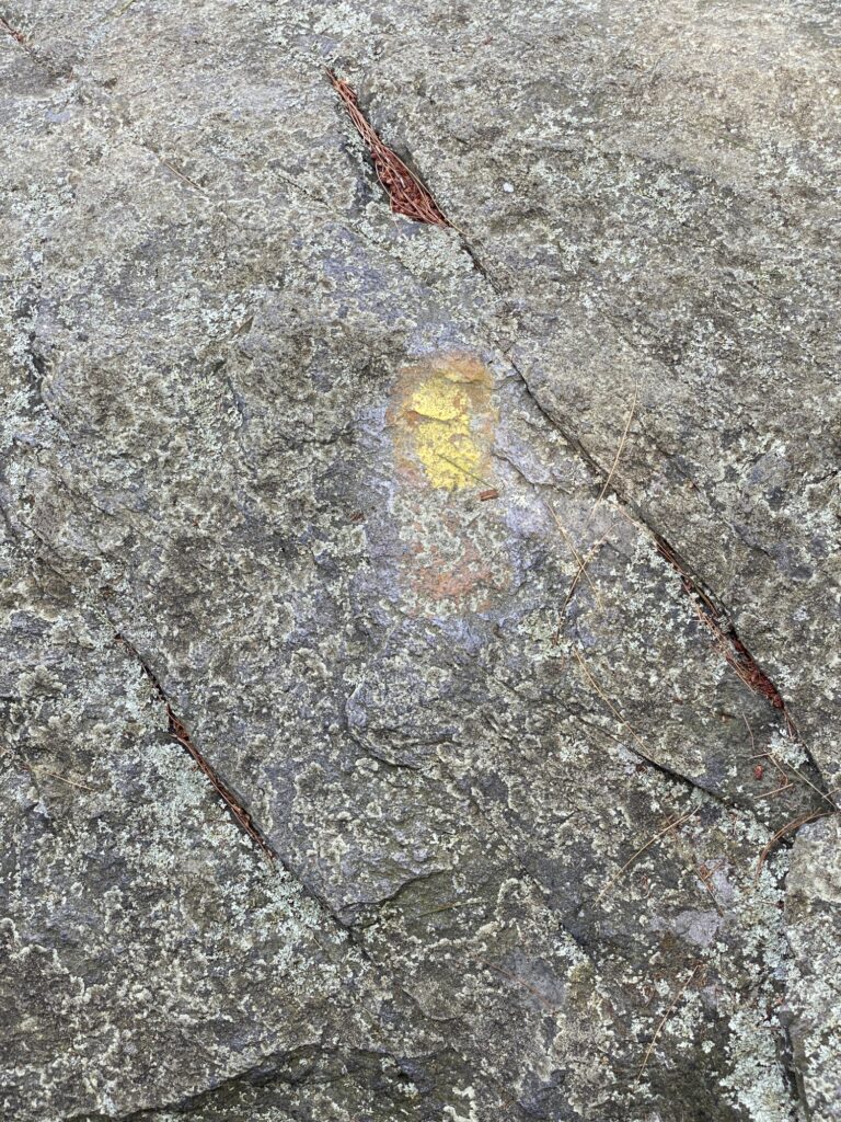
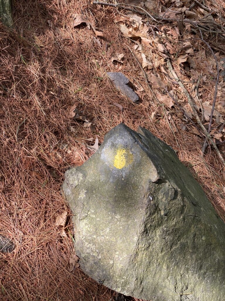
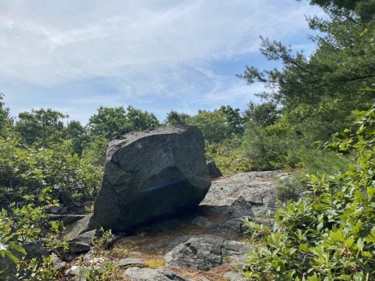
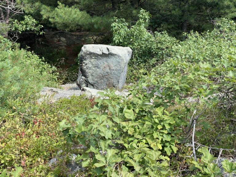
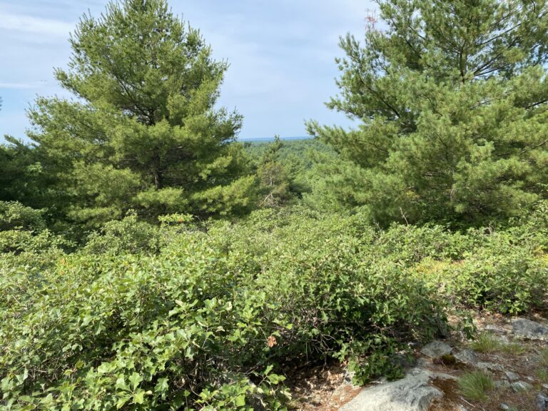
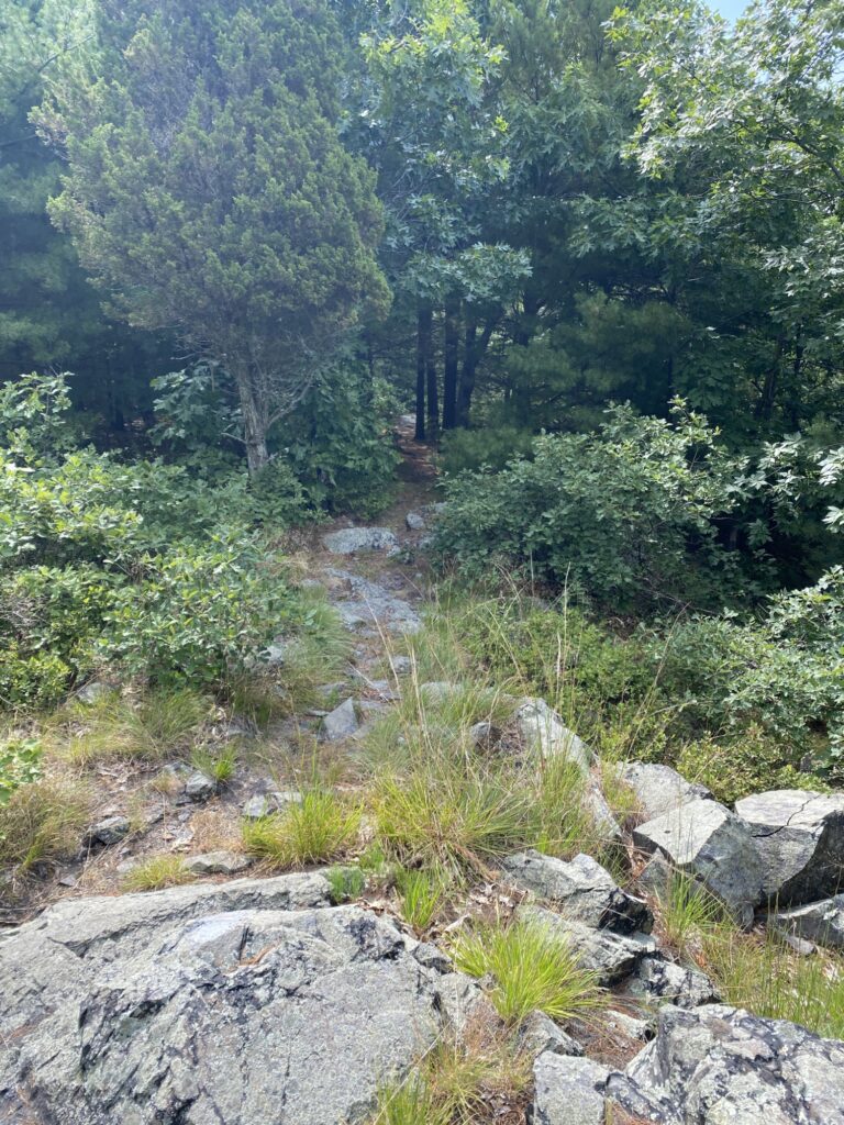
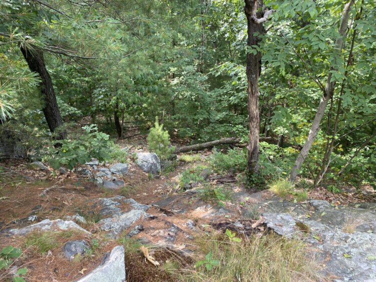
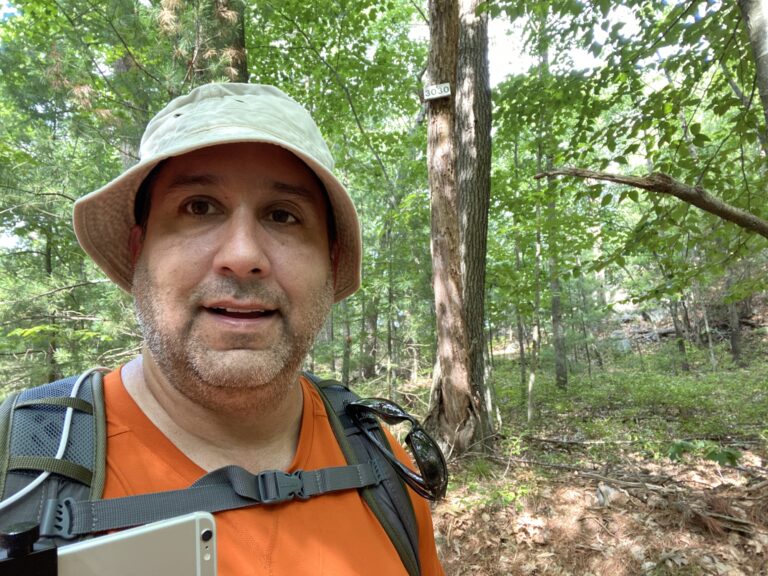
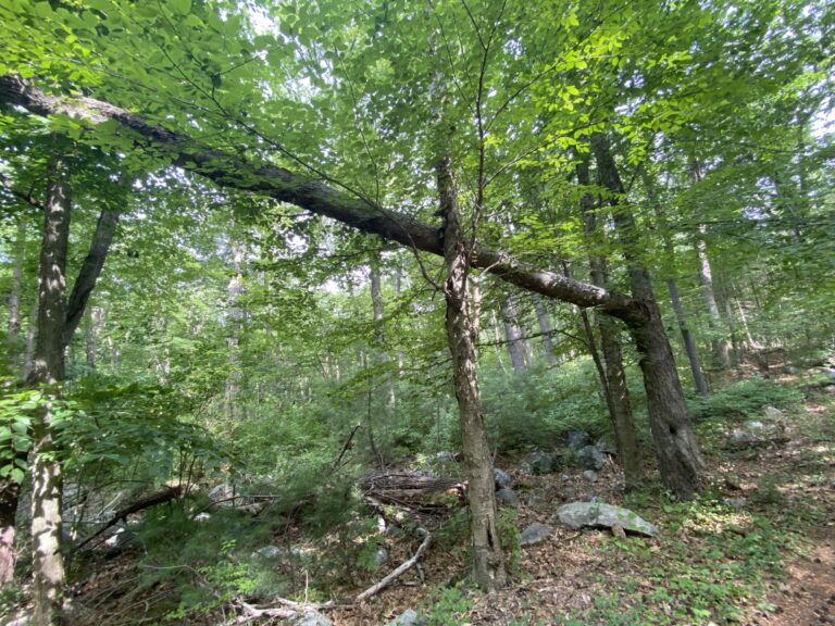
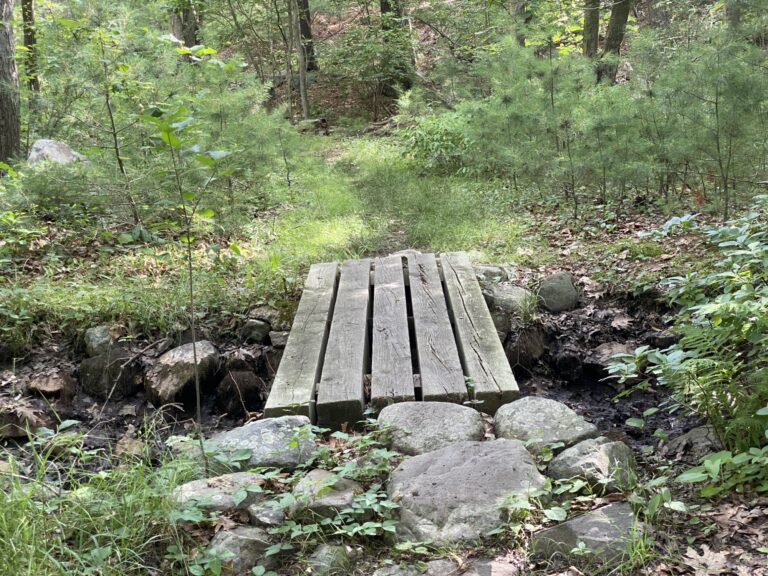
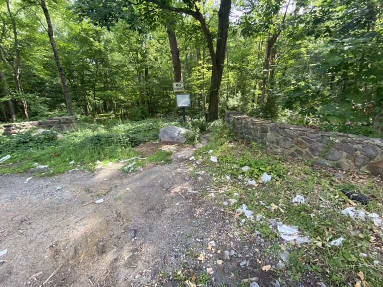
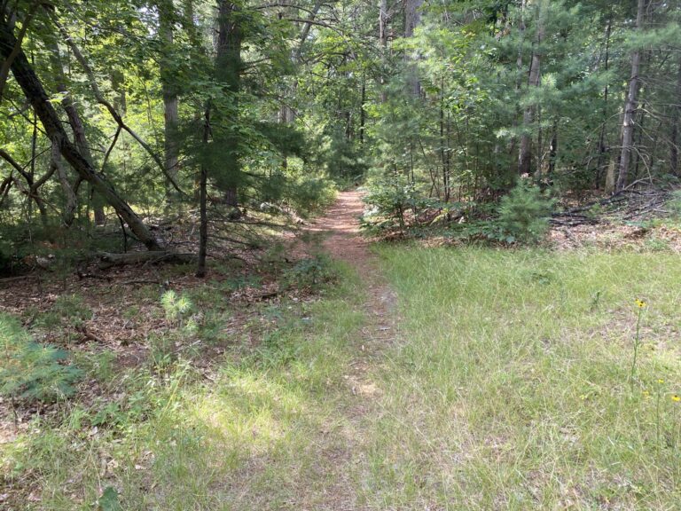
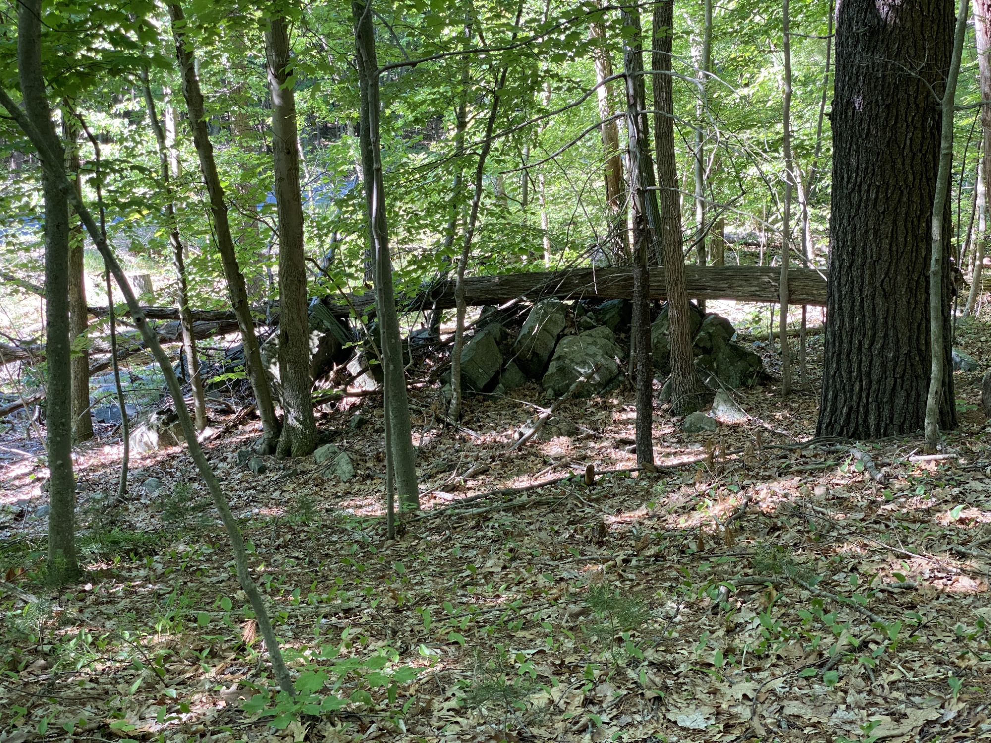
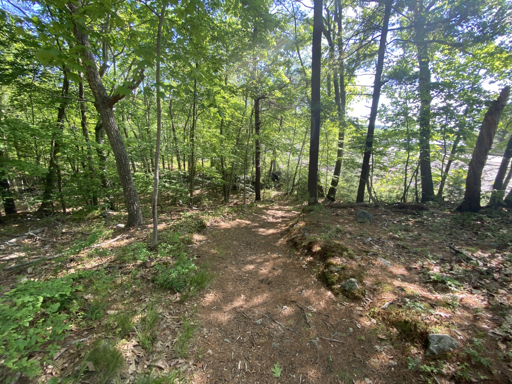
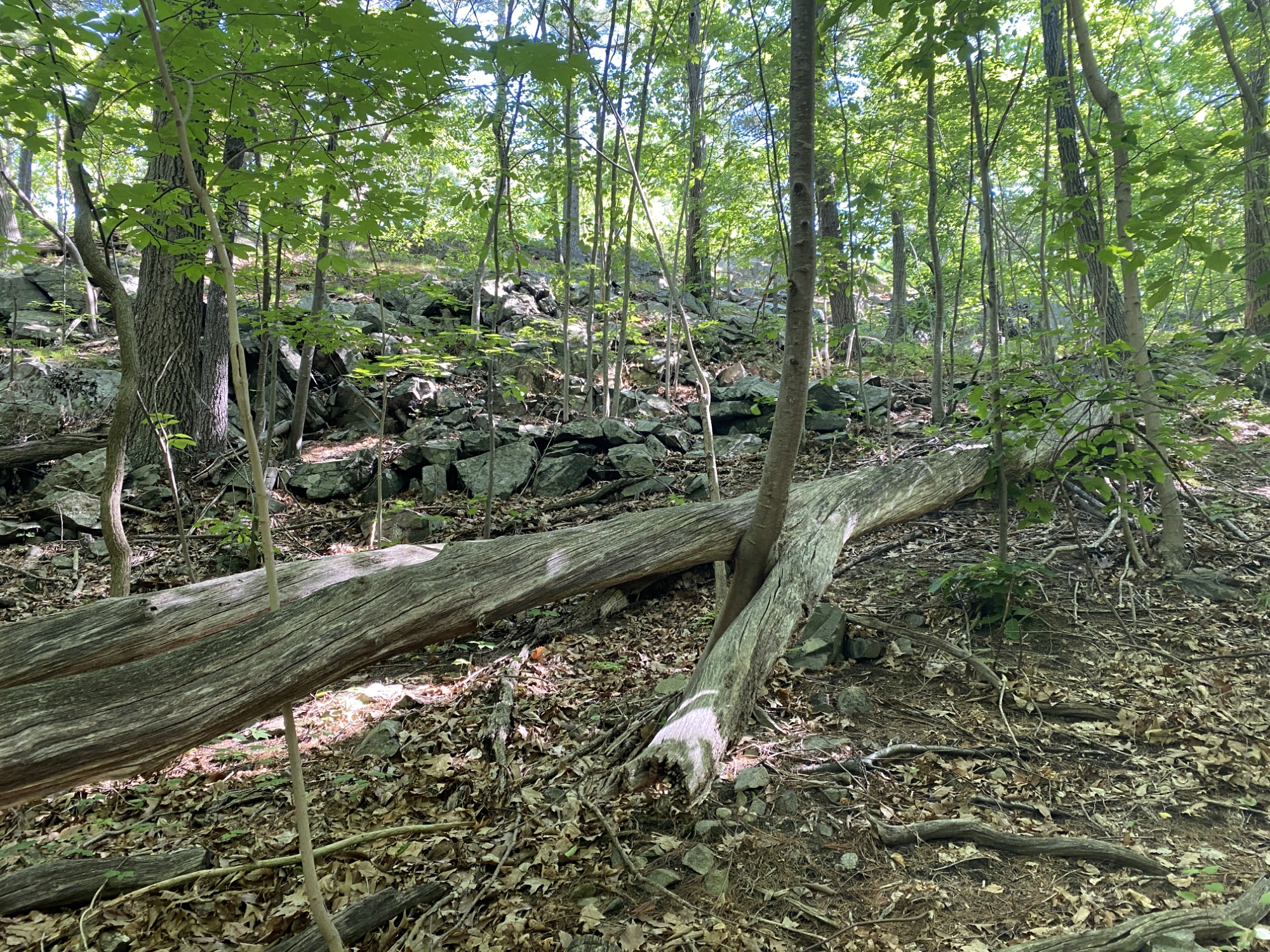
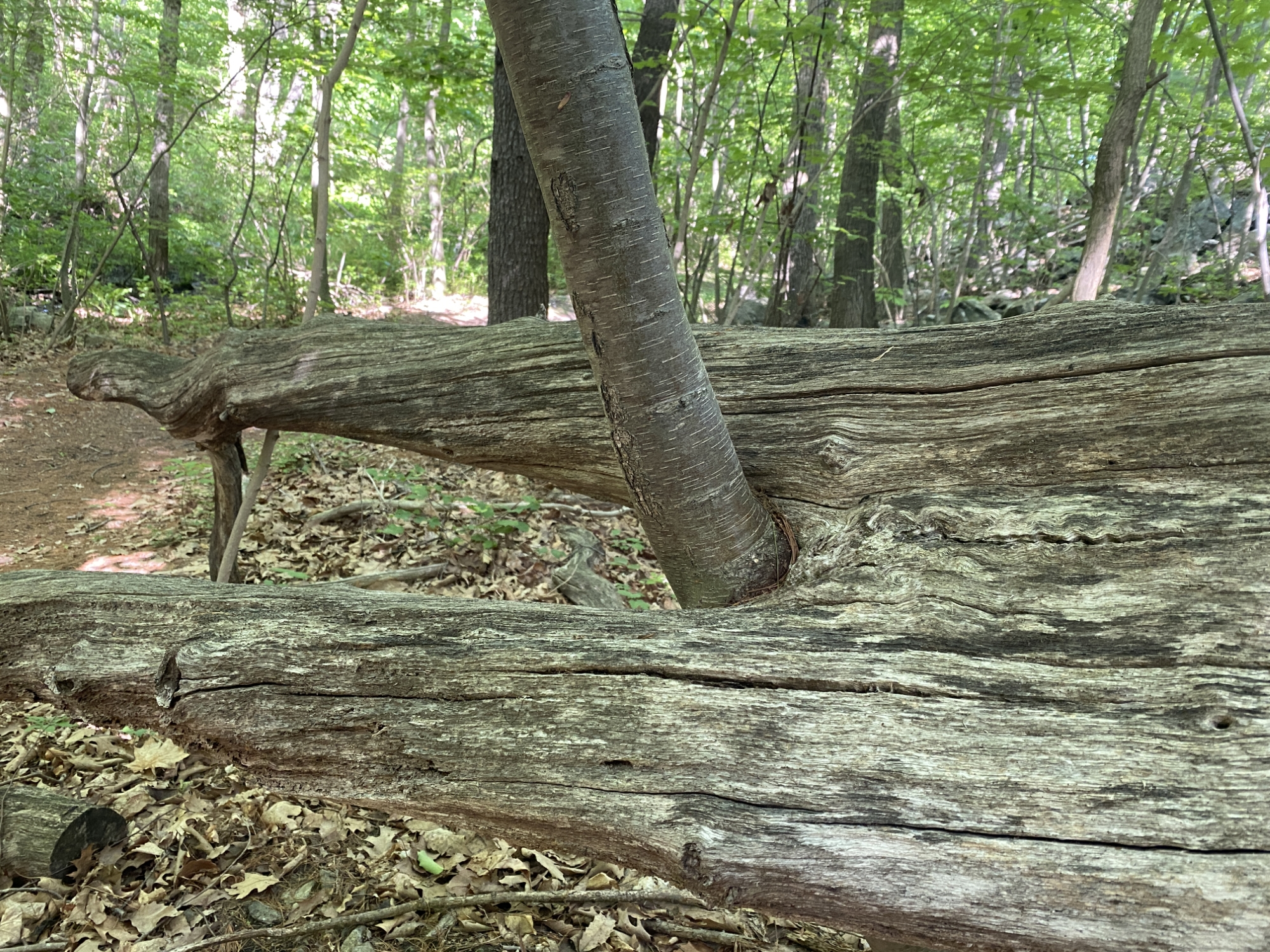
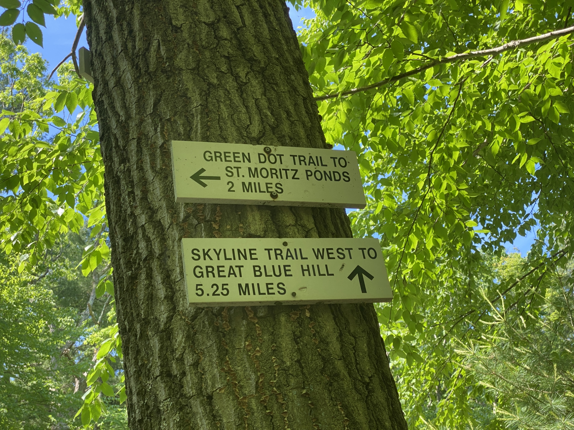
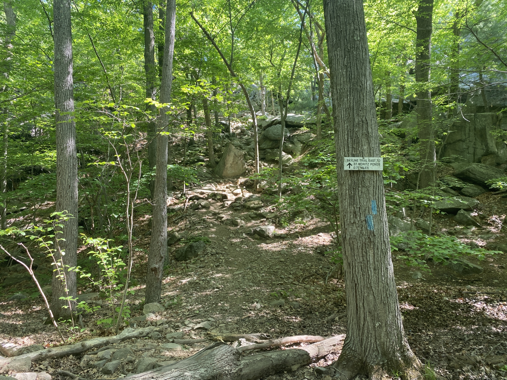
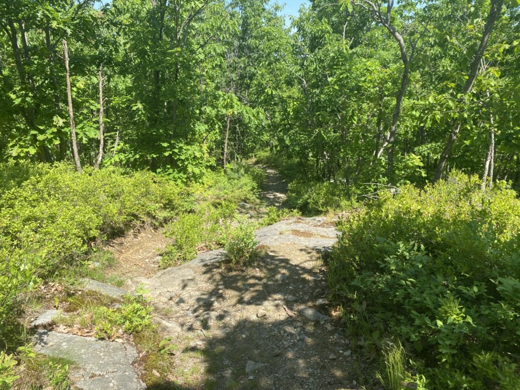
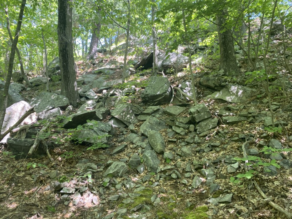
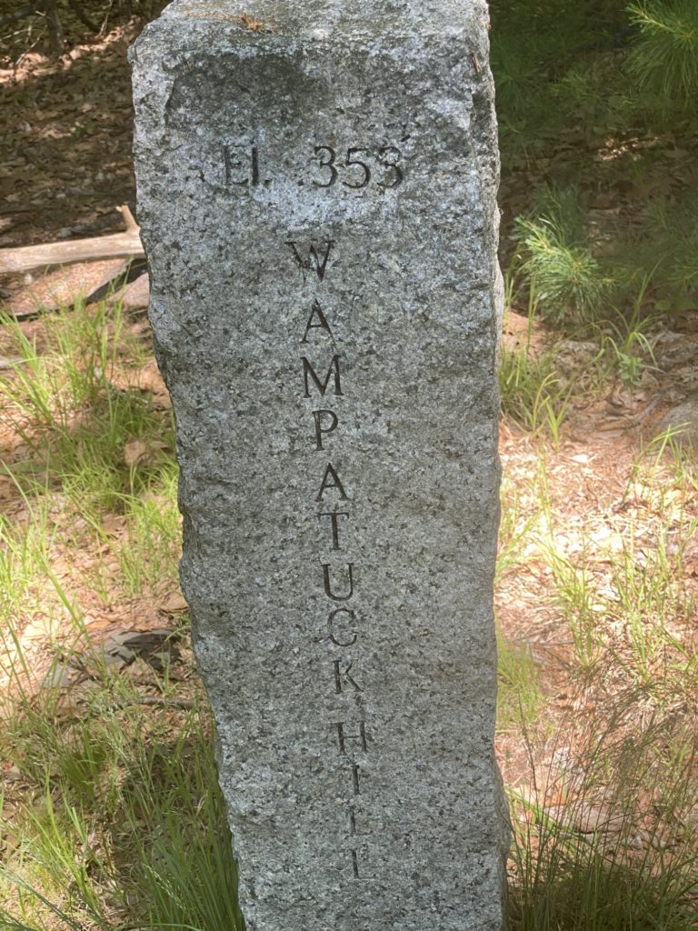
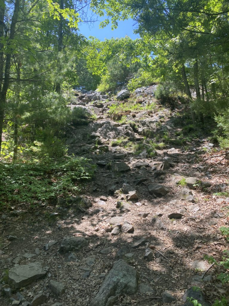
I am way behind on making these blog posts. It is currently mid-October and I’m just now getting around to catching up with hikes I wrapped up in July! So the next several narratives are going to be limited to the few parts of the day I can remember. The biggest thing I remember about this day is that descending the West side of Hawk Hill while sticking to the trail as its marked on the map was very difficult. This was seriously the steepest and most treacherous downhill climb I had experienced on the trail. It was hard to believe that this was the actual trail and several times I was in doubt that this was the intended path. As I carefully scrambled and scooted down the hill on my butt, I found a few very faded trail makers painted on the rock which reassured me I was on the actual trail. After that harrowing descent I embarked on an even more dangerous challenge, crossing Rt. 28 a total of four times. Obviously I survived, but you never know if the pilot of the speeding 2-ton metal brick flying by you chose that very moment to check their texts, so scary nonetheless. After looping around the roadway, I trekked back into the woods and hit a bunch of named trails: Savoy Path, Hawk Hill Path, Braintree Path, Bouncing Brook Path, Glover Path, and Bugbee Path. I finished up with a long straight walk along the Pipe Line from Chickatawbut Rd to nearly the end of the 3000’s section. I’ve found that I like wrapping up a hike with a long uninterrupted path. It lets me wind down a bit and relieves me from constant checking of my GPS to make sure I’m on track.
Day 8 – The Elevation Strikes Back
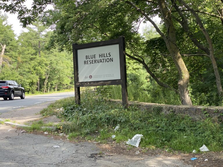
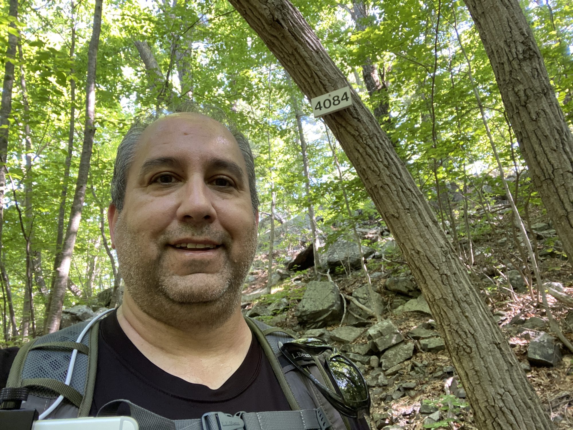
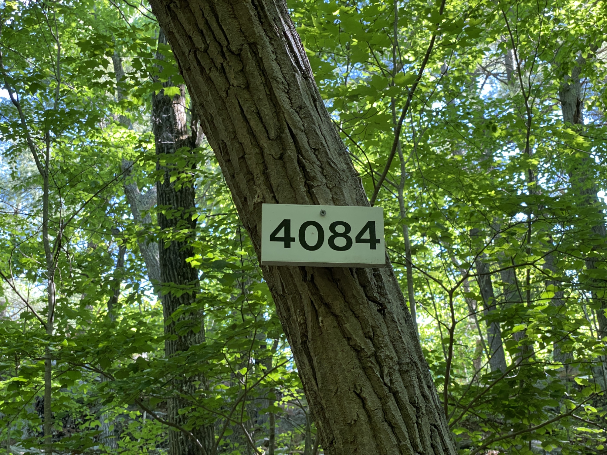
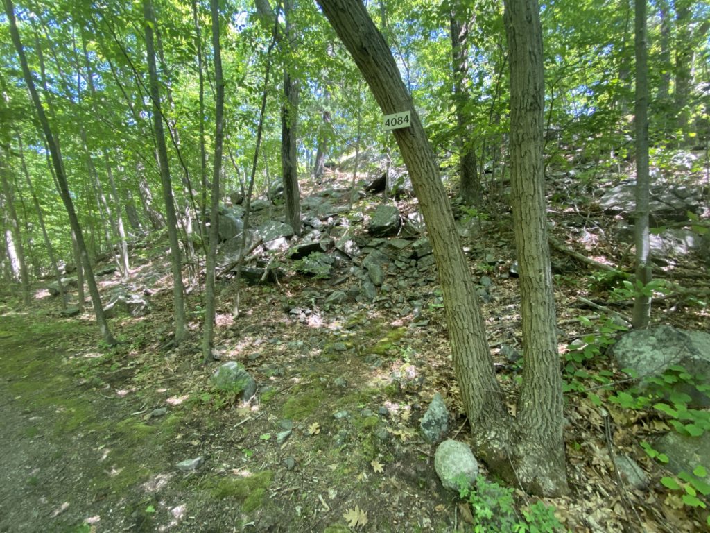
It seems like I’m destined to spend FOREVER covering all the trails in the 4000 area. The plan for this day was to wrap up the section and then move on but sadly that did not happen for reasons which I will get to later. Otherwise it was a perfect day of hiking. The weather was sunny and warm with zero chance of rain. I got out early as planned hoping to beat the worst of the noon heat and parked at the small dirt lot at Blue Hills Reservoir. As soon as I got out of the car I debating taking the roughly 1/2 mile circle around the res, but figured I’d just loop it when I got back out of the woods. There were a few sections of the plan where I knew I’d have to cover the same trail twice, but I’m slowly accepting that duplicative efforts are really unavoidable. I headed up Chickatawbut to cover the East tine of the fork at the bottom of Pasture Run having skipped it last time, followed it up to #4048, then back down via Ridge Path. Then following the path that parallels Chickatawbut on the North side, I headed halfway up Brook Path until #4084.
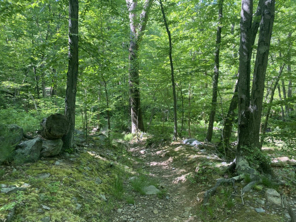
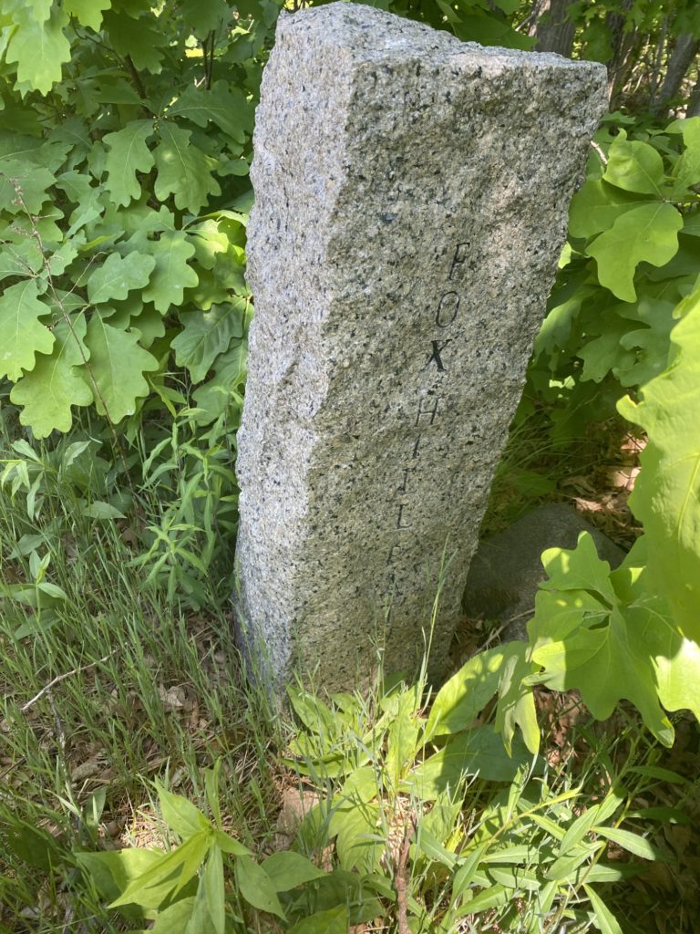
My route was supposed to take me up a small connecting trail to Fox Hill Path. Only problem was I could not find the path. I stomped around a bit looking for any signs of a worn section in the dirt or blazes or anything. I started to madly consult my iPhone GPS on AllTrails and Maprika, but my geek brain knows that the iPhone GPS has an average margin of error of 9.9m. I returned to the #4084 intersection marker and with a fresh set of eyes when I finally saw the rocky trail that clearly lead up to Fox Hill Path. I huffed and puffed my way up the hill (ELEVATION!) and encountered my first missing trail marker in a long time. #4096 was nowhere to be found so the Sharpie and index cards were employed for a DIY sign. I headed right back down the hill I had just climbed via Fox Hill Path and turned onto Indian Camp Path, where I followed it all the way to the Skyline Trail at #4155. This is when I officially gave up on completing the 4000’s for the day. The plan had me continuing all the way past Wampatuck Rd, continuing to the Pipe Line to the bottom of Murphy Path at #4202 then doubling back; roughly a mile of hiking. Nope. I was irritated at not finding the path at #4084 and then further irritated at not finding the sign for #4096 and the temps had already hit 80+ degrees so I called an audible and decided to skip the extra mile of hiking. It’d be easy enough to make it up later.
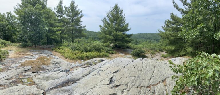
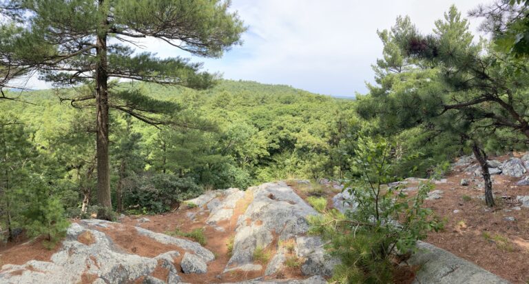
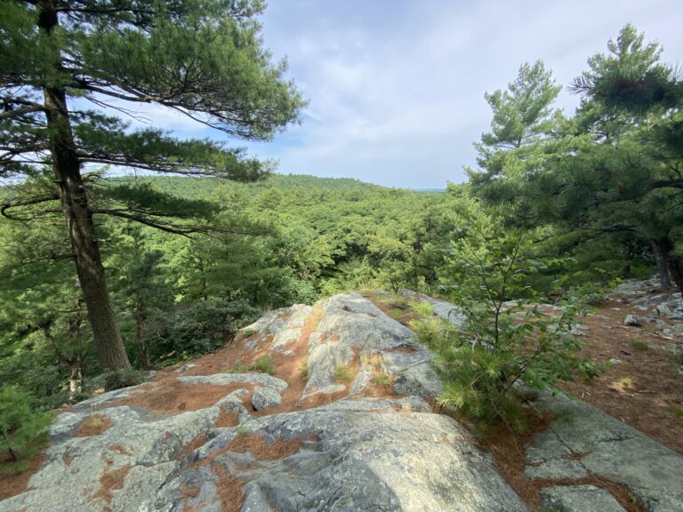
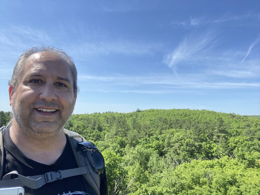
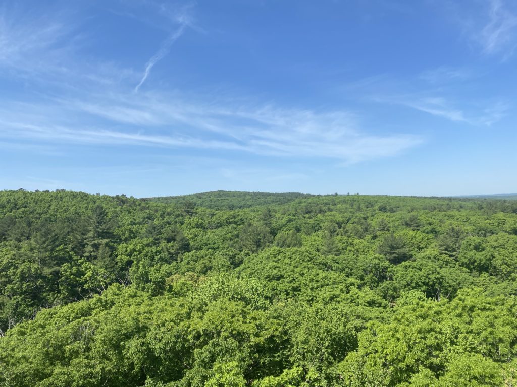
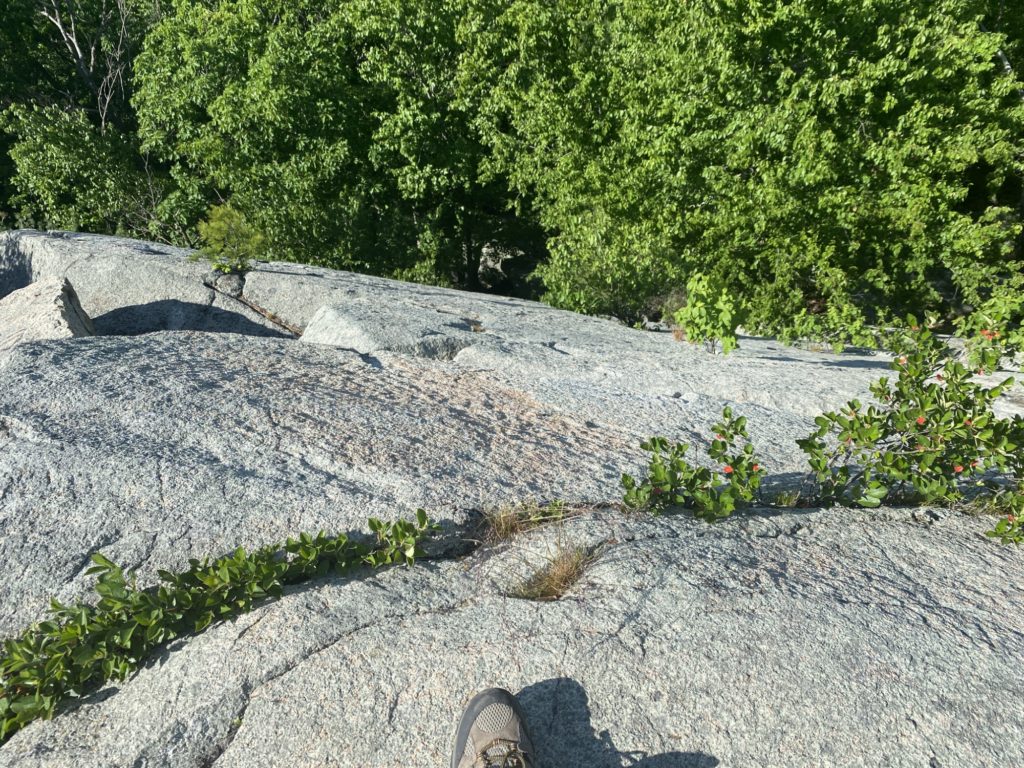
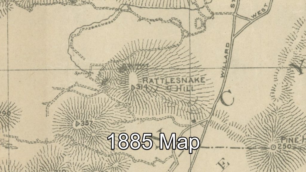
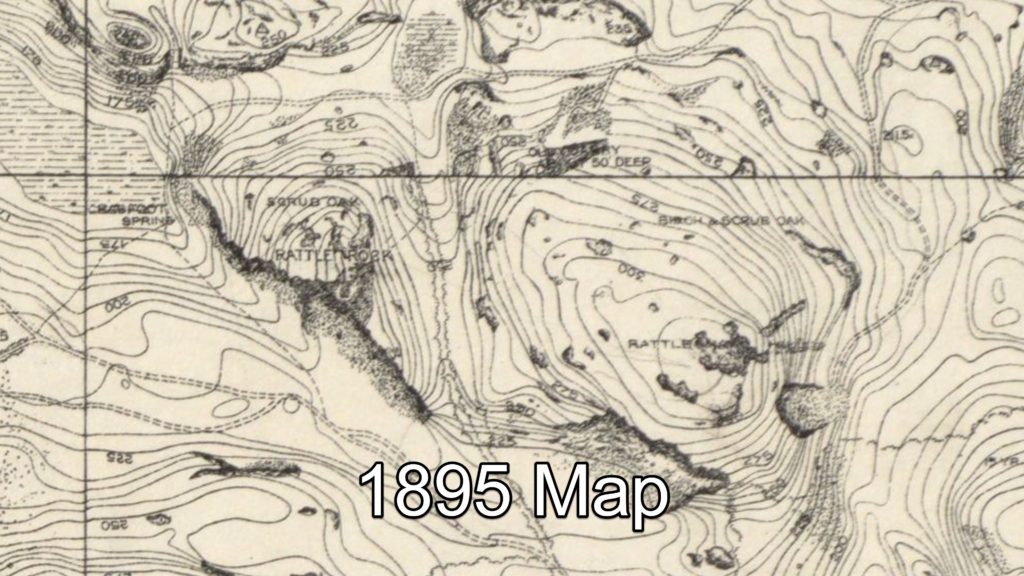
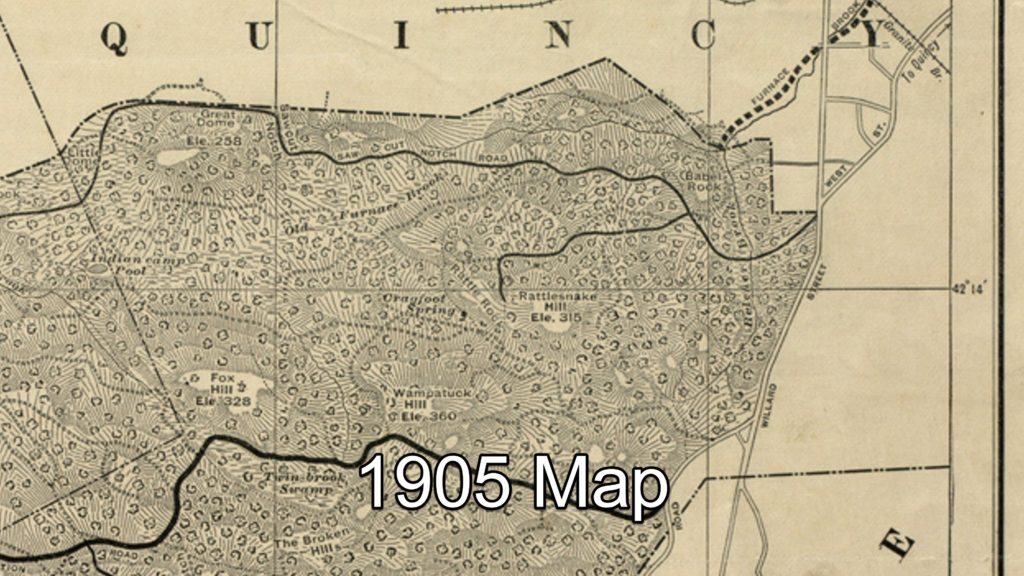
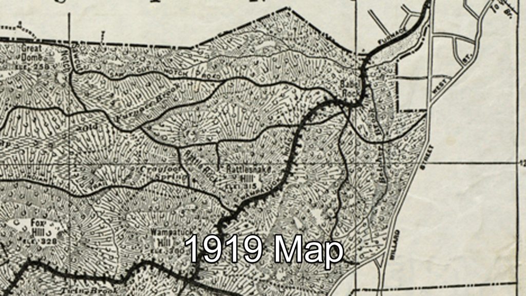
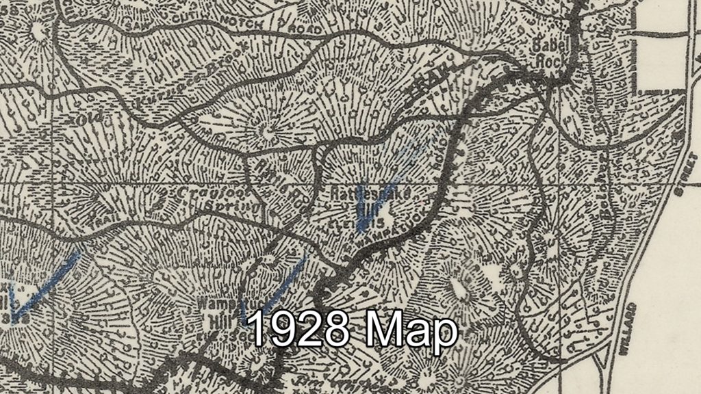
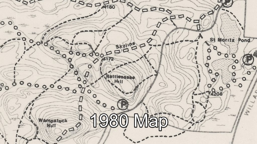
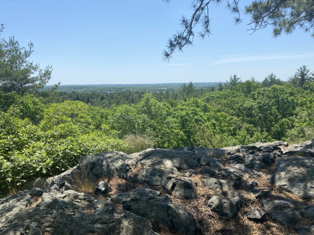
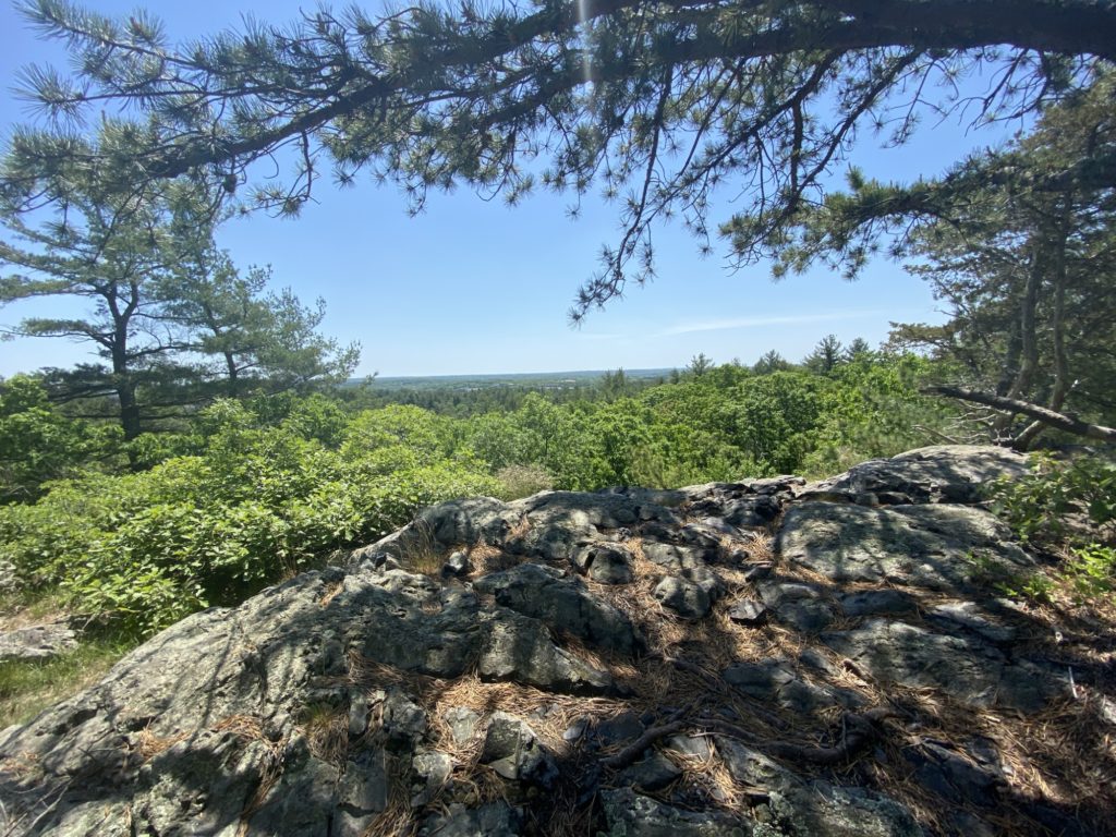
My mood was much improved when I discovered a rocky crag just off the Skyline Trail (ELEVATION!) with some amazing views across the valley to the peak of Rattlesnake Hill. There were a series of rusted metal posts embedded in the rock which I’m guessing was part of long since decayed protective fence. Thanks to Eric Heinrich and Jay Theriault from the 125 Mile Club Facebook group for helping me later identify this outlook as Rattle Rock. Jay even pointed out that the crag was actually labeled Rattle Rock on the 1905 map of the Blue Hills. I’ve been collecting as many digital copies of old maps of the Blue Hills that I could find so after looking through what I have, the first map that shows this label is one dated 1895. It then shows up on maps I have from 1905, 1919, and 1928. My collection has a big chronological gap after 1928 with my next edition being dated 1980 which does not show the name Rattle Rock. So somewhere between the Great Depression and Reaganomics, the label was dropped from the maps.

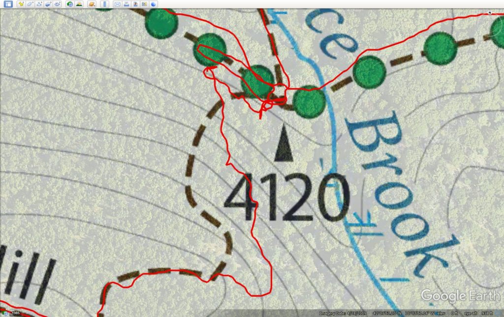
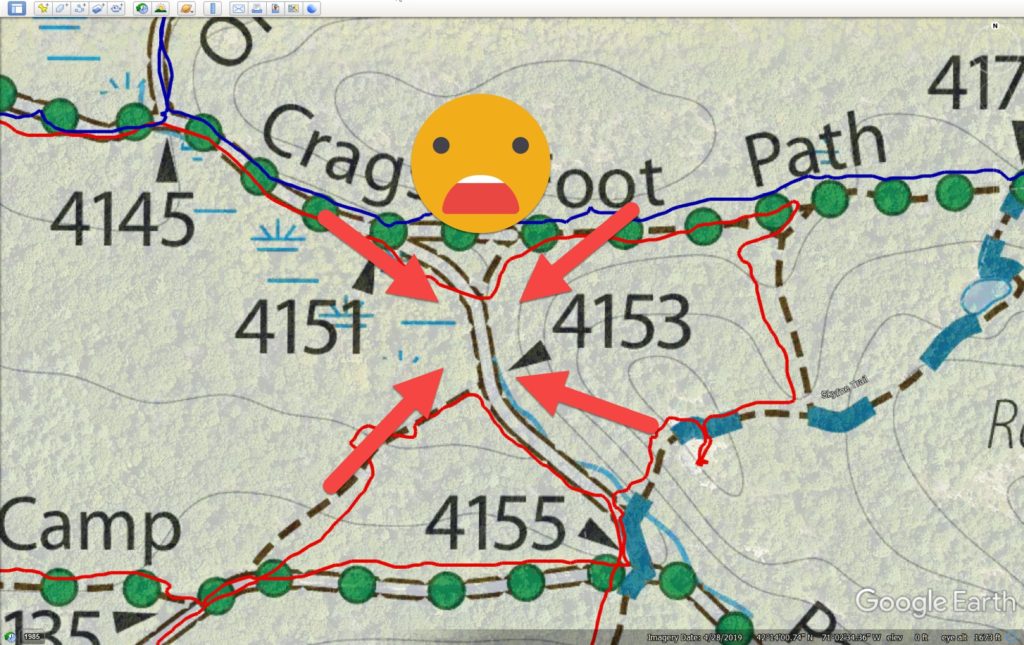
After some water and a protein bar while enjoying the view, and with a lifted spirit, I continued on by cutting through a small connector trail over to Crags Foot Path. There is a small triangle in the trail which leads off to #4153. I was sure to cover the adjacent and opposite sides to the triangle as I had skipped them on Day 7 when I hiked the hypotenuse. (Go Geometry!). At the apex, there was a tiny 200 foot trail that headed South that I knew I would have to cover with a quick back-and-forth but I told myself I’d cover it later on in the hike on the way down from Wampatuck Hill. I continued re-tracing parts of Crags Foot Path that I had hiked with Brenda on Day 7 until reaching #4142. Here I turned off onto yet another unnamed trail to #4120 where I would head to the top of Fox Hill again (ELEVATION!). This time I had an even harder time finding the actual trail. More furious checking of my iPhone GPS and some back and forth pacing on the trail did not help the matter. I was so befuddled I forgot to take my usual picture of just the intersection marker. I noticed two rounds of lumber near the marker so I thought these might serve as entry posts to the trail, but that proved wrong. After about 10 minutes of stomping around, I said “F*** It!” to myself and just pointed myself towards the top of the hill and started walking. I found the actual trail about half way up but by this point my previously lifted spirits had devolved into irritated territory. If you feel like self inducing some motion sickness you can see my bodycam footage swivel around and around several times as I persistently look for the trail. I’ve also included a screengrab of my tracking on Google Earth to show my confusion. I finally made it to the top and then proceeded to follow Fox Hill Path all the way down, past the missing #4096, and down to Indian Camp Path. I followed this to a small trail triangle formed by #4082, #4085, #4086 which I had also covered on Day 7. I turned onto a small path at #4090 towards #4073, re-traced some of the Day 7 hike on Pine Tree Brook Path where I came to #4084 where I had to now climb Fox Hill a THIRD time! (ELEVATION!). Mental note: double-check what parts of the trail I choose to double-back over for elevation. By this time I had mentally replaced the “Fox” in Fox Hill with another choice F-word. I followed F*&% Hill Path down to the where it paralleled Chickatawbut Road until I go to the Pipe Line across from the Blue Hills Reservoir.
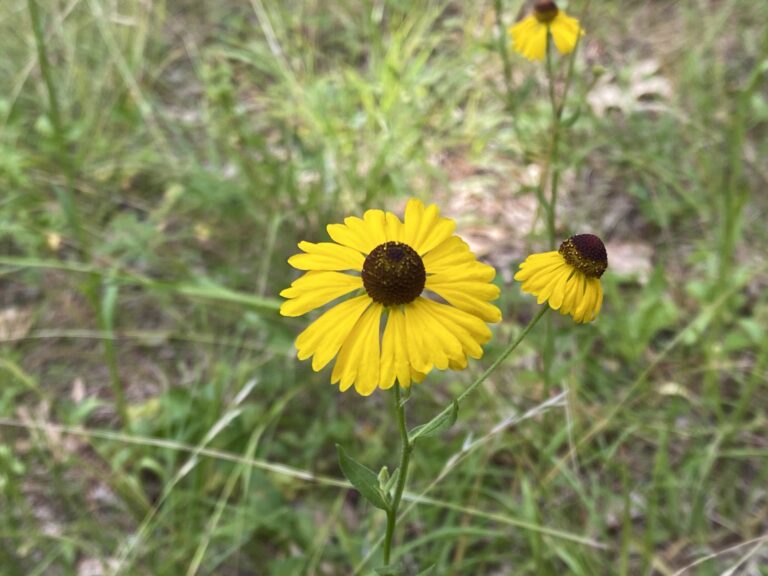
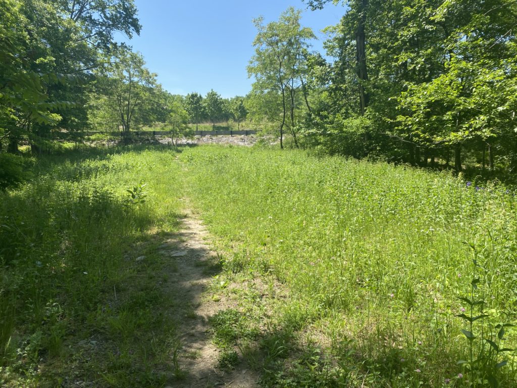
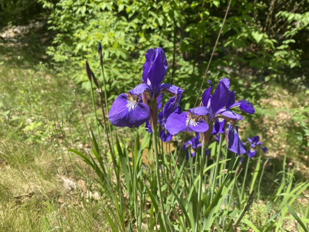
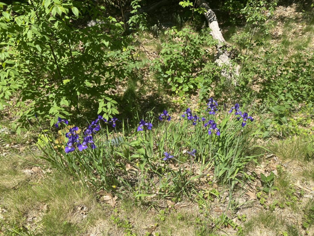
It is now 11:30am, temps are now roughly 85-degrees, the dew point is in the muggy zone, and the mosquitos are out in full force. The DEET does keep them from actually landing and biting you, but it does not prevent them from swarming around your face and buzzing your ears, eyes and nose. For the first time, this is feeling a bit more like a chore and less like a leisure activity, but nothing worth doing is always going to be easy so I soldier on. I must say that the area around the pipeline is quite lovely with more open trails and fields and some nice beds of wildflowers that I’m sure will just expand over the summer. I cover a figure-8 in the trail and notice that the trail map shows a very acute triangle at it’s top so I do the requisite up and down to ensure I cover all sides (Geometry!). I cover the path from #4131 to #4134 and follow the Skyline Trail to the top of Wampatuck Hill (ELEVATION!) and then back down to #4155. I’m exhausted and I know I have just under a mile back to the car and I’m looking forward to some AC and a cold shower. I turn off Skyline at #4155 and cover another triangle in the trail which I had partially covered earlier. This is where I make my third mistake of the day that I did not realize until much later. I was supposed to cover the 200 feet of trail North of #4153 with a back-and-forth on this return trip but in my eagerness to wrap things up I forgot and now I’m gonna have to hoof it back up there another day to tick that little section off the list. I trudge down the Pipe Line trail to Chickatawbut Road and I’m too tired to pull myself up and over the roadside barrier and even if I did, there isn’t much room on the road for pedestrians. Sticking to the safe side of the barrier came with it’s own dangers as I found myself on a very narrow ledge at the top of a steep dyke that formed a portion of the Blue Hills Reservoir. The farther I went along the road, the ledge grew higher and higher above the ground making this probably the most treacherous portion of the days walk. The barrier came to an end right across from parking lot for the res. No consideration was made for completing the shade-less trail around the res with that also put off for another day.
Day 6 – Four Paths and a Friend
My early morning weekend schedule continues to deter Patricia and the kids from joining me on my hikes. In all fairness, Patricia and Penny have seasonal allergies and were happy to stay sealed up in our air conditioned and air filtered house. Luckily my good friend Brenda is fine with both early mornings and long hikes so she volunteered to join me on today’s outing. We started out at the parking area on Wampatuck Road where I was concerned for the health of the front bumper of my low riding Golf R as we pulled off the pavement onto the gravel parking area. Nary a scrape was heard so the car survived, but barely. May grab the teens car (Kia Soul) next time I know I’m parking at one of these side-of-the-road gravel pits. We started out on a small connecting path that lead to Crags Foot Path and then zig-zagged across Wampatuck Road a few times and then turned onto Sawcut Notch Path. Unlike last week, I was able to stick to my planned path pretty easily and there was an abundance of trail markers to pose in front of. Brenda was quite amused at my selfie project. We turned onto Old Furnace Brook Path at #4180, cut onto Crags Foot Path again at #4145, onto Short Path at #4124. We rejoined Sawcut Notch Path at #4133. The skeeters were out in force today and Brenda and I patted ourselves on the back having dosed ourselves in DEET back at the car.


A left turn at #4133 had us headed to Little Dome and then onward to the CCC Camp. This part of the trail runs along the edge of the Granit Links Golf Course. We came across a swampy patch that was covered in a reddish brown residue and sludge. Neither of us had any idea what caused it. I wondered aloud if any runoff from the fertilizer on the golf course could be the cause, but no way to know. We also encountered the first of many ferns that Brenda was interested in. She had an app that identified each fern and we found a Sensitive Fern, a New York Fern, an Interrupting Fern, but I honestly don’t remember the name of the one I got a picture of. The map showed some sort of parking lot and structure on the northern path around Little Dome. When we got there it turned out to be a pumping station for the Algonquin Gas Pipeline. It also had an ominous WARNING sign on the fence but no members of House Slytherin were spotted on the trails. We got a little confused in tis area direction wise as the trail goes straight through the pumping station and follows the pipeline a bit where it was very muddy. Then we missed the turn onto the Sawcut Notch and had to double back a few yards to get back on track. Brenda was a good sport and joined me on the first of several back-and-forth journeys down dead-end trails in order to cover every marked path. The first dead-end path worried me as it was clearly on the official Blue Hills map, but not on AllTrails so wasn’t sure what to expect. Luckily it was very easy to find and was a ravine like rain trench that followed the path on the trail map perfectly. It dead-ended into a brush covered hill along the edge of the 4th Hole of the Milton Course at Granite Links. We re-traced our steps back to the main trail and headed to the CCC Camp.


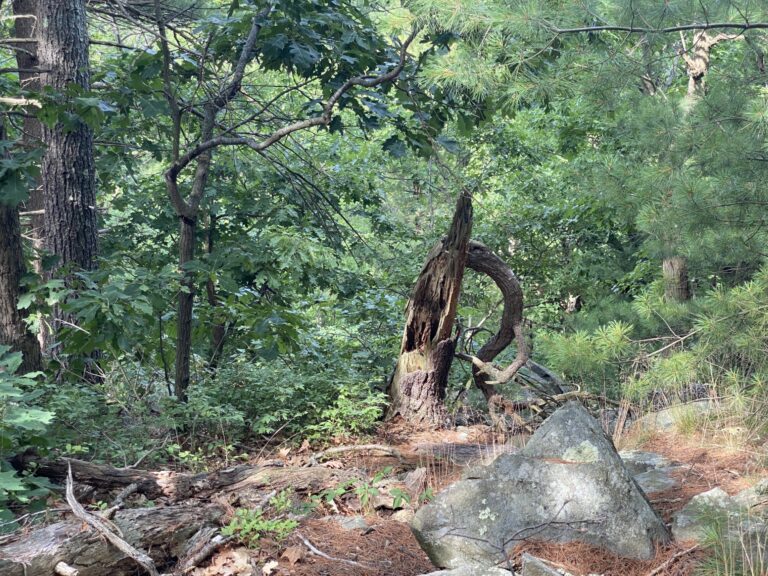
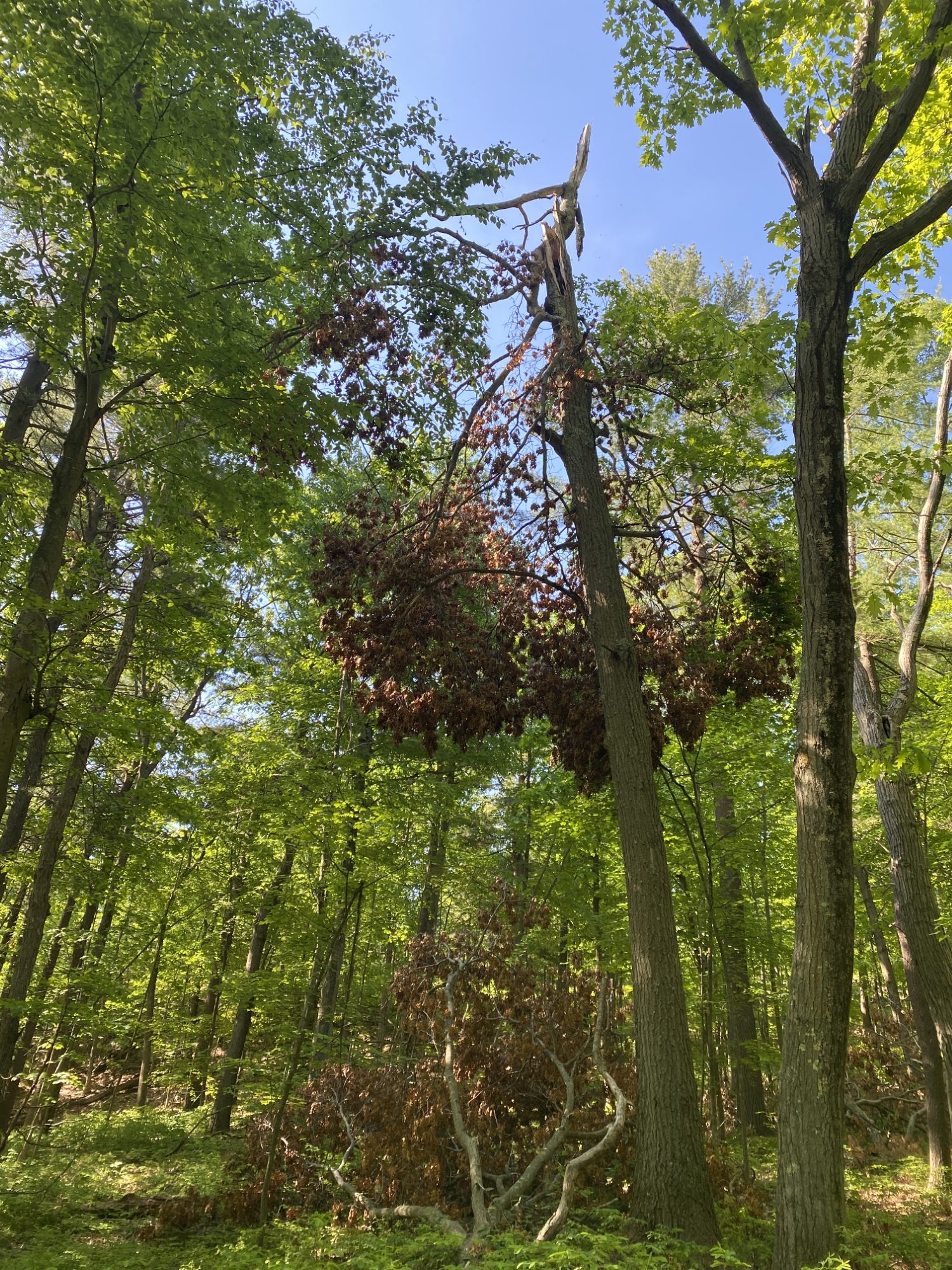
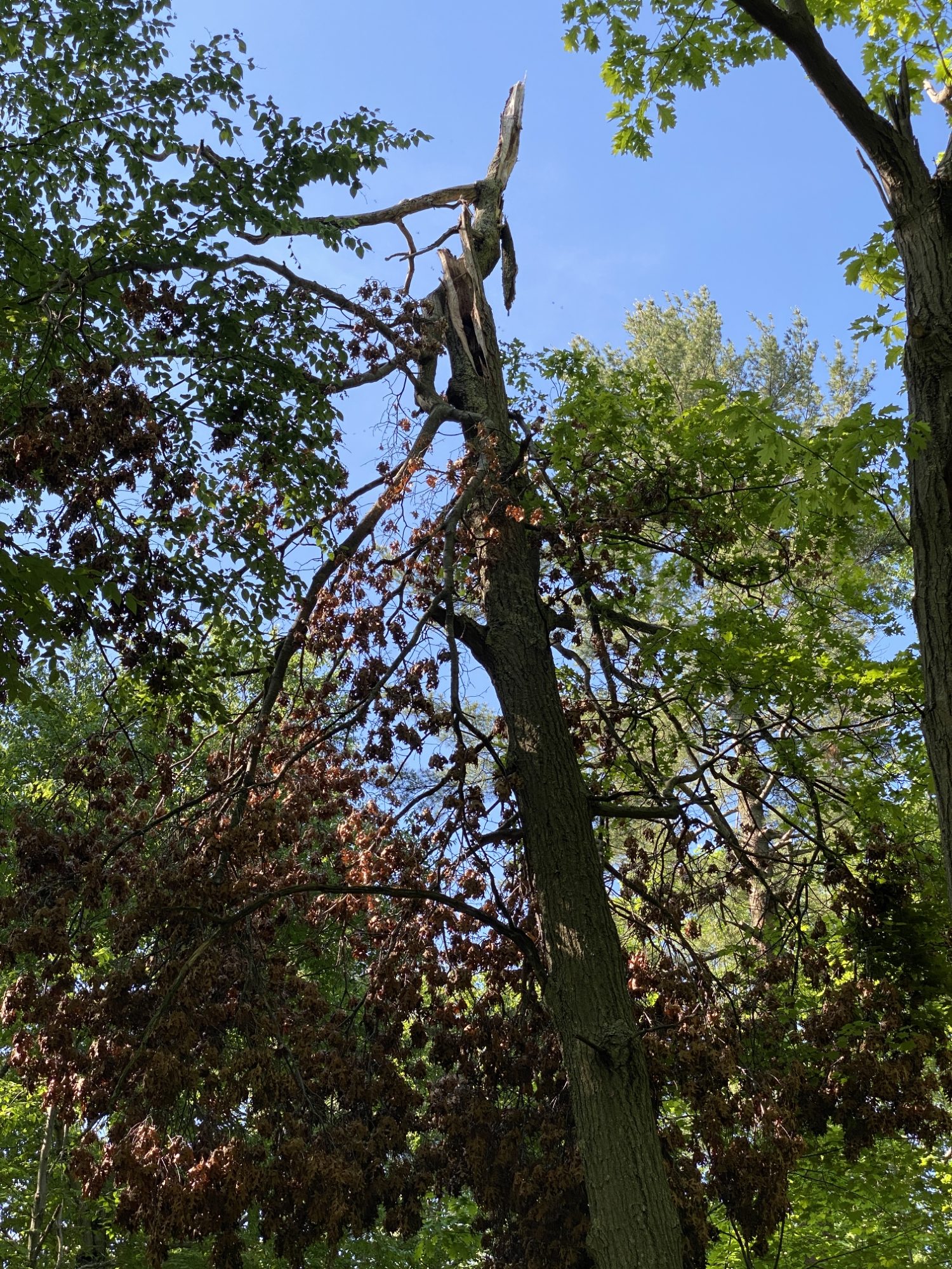
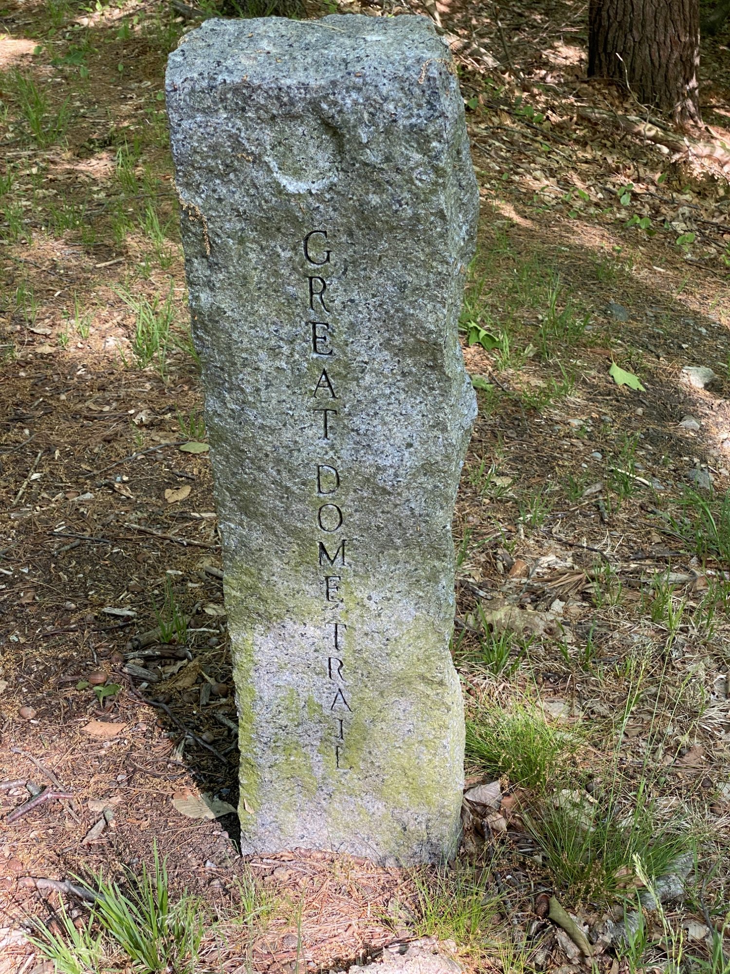
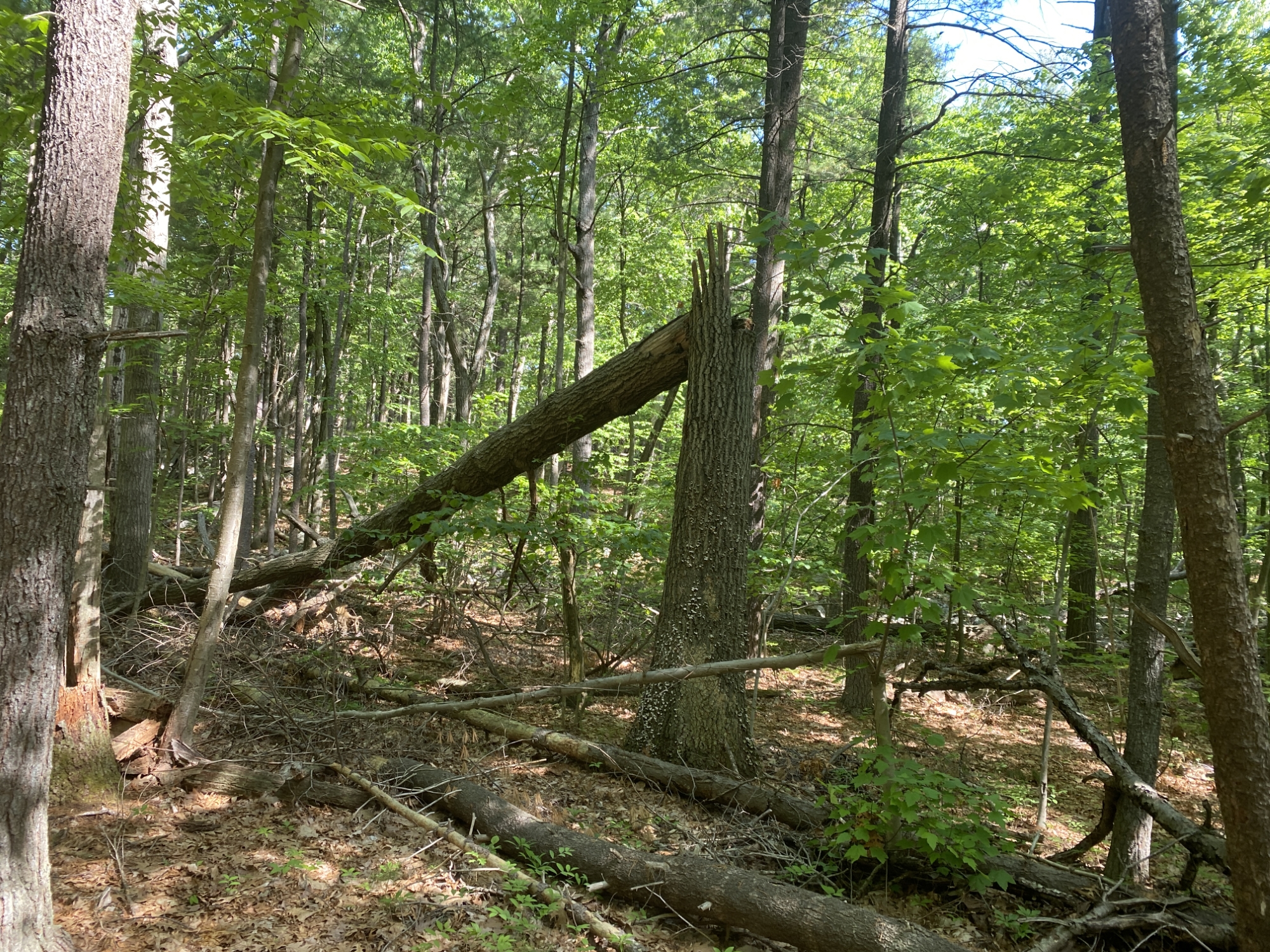
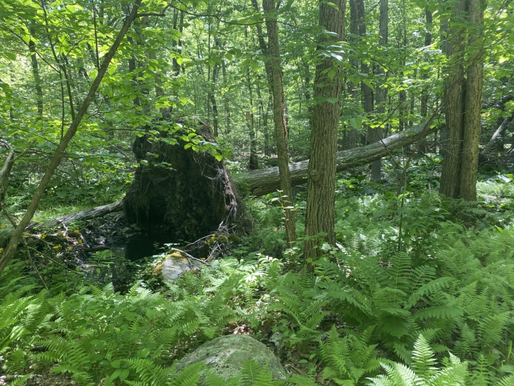
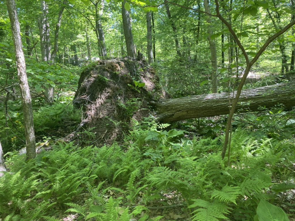
On the way to the CCC Camp, we had a few more dead-end trails to cover and took in a few interesting sites. I love seeing trees that have toppled over in dramatic fashion and came up on one that he clearly been wrent by a storm and twisted apart at the trunk. At marker #4011, we saw the sign announcing and describing the Civilian Conservation Corps Blue Hills Camp, the granite trail marker for Sawcut Notch Path, and a friendly toad. As we headed towards the trailhead at Ridgewood Road, Brenda’s sharp eye spotted a beaver swimming right towards us in the stream. I tried to get a picture but the beaver was underwater and there is too much reflection to make it out. Finally we got to the CCC Camp and poked around a bit. It’s hard to imagine this was home to hundreds of men during the depression.


At this point, the mercury was rising and Brenda and I were both feeling the effects of the ambitious 7+ mile length of the planned hike. It was practically a record-breaking temperature for the day. We finished up the loop and spokes around the CCC Camp, and headed back to Little Dome along the southern side and then the reverse of the zig-zag we walked on the way out. Made it back to the car right around 11:30am with both of us fantasizing of tall ice-filled drinks, oscillating fans, and a soft place to put up our weary feet.


Day 5 – The Futility of Planning
I tried all week to hype my family into coming with me on this hike, but to no avail. The eight mile planned path was not helping, and as the day approached the grim weather forecast ensured I would be alone for this one. While prepping for this weeks hike, I spent way too much time in AllTrails messing with routes and paths in an effort to minimize the amount of time retracing my steps. Eventually I came up with a convoluted plan that switched directions and zig-zagged and bounced around with the hopes to save me some steps. Then on Saturday morning as soon as my feet hit the trail, I forgot all about my plan and just charged forward. It wasn’t until 30 minutes later that I checked my app and realized I was totally screwing up my plan. So I stopped, reviewed the route plan, made some mental notes on how to adjust course and then carried on. I then discovered… Hills. With a capital “H”. I guess there’s a reason my app tells me the elevation change. So about half way through the hike I realized I might not make the full eight miles. Either way, I started out going down Slide Notch Path and right away came upon the aftermath of the May 1st brush fire. It was almost surreal how the East side of the path was just fine, and the West side was charred and burnt out.


This was mostly a downhill hike and then I came to Bouncing Brook Path which was flat and level and I was going strong. I took a sharp left on Curve Path, another left onto Sassamon Notch Path and then a right onto the Skyline Trail. I reached the top of Nahanton Hill and that’s when I realized that this was going to be a lot harder of a hike than I expected.


After checking out the view, catching my breath, and checking my heart rate (169 BPM!) I headed down the hill and enjoyed a fairly flat long walk around Squamaug Notch Path and then Curve Path. I kept going according to my newly revised plan and headed down to Laurel Path. When I got to marker #3111, I had to stop, reassess, and revise my plan. Again. I’m not a morning person and I got a late start and it had taken me 2.5 hours to make it 4 miles and I was hoping to cover the entire hike in less than 4 hours. If I stuck to the plan, it would be 4 miles of trails until I returned back to this point and then, I’d have one more mile, all up hill, covering 300 vertical feet to the peak of Kitchamakin Hill and then a short walk to my car. OR I could skip the 4 miles and just hike the one more mile up Kitchamakin Hill, then car, then home. Decision time.


I decided to abandon the 4 mile loop I had planned and headed up the hill to cut the hike short and then head home. Again, old man gravity took it’s tool and I was huffing and puffing like a geriatric wolf trying to get to his little pig dinner. With this image in mind, I found I was getting a little hungry so grabbed one of the several varieties of energy bars I had picked up to experiment and figure out which brand / flavor I like best. After I dug a PowerCrunch Salted Caramel bar out of my backpack, I figured I’d save time by not stopping and enjoying my PowerCrunch Salted Caramel protein as I continued to trudge up the hill. This is when I learned two new and important facts. Fact One: PowerCrunch Salted Caramel protein bars, are VERY dry. Like sandstorm dry. My mouth was filled with a cloud of wafer cookie protein dust with every bite. Fact Two: If you are huffing and puffing like a geriatric wolf, you do NOT want to fill your mouth with a cloud of wafer cookie protein dust as you will quickly inhale sed cloud and find your self coughing and choking all alone in the middle of a hiking trail while scrambling to retrieve your water bottle which is in the side pocket of the backpack still strapped to your back in an effort to re-hydrate the wafer cookie protein dust sandstorm currently raging in your mouth and windpipe. It’s moments like these where I’m grateful none of my family chose to join me, as I’m sure this little act would have induced peels of laughter from my immediate relations. With these two new facts firmly implanted in my brain, I found a handy rock to sit for a spell while I finished my snack with my water bottle readily available. With snack finished and re-hydration complete, I continued on and finally made it to the top of the hill. This is when plans changed for a fourth and final time.


When I finally crested Kitchamakin Hill, I stopped yet again to admire the view, catch my breath, and check my heart rate (173BPM!). After recovering briefly I took a left turn and headed West on the Skyline Trail for a bit and then came back to the Slide Notch Trail. This is when I changed plans for a fourth and final time. I was back in the burn zone from the brush fire and I was curious to see how far the damage extended, so rather than heading back to the car I kept heading West on the Skyline Trail for about 500 feet when I reached the West side of the burn zone. I knew the Northern edge wasn’t that far away since I walked through it earlier, but I wondered how far South the fire had spread. There was no trail here so I stopped and had a serious debate with myself. Should I satisfy my curiosity and hike off into the uncharted parts of the Blue Hills or should I just take my tired ass home and not waste my energy on hiking where it wouldn’t ‘count’ towards my 125 Mile Clube and TTBH goals? In the end, curiosity won and I spent the next 40 minutes or so stomping through the woods, tracing the edge of the burn zone. It was kind of fun to make my way through the woods, climbing over rocks and along ledges. At least it was fun until a stumbled on some loose rocks with a sharp 30 foot drop just a few feet away. I fell forward onto my hands and I slammed my right shin into some rocks. My metal water bottle was launched from backpack and landed a few feet away. I was foolishly walking with my phone in my left hand and so when I fell, it was slammed against a jagged rock with my full body weight behind it. As I got up, my right hand had some abrasions on the palm but no blood. My phone screen was completely shattered at the point of impact. Thankfully, I’ve been using a 9H glass based screen protectors for a while now. I was hoping that the damage was to just the screen protector and not the actual screen. My shin was bleeding a little but was more or less okay. If you are curious, you can see the whole fiasco play out on the video from my bodycam. After a delayed “ow” or two, I cautiously proceeded. I got a real sense of the damage from the brush fire and when I finally reached the end of the burn zone I found myself at the bottom of Kitchamakin Hill, again. So I climbed up the Slide Notch Trail one more time. I stopped for an energy bar and some water and finally made it back to the car thoroughly exhausted.


Day 4 – A tale of two hikes – Part 2
After we got back to the parking lot at the Trailside Museum, Patricia and Penny had had their fill of hiking for the day. I was given advanced notice that this was likely going to be the case so I drove in my own car earlier that morning so I could get in a few extra more miles. A bid adieu (my favorite Wordle starting word BTW) to Patricia, Penny and the Au Pairs and made the quick drive to the Park & Ride just down the road. My plan was to zig-zag around Cosmos Path, K Path, and Moulton Path, the whole time making quick back and forth trips to cover all the tiny little dead-end tributaries. The plan was to hit the 6000 block of trail markers and then make the trek to the summit of Little Blue Hill. #6900 was right there waiting for me at the trailhead as I stepped off the parking lot. I promptly took a wrong turn and went a couple of hundred feet down the wrong trail before I checked my new favorite app, Maprika, and realized I was on the wrong trail.


Once I found the right trail with the help of another roving hiker I quickly found the trail split at #6877. As I made it down my first dead-end tributary I wondered why it came to such an abrupt end. After I got over the slight hill I saw how the trail bumped into the corner of someone’s driveway so I guess I had my answer there. The two dogs in the yard of the house at the end of the driveway did a great job of letting me know that this was their backyard, literally. I double-backed after I hit the driveway and came across #6830 and then bumped into my first missing marker of the day. #6680 was nowhere to be found so I busted out the index cards and Sharpie to whip up my own. I was shortly redeemed when I found #6670 right where it belonged and took care of another quick double-back to cover the little dead-end.


The day was getting warmer and the munchies hit so I dipped into the backpack to taste test some protein bars I picked up yesterday. I had literally had a dream where I was eating one of the old style Protein Plus Power Bars I hadn’t eaten in years. I was hoping to find something similar. I can happily report that the Quest Birthday Cake bars hit the spot. I also tried the French Vanilla Creme Powercrunch bars and I liked it but it was more cookie-like and didn’t give that solid meal-replacement level of satisfaction that the Quest did. I was disappointed yet again when I couldn’t find #6650 and so the index card and Sharpie were busted out yet again. Another double-back along a dead-end and I kept going down Cosmos Path. The sun was almost directly over head and it was having that gorgeous effect of the sun streaming down through the pines. I stopped for a bit and played around with the iPhone camera and keeping the sun just out of frame to try and get that look in a picture. It came out pretty good, but I keep wondering if I should try and revive one of our old digital cameras to carry along to grab pics where I have more control and a zoom lens. TBD on that one. Then it got weird, well weird in an OCD completionist kind of way. I found the actual #6650 trail marker but in a completely different spot then where it’s supposed to be.


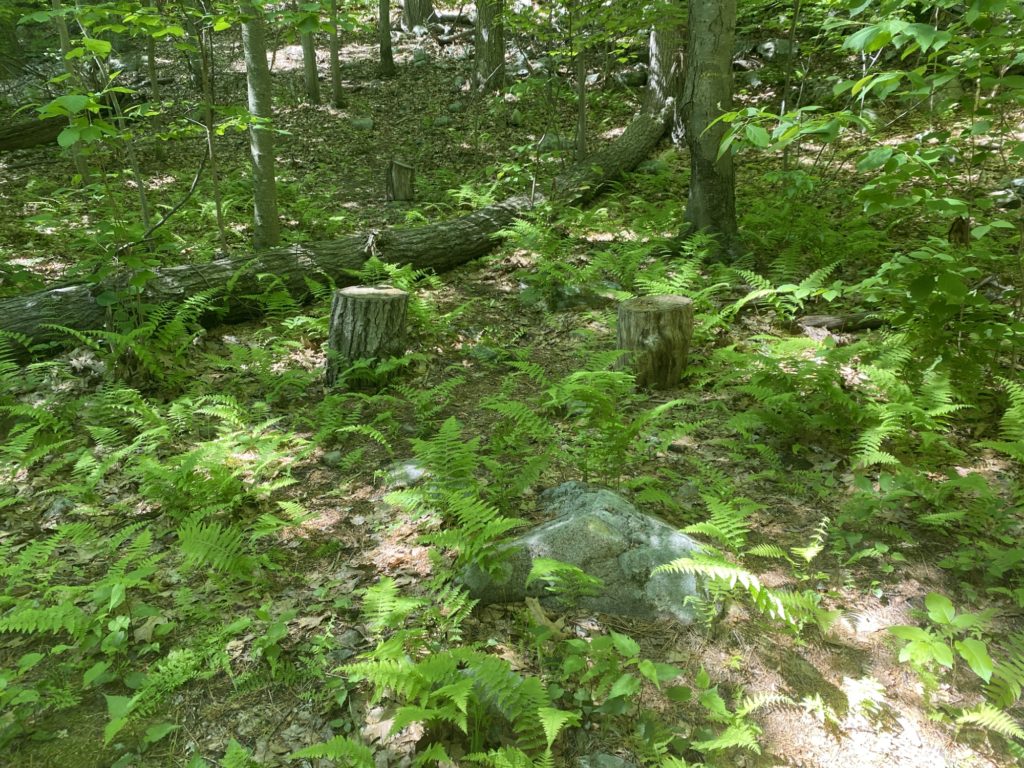
Once I got over my consternation I was rewarded with #6700 and #6850 being present and accounted for and properly located. Yet another dead-end double-back at #6850 brought me across the street from the giant glass and steel office building we saw from the summit of Great Blue Hill. It was a straight shoot up the K Path right past #6800 and back to #6670. I was putting on the gas as it was getting late (and I was getting tired) so not so many pictures here except for one very cool weathered exposed stump.


I was regretting my decision to tackle Little Blue at the end of the hike as I was getting pretty beat but I pushed through and am glad I did. I had heard from the same hiker who got me on the right path at the beginning that there was a stone bench along the way to the summit and sure enough it was right there. But it was more than just a stone bench, it was memorial to Augustus Hemenway. His wife, Harriet Hemenway was one of the founders of the Massachusetts Audubon Society. I of course did not know any of this during the hike, but the internet is a great thing. I stopped to take a load off and enjoy the view. Thanks for the break Auggie!


I found #6880 without issue, but the side path that leads to the summit is not very well marked or laid out, so I busted out Maprika again to guide me along. The summit was soaked in sun and the summit rock had a tiny little tree poking right out of the middle. Happy to have finally made the peak I was relieved, but for only a brief moment, when I realized I had to loop back up and around to complete all the trails. So stopping for just a few more trail marker selfies, #6896 and #6891, and some pics of interesting tree hollows that in the parallel universe of Hyrule were perfect hiding places for Koroks; I made it back to the car exhausted but happy.


Day 3 – Fowl Meadow, Swamp Trail, Orchard Trail, Green Hill Path, and Field Path
Went for my longest hike so far and covered almost 8 miles (or 7.5 depending on which app you trust). Started out at the Burma Trail Parking lot with Patricia and Wesley. No chance of getting lost on this one, straight as an arrow path from there until you bump into I-93 as it goes through Canton. Today was a great day for Intersection Markers. Not only did we find all the ones listed on the map, we found a bonus marker that is NOT on the printed map. We turned around when we hit the highway and veered West and followed the trail along the Neponset River.


The weather was very cooperative for the day. We were very thankful that there hadn’t been much rain the past few days as I expected severe amounts of muddy trails given the path goes right through a marsh, but everything was dry and easily passable. Some signs of wildlife throughout this part of the trail. Came acorss one part where it looked like a coyote shedded their entire winter coat in one spot. Saw a few ducks, heard tons of different bird songs (might have to start throwing my bird book and some binoculars in my pack), and signs of spring were everywhere. Found some seedlings taking root in a hollow of a still living tree. After following the Neponset River, we turned right at the Fowl Meadow Path and that when we came across #6009 with is NOT on the map. There was a stub of a trail that headed South from that marker on the map, but it went much farther into the woods than that. We turned around and double-backed after hitting a clearing with the remants of a shelter. When we got back to the #6005 marker, Wesley was getting tired and felt a little off, so Patricia offered to head back to the car with him and drive him home while I finished off my planned hike into the swamp and the rest of the trails in this area.


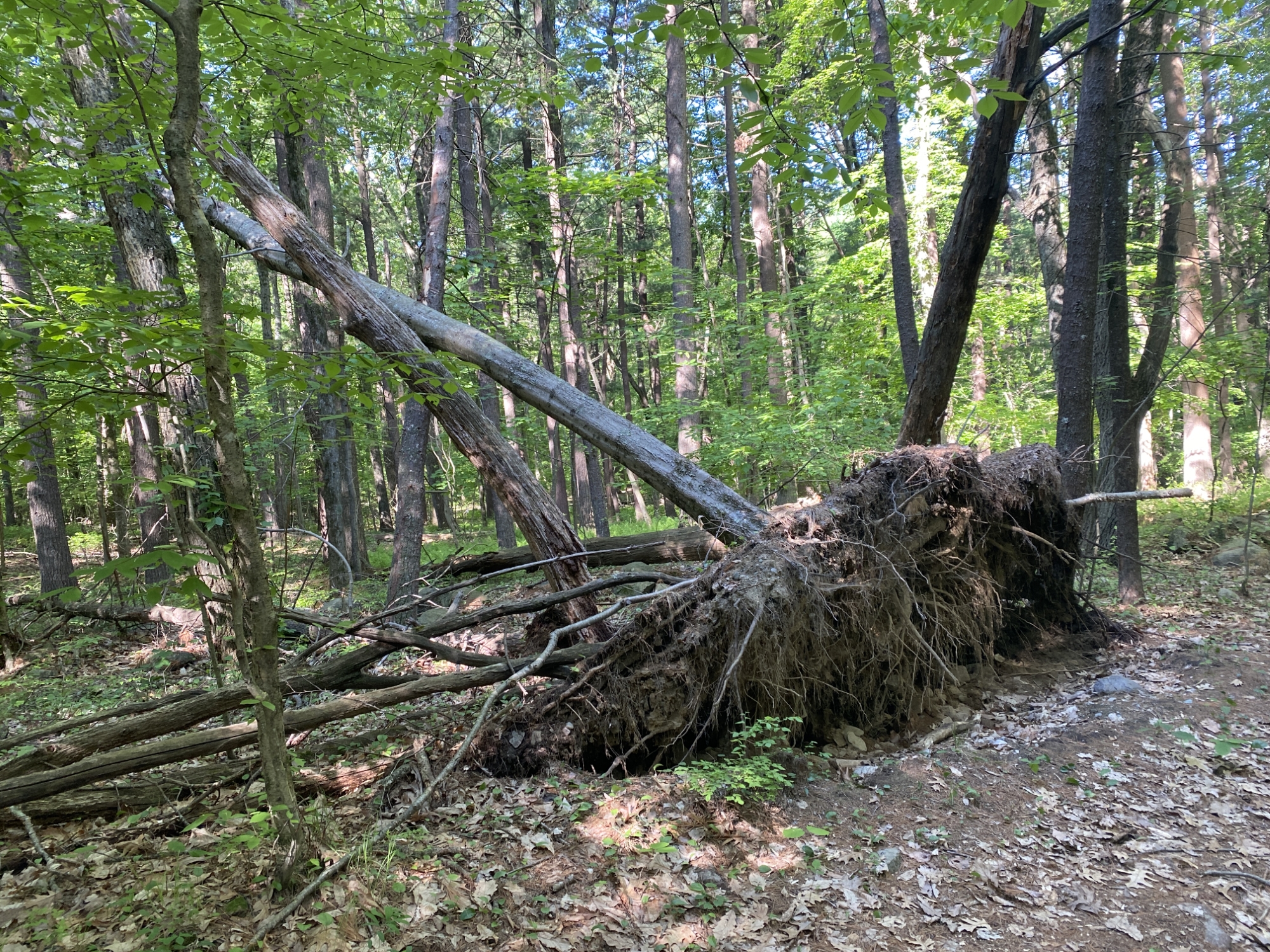
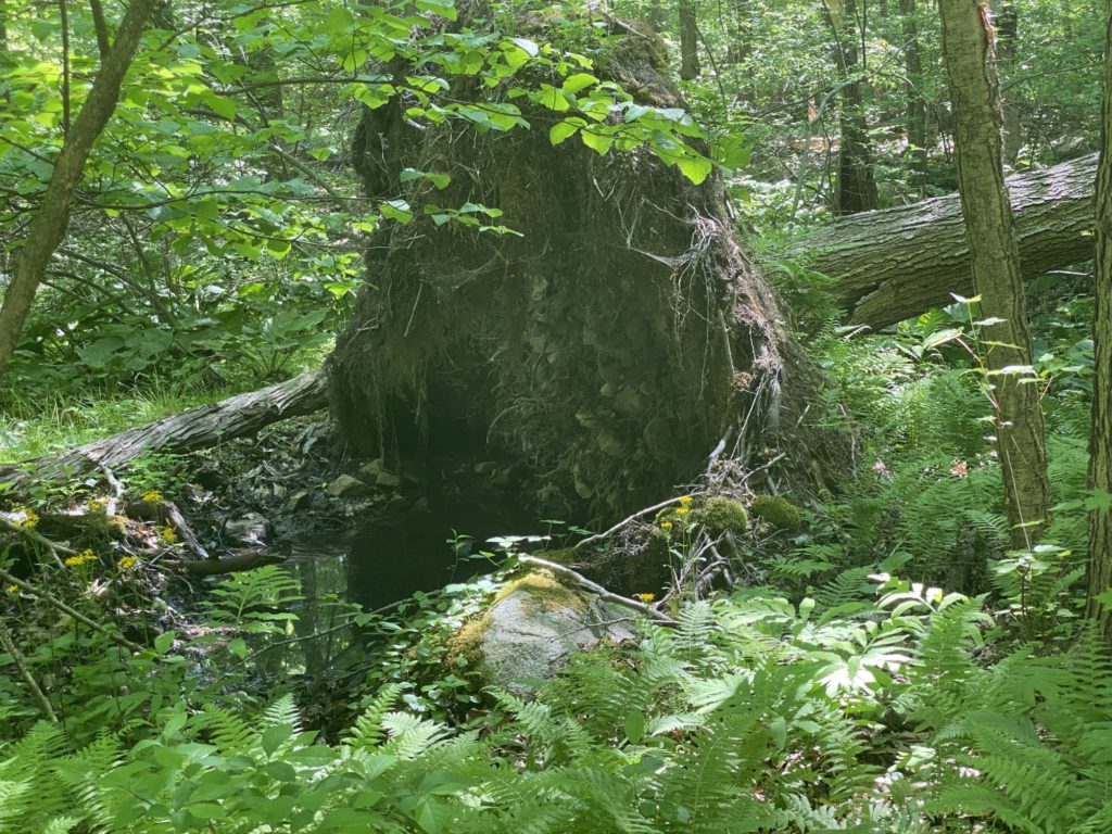
With Wesley and Patricia headed North on Burma Road, I continued on my own and quickly discovered that the Swamp Trail was aptly named. The path ran through the middle of the swamp and is mere inches above the water level and in some spots, below it. However, once I made it through, I was rewarded with some beautiful hiking paths through some pine groves. Also enjoyed a continued bounty of Intersection Markers; #6106, #6105, #6104, #6103, #6102, and #6101 were all right were they belonged and were easy to spot. Lets hear it for small victories. Came across some truly amazing sights. Saw a huge pine tree that had fallen over but took a huge chunk of it’s root structure and entangled earth with it. The creek near the toppled tree marked the end of the offical BH trail according to the map. Rather than double-back and re-trace some steps, I chose to beat a path through some unblazed woods to cut through the back of one tributary to pickup the trail at the terminus of another nearby tributary. Continued South along the Green Hill Path, veered left to the Orchard Trail, and kept going until I came to the trail head at #6101. Did a U-turn to head North with the intent of picking up the Field Path, looping it, and then re-tracing back to complete the trail and this is where things got a little weird. The path on the official BH map does NOT match up with the AllTrails paths and for good reason. After checking Maprika, and Google Maps to make sure I was in the right spot, there was absolutely no path where the BH map said their should be one. I ventured in a bit thinking I’d run into it, but that proved quite pointless as the brush soon blocked me completely. So I waded out of the underbrush, continued North and when I got to marker #6103 I did find the Northern start of the Field Path. So I followed it and sure enough, it tracked along where the All Trails map showed a path and reconnected at marker #6101. With all markers hit, I started my way back to the parking lot. Along the way I saw this amazing natural bowl in the middle of a pine grove that 8-year-old me would have loved as their own personal hideaway from the world. At one point I noticed the trail became very soft and quiet and looked down to see the whole trail was covered in ant hills, but oddly, did not see any actual ants. Also saw a huge field of thorns which was probably the savior of all local bunnies who were high-tailing it away from a hungry coyote. Finally made it back to the parking lot where my sweet wife promptly picked my tired ass up and drove me home.


Day 2 – Quarry and St. Moritz Ponds
With a busy Easter Weekend planned, I knew I was going to have to wake up early Saturday morning if I was going to get some hiking time in. I managed to drag my butt out of bed a little after 7am. I am not an early morning person, so for me this is quite the accomplishment. Wesley reconsidered his prior nights commitment to join me and chose to sleep in despite the enticement of a Dunkin’ run. So it was a solo hike for me today. I think this actually helped though. Without a junior hiker slowing me down, I was able to get almost 5 miles of hiking in. I was much more successful this weekend in my quest to selfie with all the trail markers. Managed to find four of them (#4220, #4223, #4234, #4235). I brought along notecards and a Sharpie and rather than accept defeat, I just DIY’d my own signage at intersections with missing tags.


The hike itself was great. I’m really enjoying exploring the new trails. The kids had always enjoyed climbing around the rocks at the Quarry, but there are a whole bunch of other interesting rock walls, piles, and stairs worth exploring South of Ricciuti Drive that we never saw before. Early in the hike I came upon a pretty steep rock wall. I knew I’d regret it if I didn’t take the time to scramble up there to check the view so of course I took the quick detour. As I neared the top I heard the whoosh of a large pair of wings taking flight and saw an eagle or hawk (not an ornithologist) flying out over the new expansive view. Soon, one eagle became two, then three, then six. After marveling at them and the view for a bit I gingerly moved on as I suspected I was near a nest and didn’t feel like getting swooped upon by the flock.


Eventually I bumped into Furnace Brook Parkway and followed the road until I could pickup the trail again near St. Moritz Ponds. Then I spent about an hour zig-zagging up and down and back and forth to make sure I covered all the marked trails. Some of these were huge road sized paths and others were barely there footpaths that I would have walked right past if they weren’t marked on the map. Ran into several floofs in this area (most off-leash, but I try not to judge). Bumped into a DCR crew clearing out some over grown brush near the Shea Memorial Rink entrance and signage. While standing there looking slightly clueless and scanning for marker #4234, one of the crew asked if I needed help. I was all set, but I politely asked if they knew if there was anyone who I could let know about the missing trail markers. He said I should reach out to Tom Bender at their headquarters near the State Troopers barracks. These trails were mostly flat and easy walking with one exception of a cross trail with a very steep incline but otherwise nothing really taxing. I had to be back home by 11am to shower and head out to a movie with family and friends so I headed North following the path along the west side of the pond. Just above a firepit area someone had made a very sweet memorial for a loved one complete with solar light to keep it lit at night. Don’t know who you are WRB, but clearly CAB loved you very much and misses you. I kept going until I hit Furnace Brook Parkway and followed it farther up to Bunker Hill Lane which dead-ended right into #4235. On the road I bumped into a wonderful man whose name I did not catch walking his dog Bella. He told me how Bella had come to him from his brother who had to move into a senior home which didn’t allow the pets so he took him on. He said he planned on walking Bella in the woods as long as he could handle the stairs. I didn’t quite know what he was talking about, but I let it go. Sure enough, a little farther up the trail is a granite staircase laid into the hill amongst the stones. Time was running short but I wanted to wrap up this section of the map so I chose to chase down what was on the map as a dead end trail that ran West from #4236 figuring I’d just double-back. The trail ran right through some wide open fields surrounded by a lot of rock walls and piles. Once I hit the end, I spied a part of the rocky hill that didn’t look too bad so it was easy enough to just cut through to the main trail that runs parallel to Ricciuti Drive. Made it back to my car while noting the now full parking lot and enjoyed the rest of my Dunks iced coffee on the way home.


Day 1 – Wandering around the Quarry
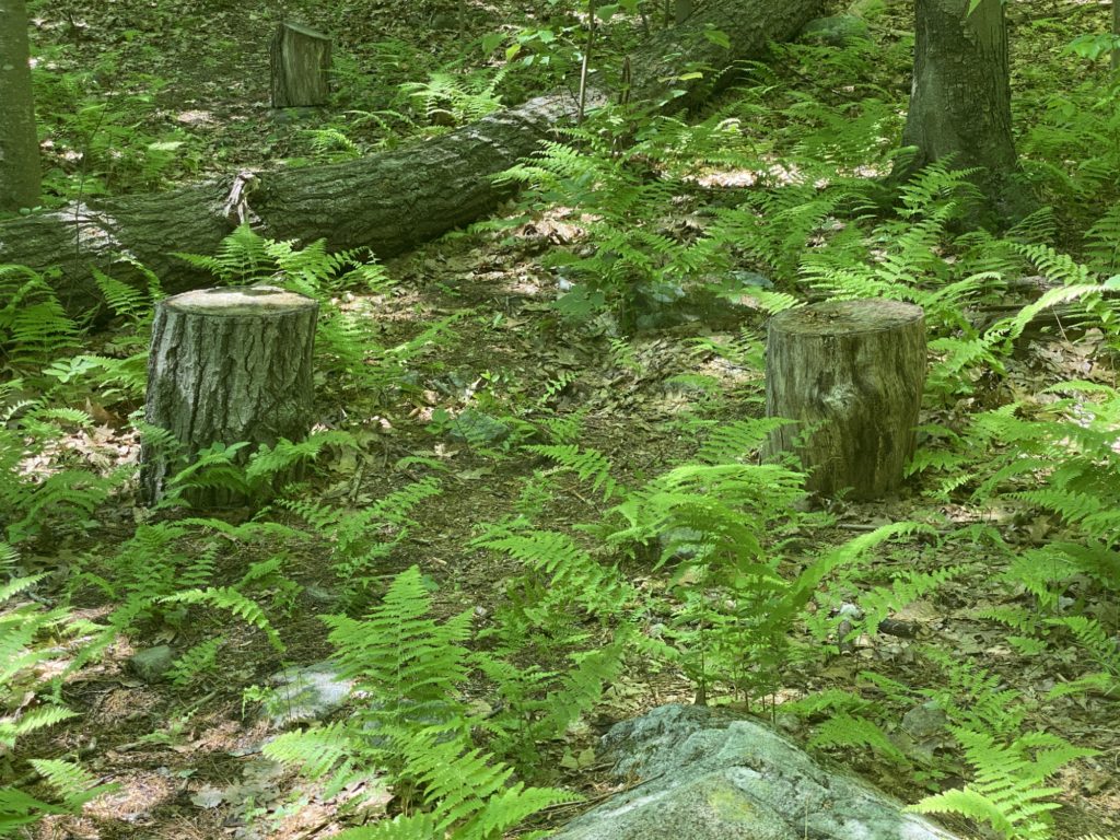
So Day 1 of this adventure went pretty well. Wesley wasn’t feeling well so Patricia stayed home with him while Penny and I hit the trails. We started with a quick side trip to the Trailside Museum to pick up some trail maps. I checked in with the Ranger at the desk to see if they had any advice on how to tackle all the trails in one season. She had the great advice of focusing on the trails along the outskirts of the park early in the season because a lot of them get overgrown by the time Summer is in full swing. She specifically pointed out the Fowl Meadow area as one that gets overgrown quickly. She also let me know about the Friends of Blue Hills and their 125 Mile patch. We also checked out the new Otter enclosure and a very sleepy Otter getting some sun time. Jumped back into the car and headed to Quincy Quarry which we’ve hiked a whole bunch of times. The place was packed with climbers and a crew had even setup a tightrope walk across the quarry. We also encountered our first missing trail marker. Number 4229 was no where to be found. In fact the trails weren’t very easy to find either. I just started using All Trails to track our progress and if you click through and look at the map you can see how we did quite a bit of wandering and double backing in an attempt to hike the actual trails. Things went smoother when we crossed the road to go along some of hiking trails we’ve never been to before. We actually found trail marker 4236, but 4238 was also disappointingly missing. I think I’m gonna grab a small white board so we can make up our own marker signs when we can’t find them on the trail. Penny was happy that we relocated the remnants of the car wreckage they remembered from a hike years ago. We also ran into the My Pillow Guy / Conspiracy Theorist / Underqualified Presidential Advisor / Mike Lindell… well at least his cardboard cutout, which was kinda weird. Then Penny came across a stump throne and started striking some royalty style poses. The ruling class mentality must have gone to their head because they were getting pooped out after just over the 2 mile mark so we wrapped up the loop we were on and headed back to the car. They are gonna need to work on their stamina if they plan on keeping up with me all summer.


