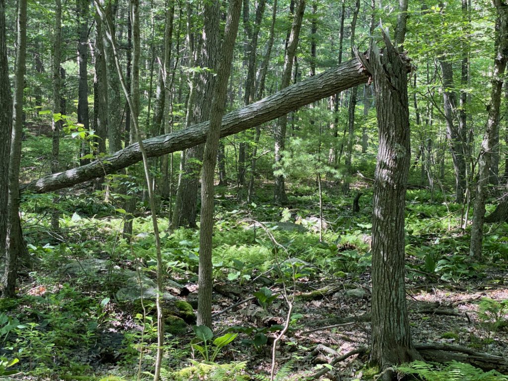
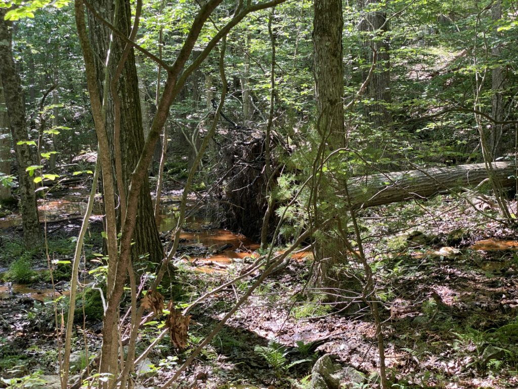
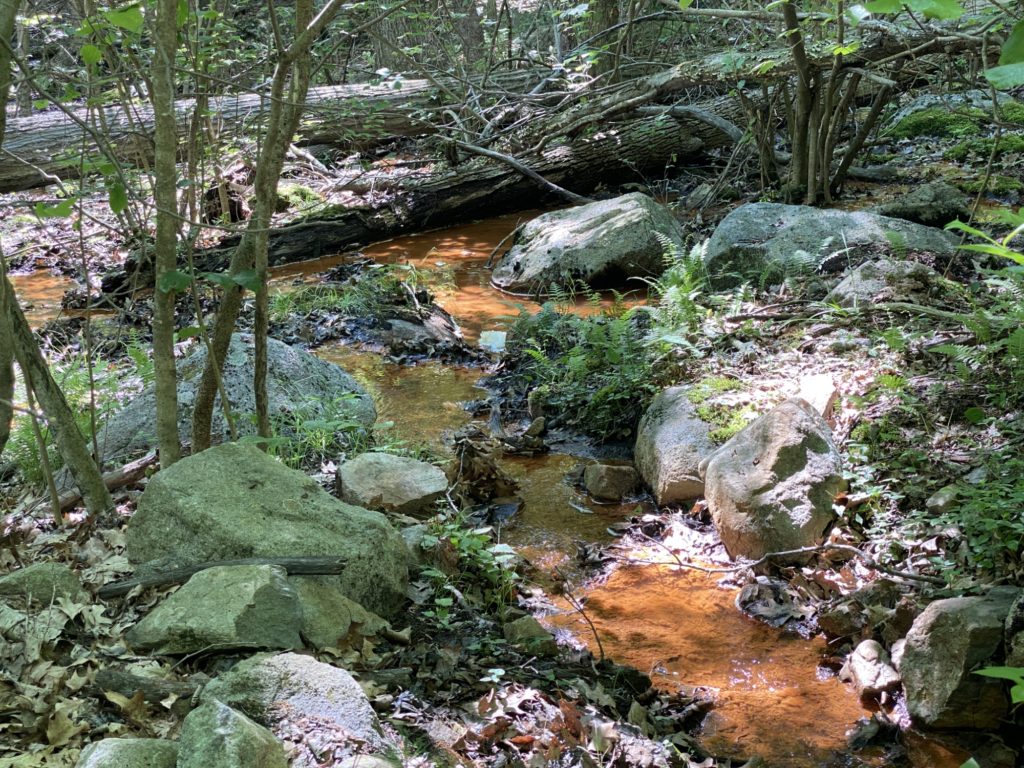
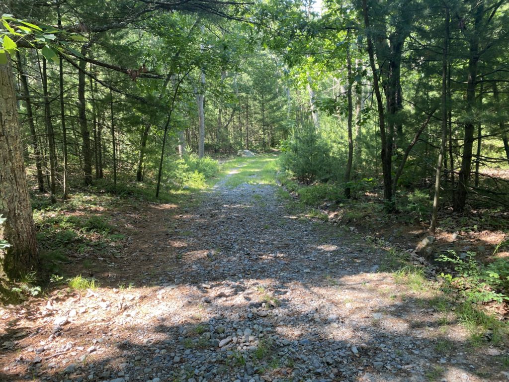
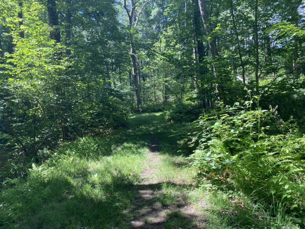
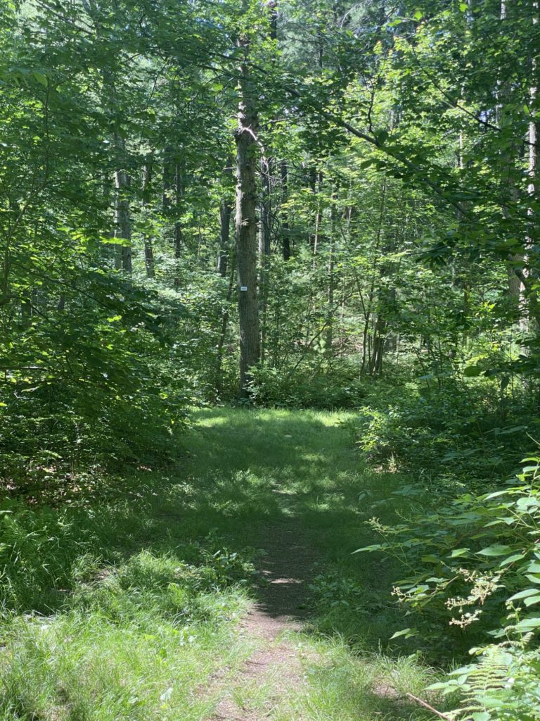
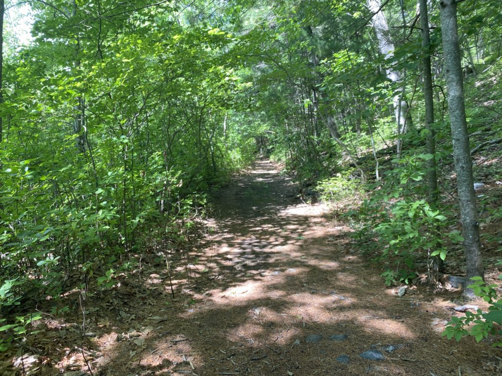
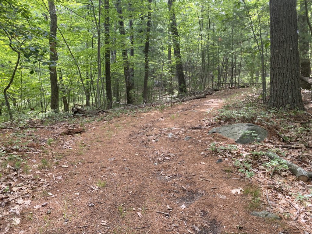
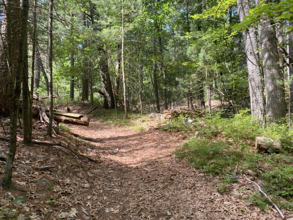
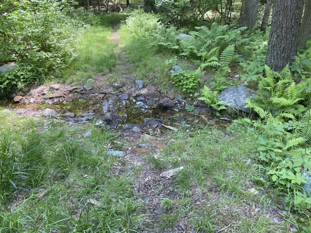
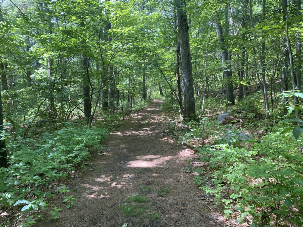
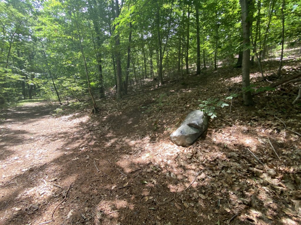
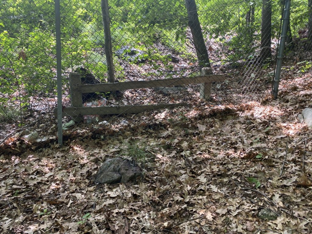
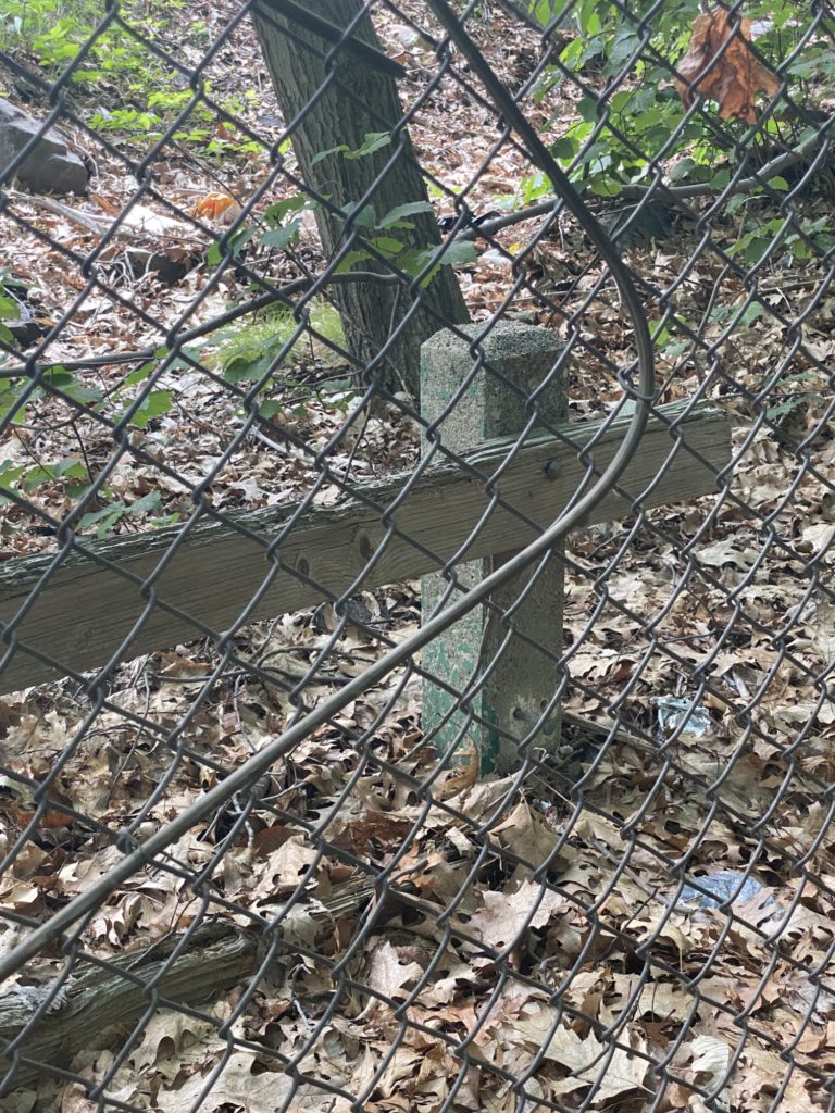
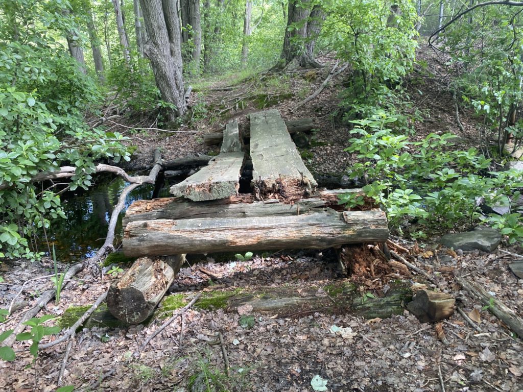
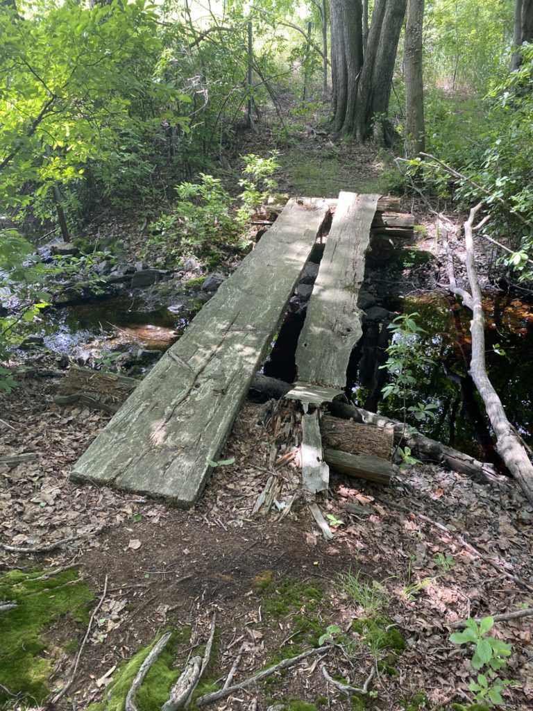
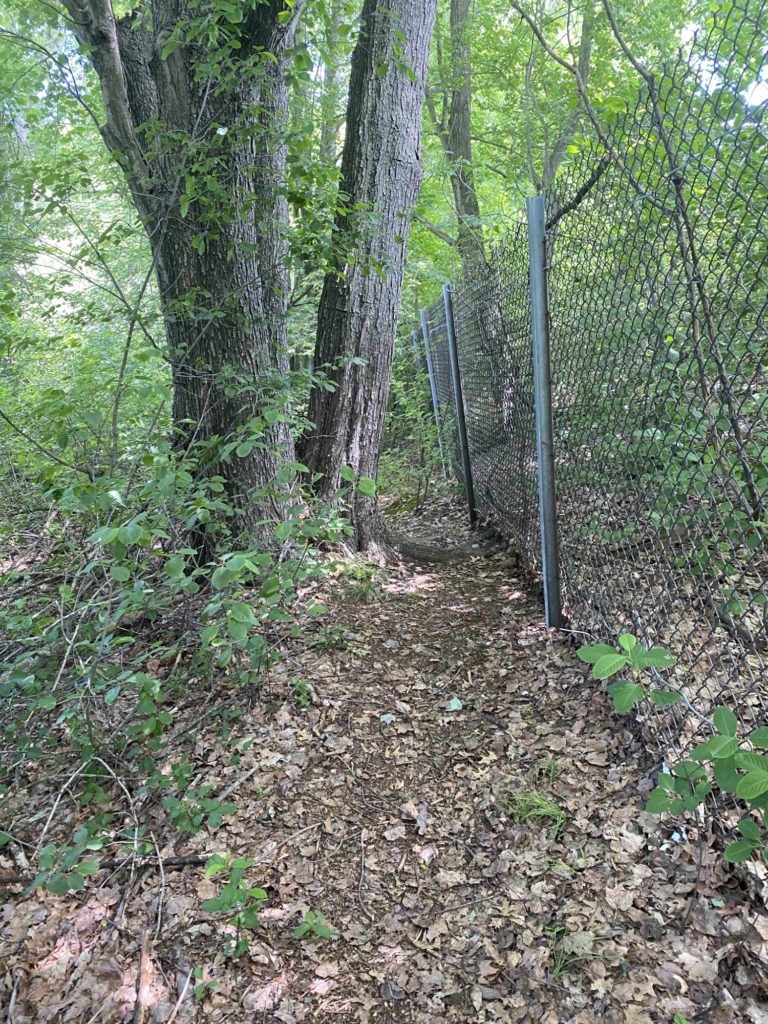
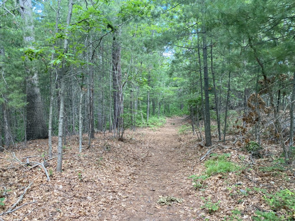
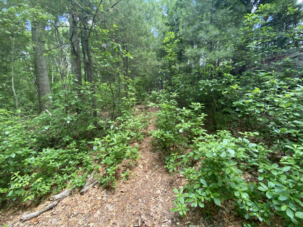
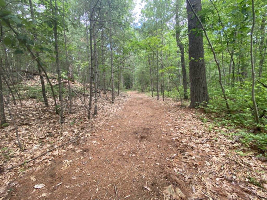
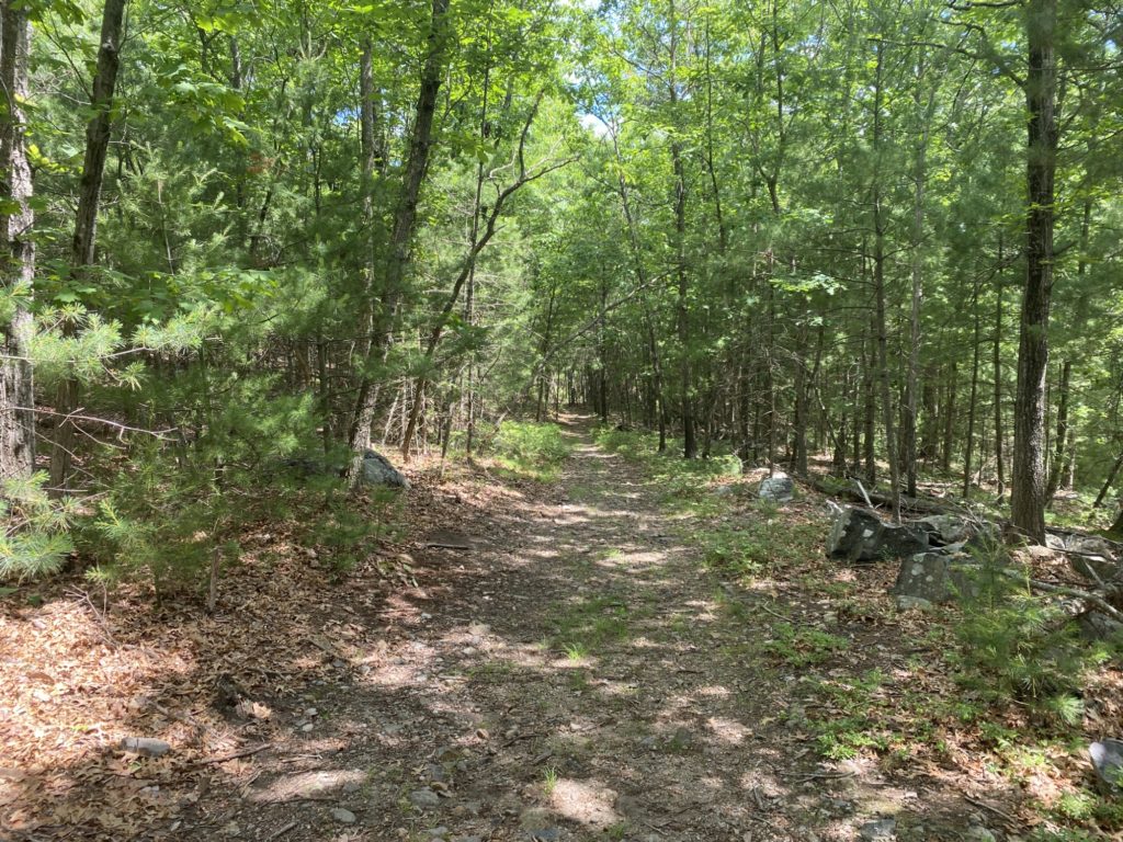
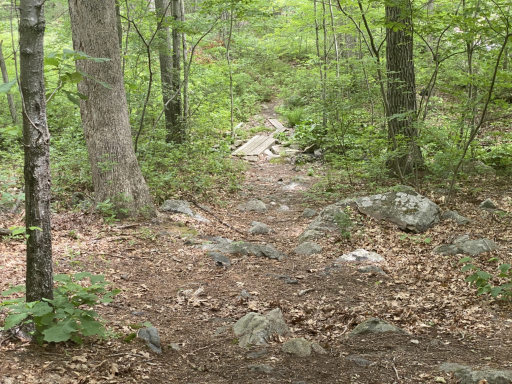
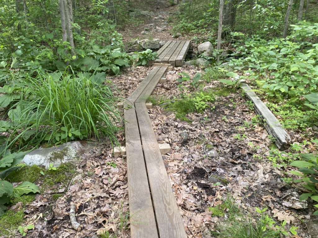
Blogging is lots of work and I’m behind on my posts so this description will be short and sweet, comparatively. For the first time in this Challenge, I parked in an unofficial, non-approved, non-DCR spot. It was both thrilling and stressful. There was a half-leased / half-empty industrial building on Wood Road in Quincy. The sign there said parking was for patron’s only but the deli shop that used to be there was shut down so I figured no harm no foul. I scribbled out a quick note an index card and left it on the dash pleading my case. “Hiking in Blue Hills. Please don’t tow.” Despite my written plea, I spent much of the hike wondering if my car would be there when I returned. This was a solo hike and the weather promised to be in the mid-80’s. I learned my lesson and front-loaded the majority of the elevation at the beginning. There was lots of back and froth on several tributary trails so I probably only knocked off 4 miles of actual trails. The biggest section here was I circled the Great Cedar Swamp via the Laurel Path and the Hemlock Path. On the map there is a tiny little connecting path between these two trails that parallels I-93 and this was probably the worst trail I’ve been on so far. The trail was barely there and what was there was sandwiched between swampland and a chain link fence. This is also the lowest elevation point of the Great Cedar Swamp so the bugs were thick in the air. Despite being covered in DEET, they were still buzzing around me. They DEET kept them from actually stinging and biting, but they were still a nuisance as they flew in my eyes, nose, and ears. I found that keeping a swift pace would let me actually outrun the bugs and keep them from dive bombing me. At one point, the trail went right through a huge patch of marsh mud but luckily someone had cut through the chain link fence here allowing me to skirt around the bog. At another point, there were remnants of what was at one point a sturdy footbridge, but as of today, it was a collapsing deathtrap of rotting wood and exposed spikes. Just like I learned my lesson with elevation, I am now paying closer attention to the little symbols for marsh and swamp land on the trail map. Once I connected with the south end of Hemlock Path, conditions were greatly improved. It was an easy hike back to my car which thankfully had not been towed away.



Leave a Reply