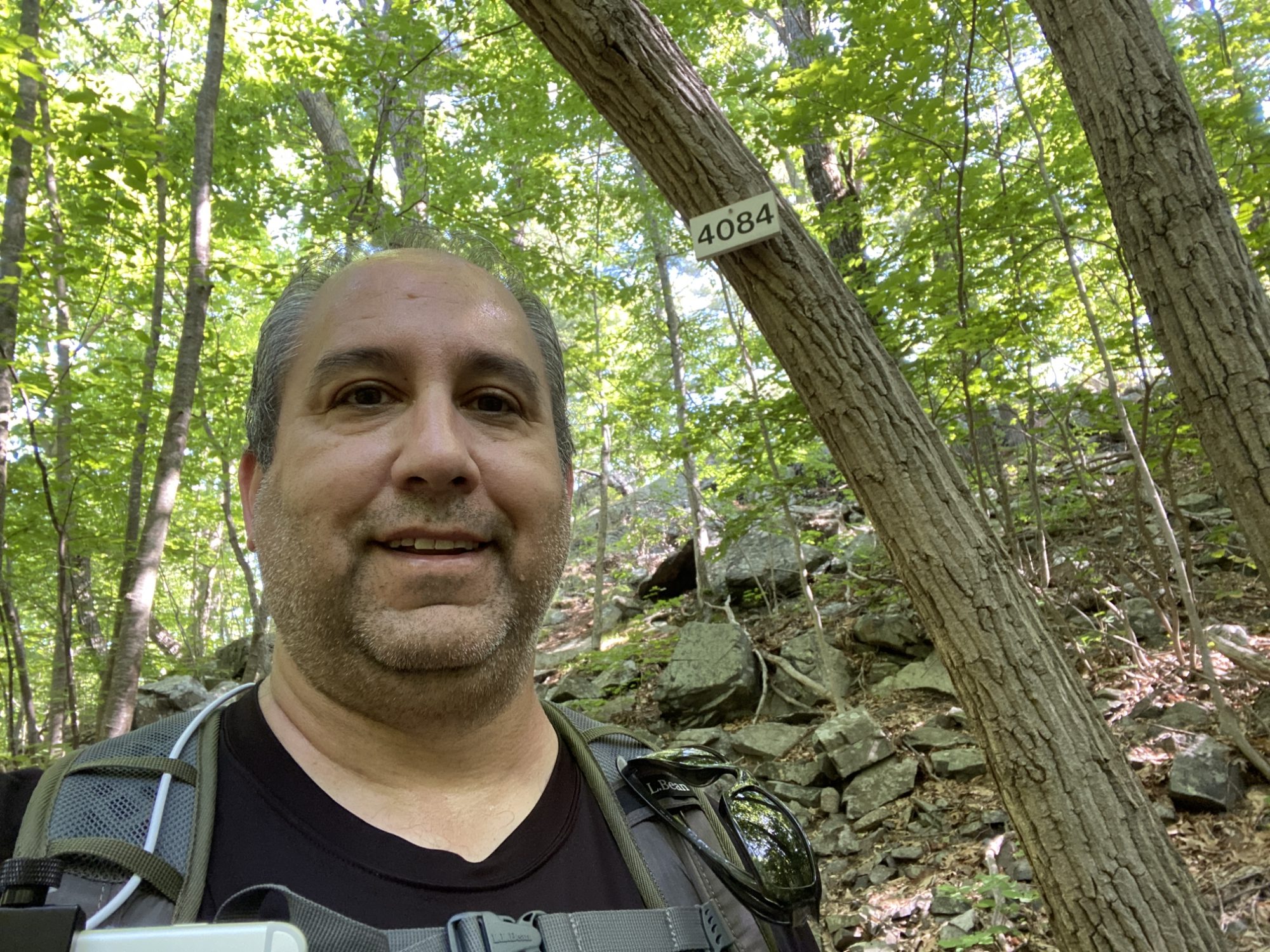
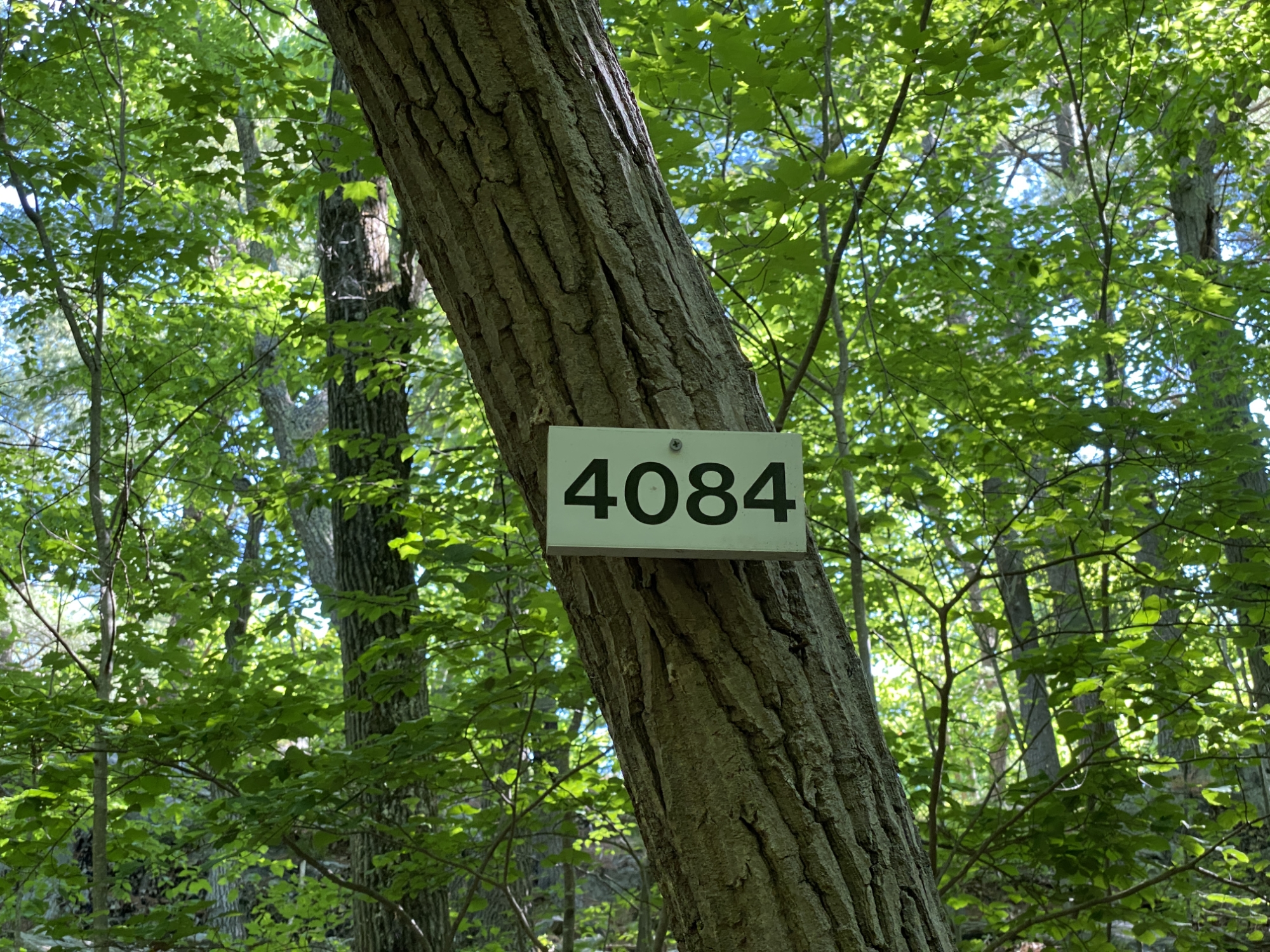
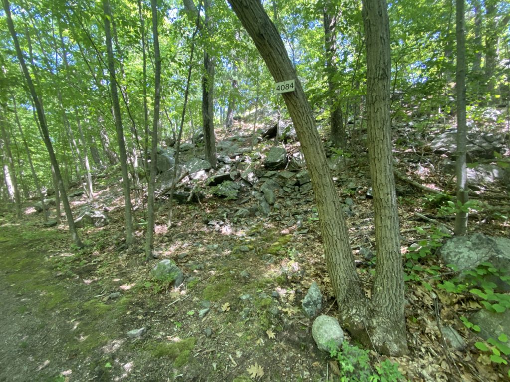
It seems like I’m destined to spend FOREVER covering all the trails in the 4000 area. The plan for this day was to wrap up the section and then move on but sadly that did not happen for reasons which I will get to later. Otherwise it was a perfect day of hiking. The weather was sunny and warm with zero chance of rain. I got out early as planned hoping to beat the worst of the noon heat and parked at the small dirt lot at Blue Hills Reservoir. As soon as I got out of the car I debating taking the roughly 1/2 mile circle around the res, but figured I’d just loop it when I got back out of the woods. There were a few sections of the plan where I knew I’d have to cover the same trail twice, but I’m slowly accepting that duplicative efforts are really unavoidable. I headed up Chickatawbut to cover the East tine of the fork at the bottom of Pasture Run having skipped it last time, followed it up to #4048, then back down via Ridge Path. Then following the path that parallels Chickatawbut on the North side, I headed halfway up Brook Path until #4084.
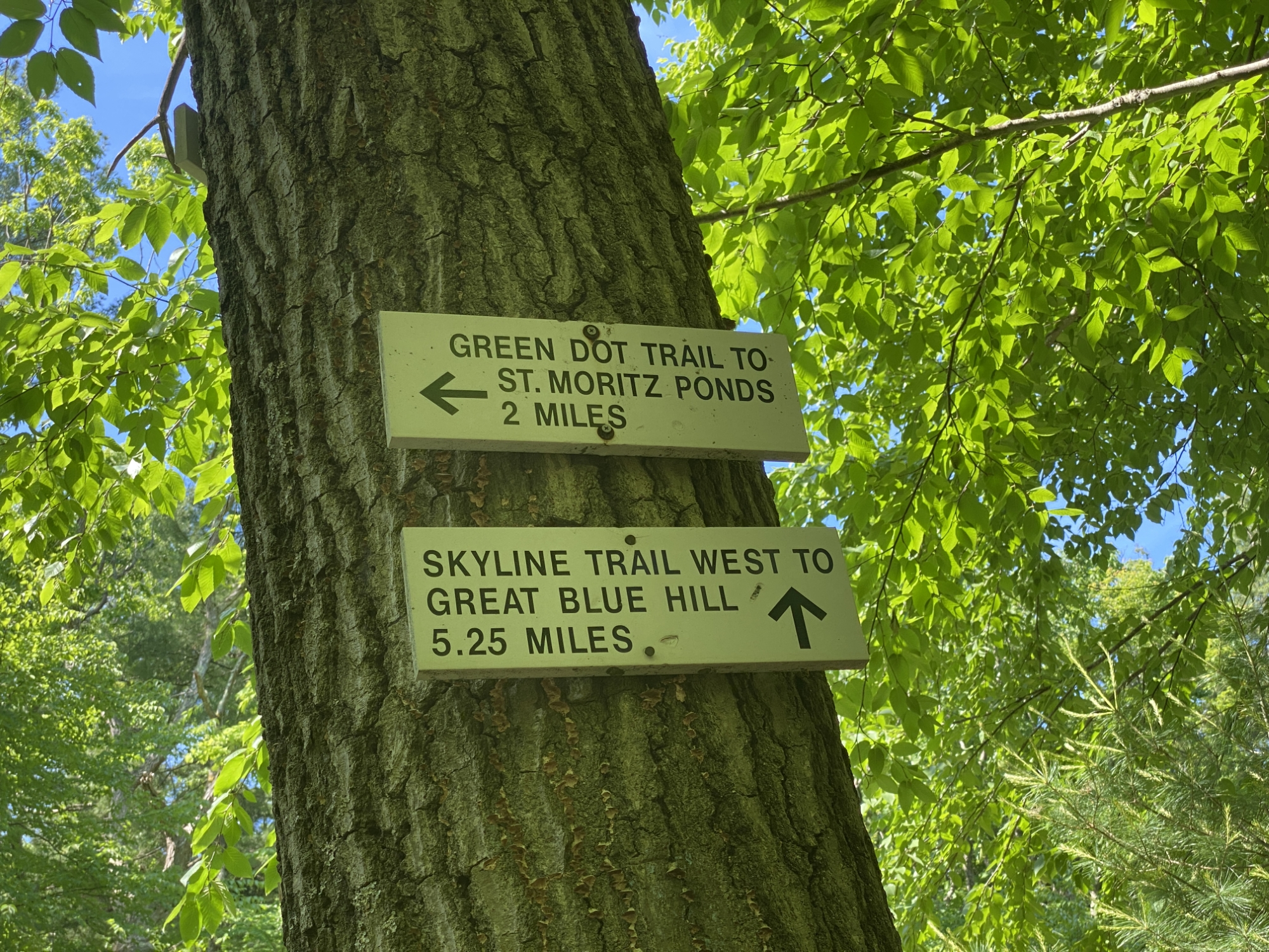
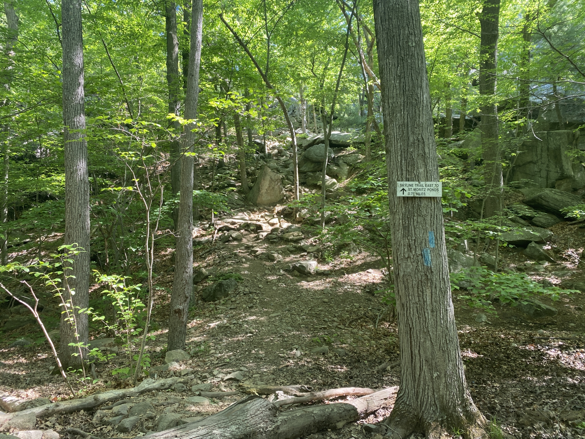
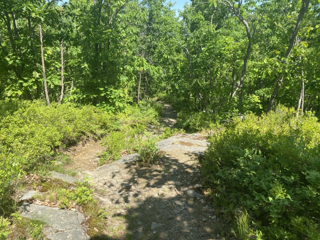
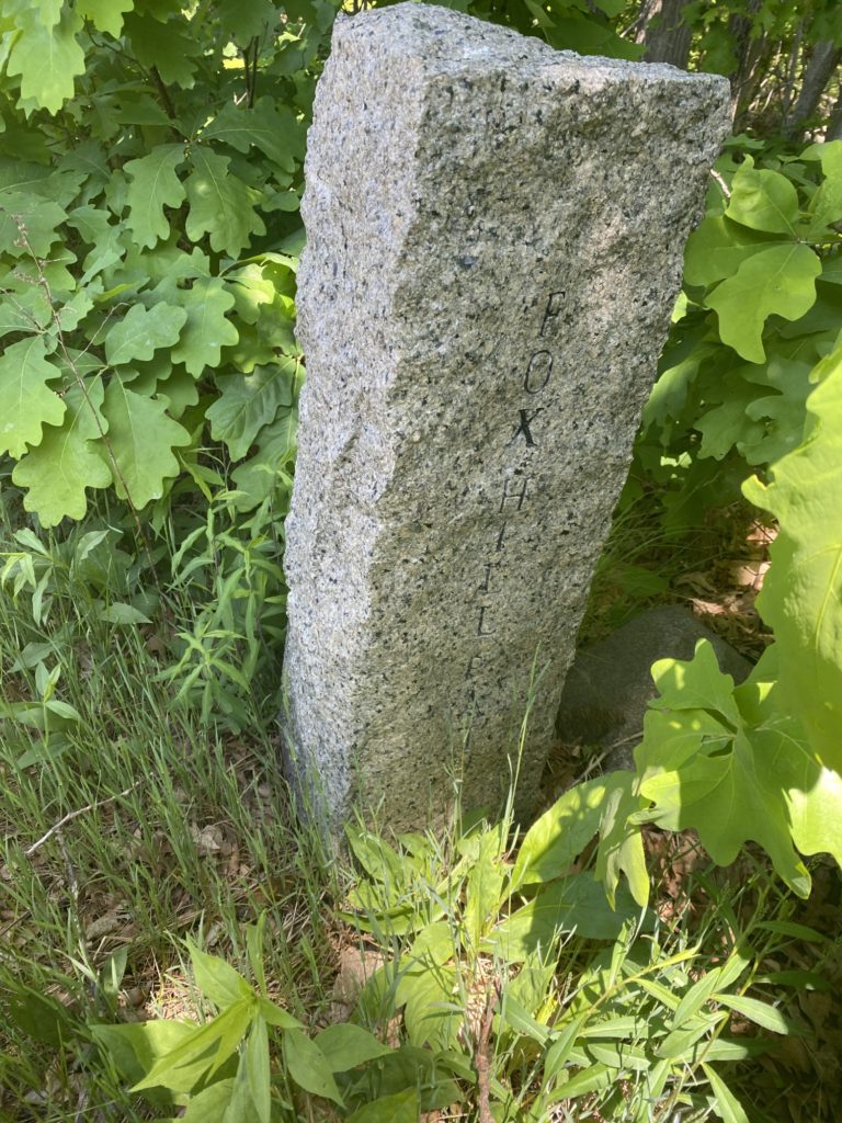
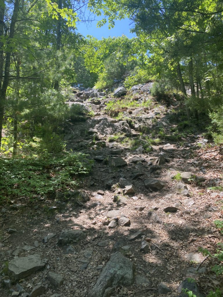
My route was supposed to take me up a small connecting trail to Fox Hill Path. Only problem was I could not find the path. I stomped around a bit looking for any signs of a worn section in the dirt or blazes or anything. I started to madly consult my iPhone GPS on AllTrails and Maprika, but my geek brain knows that the iPhone GPS has an average margin of error of 9.9m. I returned to the #4084 intersection marker and with a fresh set of eyes when I finally saw the rocky trail that clearly lead up to Fox Hill Path. I huffed and puffed my way up the hill (ELEVATION!) and encountered my first missing trail marker in a long time. #4096 was nowhere to be found so the Sharpie and index cards were employed for a DIY sign. I headed right back down the hill I had just climbed via Fox Hill Path and turned onto Indian Camp Path, where I followed it all the way to the Skyline Trail at #4155. This is when I officially gave up on completing the 4000’s for the day. The plan had me continuing all the way past Wampatuck Rd, continuing to the Pipe Line to the bottom of Murphy Path at #4202 then doubling back; roughly a mile of hiking. Nope. I was irritated at not finding the path at #4084 and then further irritated at not finding the sign for #4096 and the temps had already hit 80+ degrees so I called an audible and decided to skip the extra mile of hiking. It’d be easy enough to make it up later.
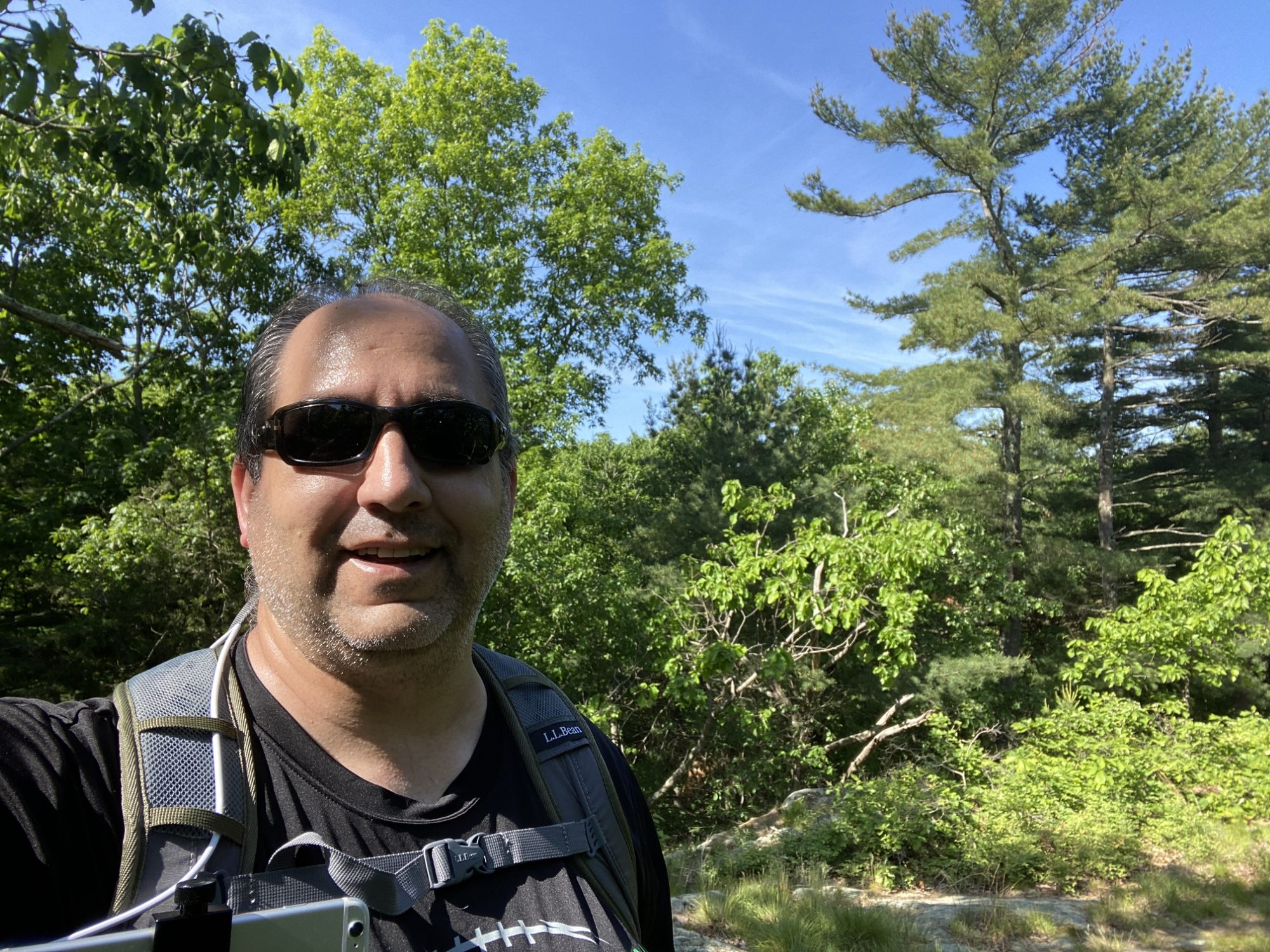
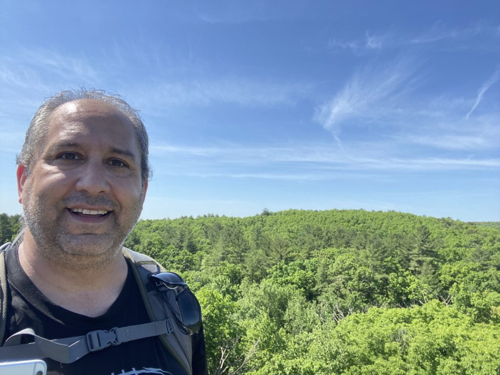
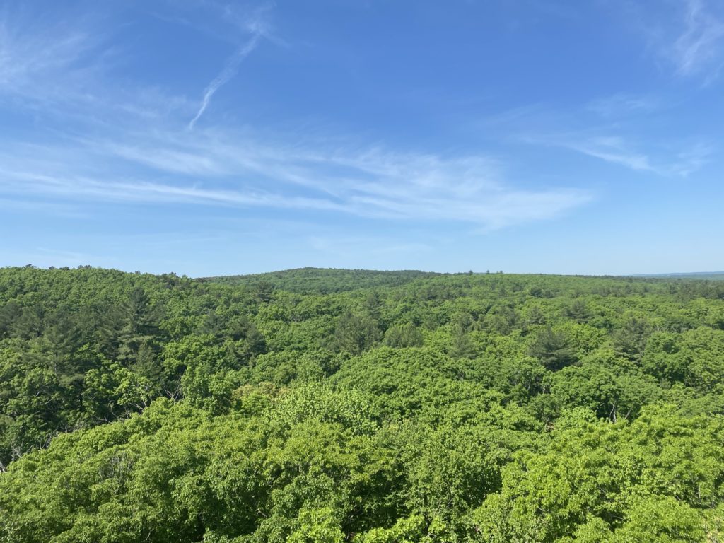
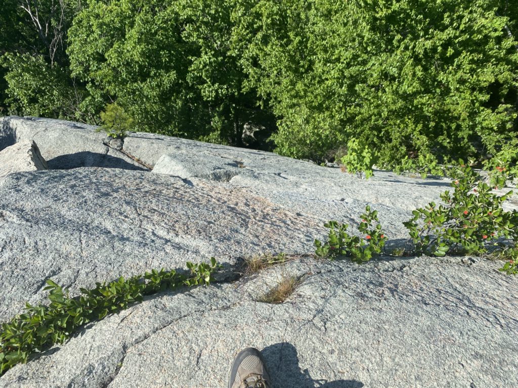
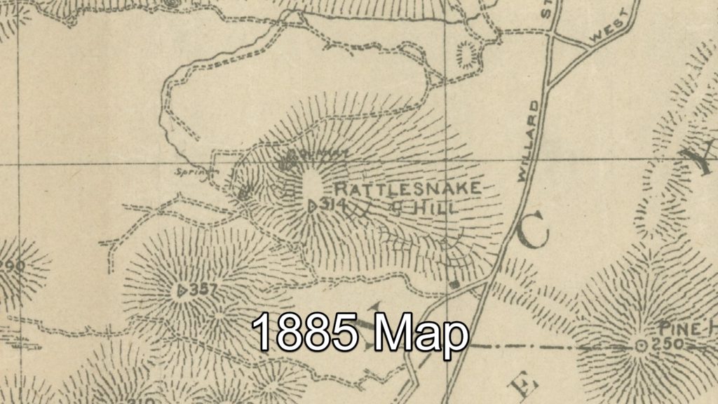
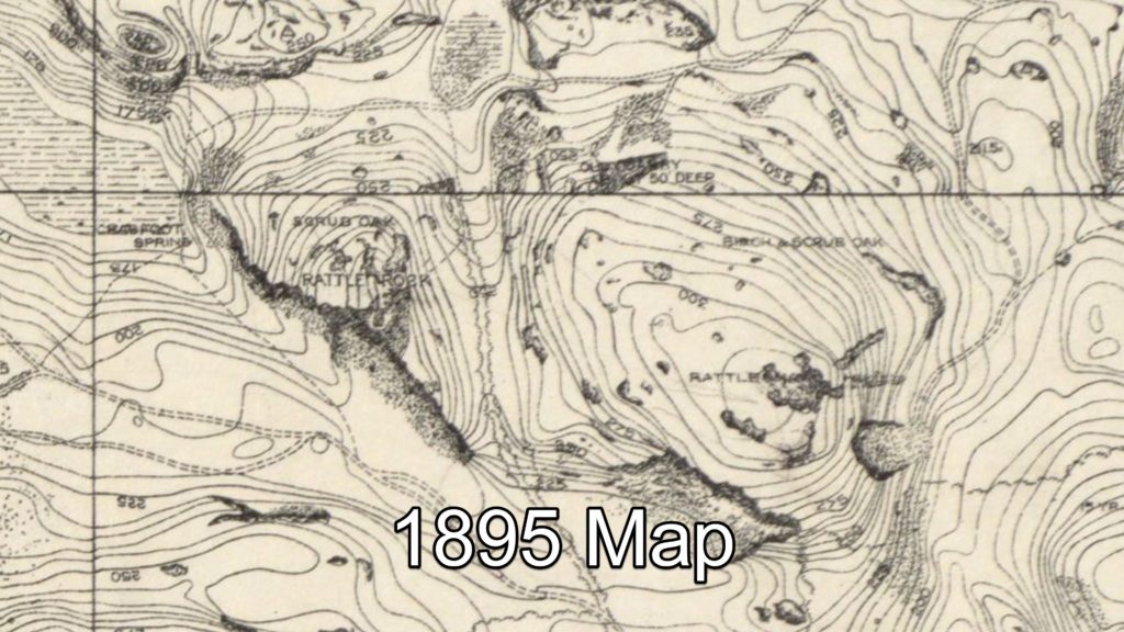
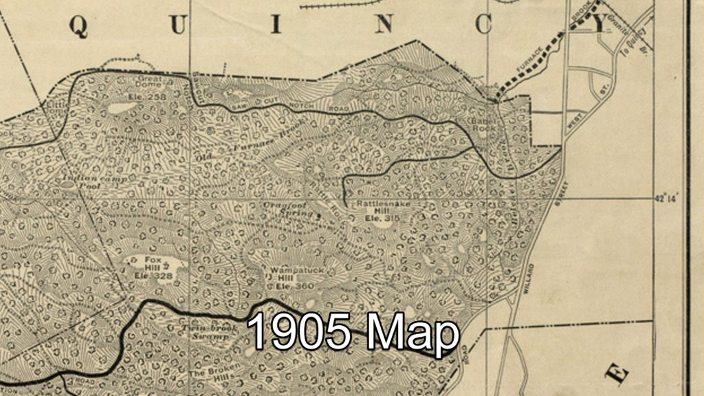
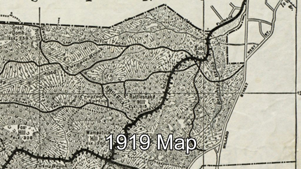
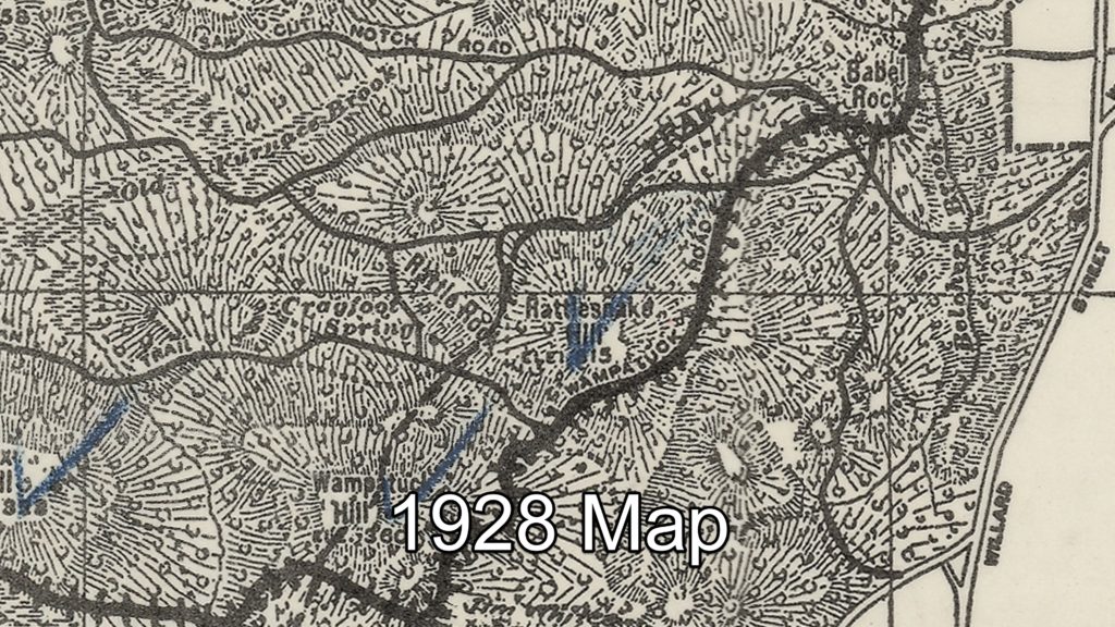
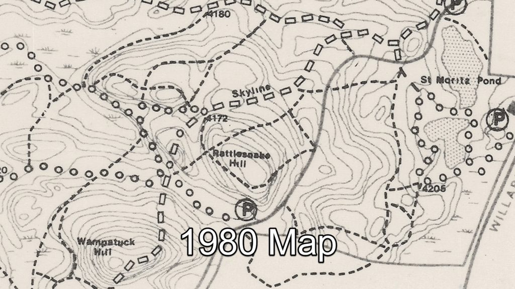
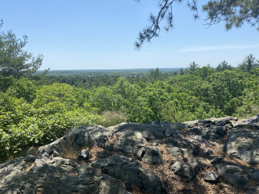
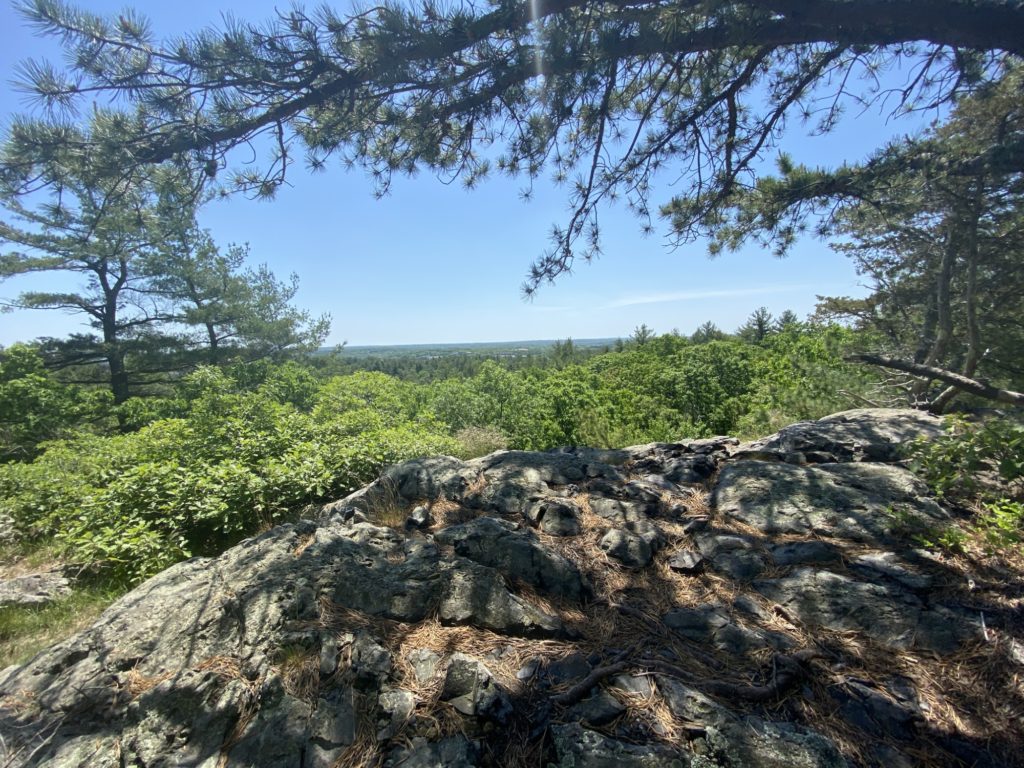
My mood was much improved when I discovered a rocky crag just off the Skyline Trail (ELEVATION!) with some amazing views across the valley to the peak of Rattlesnake Hill. There were a series of rusted metal posts embedded in the rock which I’m guessing was part of long since decayed protective fence. Thanks to Eric Heinrich and Jay Theriault from the 125 Mile Club Facebook group for helping me later identify this outlook as Rattle Rock. Jay even pointed out that the crag was actually labeled Rattle Rock on the 1905 map of the Blue Hills. I’ve been collecting as many digital copies of old maps of the Blue Hills that I could find so after looking through what I have, the first map that shows this label is one dated 1895. It then shows up on maps I have from 1905, 1919, and 1928. My collection has a big chronological gap after 1928 with my next edition being dated 1980 which does not show the name Rattle Rock. So somewhere between the Great Depression and Reaganomics, the label was dropped from the maps.

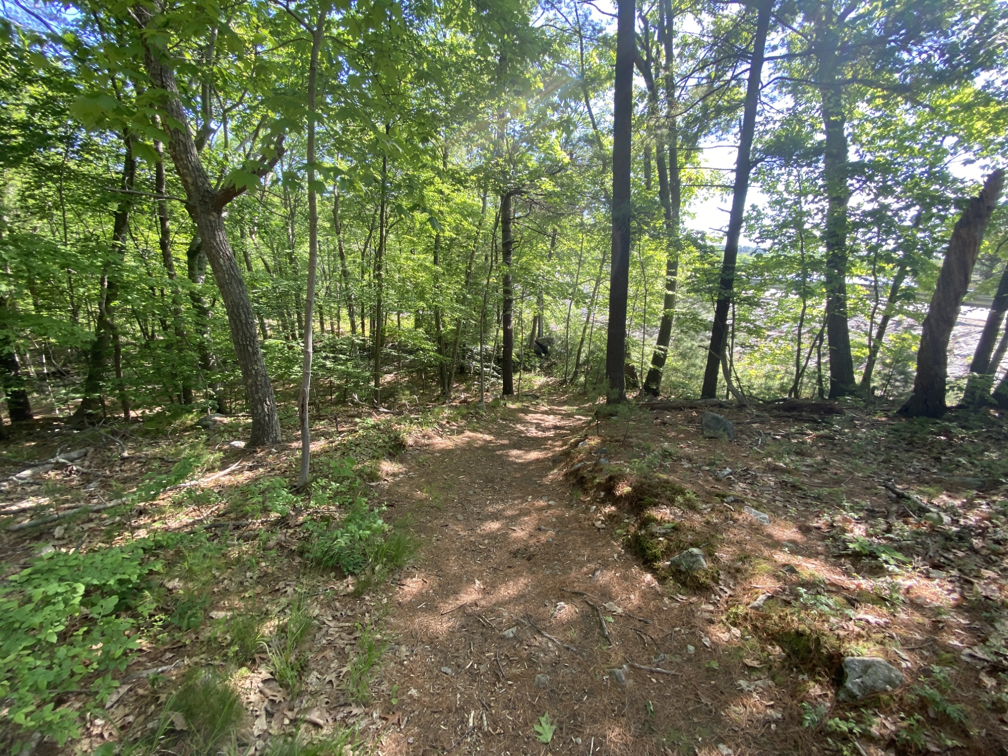
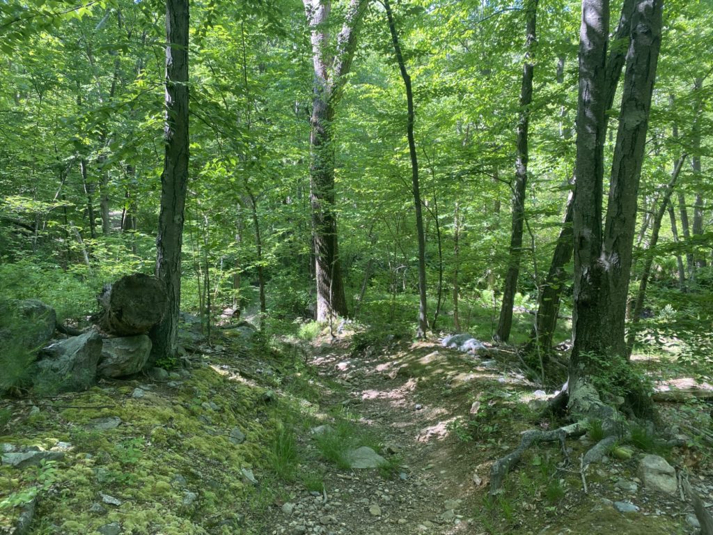
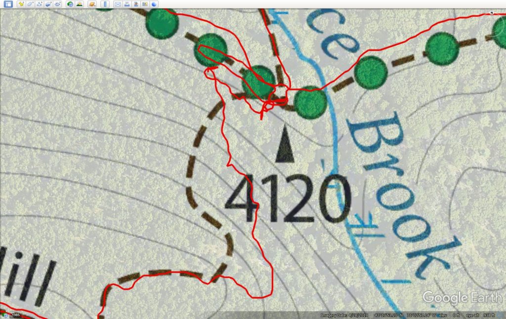
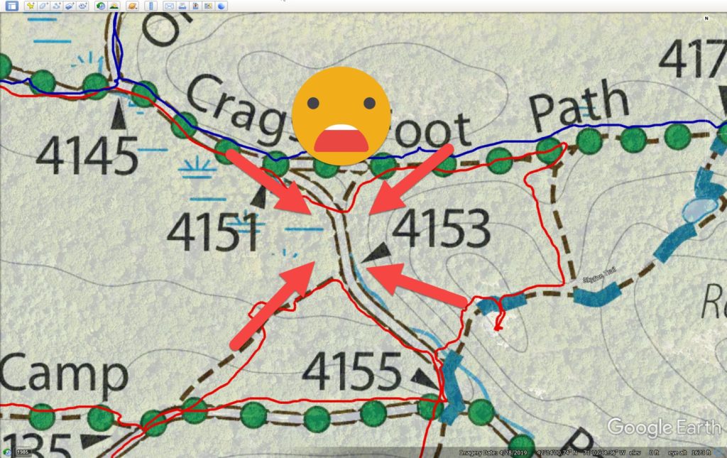
After some water and a protein bar while enjoying the view, and with a lifted spirit, I continued on by cutting through a small connector trail over to Crags Foot Path. There is a small triangle in the trail which leads off to #4153. I was sure to cover the adjacent and opposite sides to the triangle as I had skipped them on Day 7 when I hiked the hypotenuse. (Go Geometry!). At the apex, there was a tiny 200 foot trail that headed South that I knew I would have to cover with a quick back-and-forth but I told myself I’d cover it later on in the hike on the way down from Wampatuck Hill. I continued re-tracing parts of Crags Foot Path that I had hiked with Brenda on Day 7 until reaching #4142. Here I turned off onto yet another unnamed trail to #4120 where I would head to the top of Fox Hill again (ELEVATION!). This time I had an even harder time finding the actual trail. More furious checking of my iPhone GPS and some back and forth pacing on the trail did not help the matter. I was so befuddled I forgot to take my usual picture of just the intersection marker. I noticed two rounds of lumber near the marker so I thought these might serve as entry posts to the trail, but that proved wrong. After about 10 minutes of stomping around, I said “F*** It!” to myself and just pointed myself towards the top of the hill and started walking. I found the actual trail about half way up but by this point my previously lifted spirits had devolved into irritated territory. If you feel like self inducing some motion sickness you can see my bodycam footage swivel around and around several times as I persistently look for the trail. I’ve also included a screengrab of my tracking on Google Earth to show my confusion. I finally made it to the top and then proceeded to follow Fox Hill Path all the way down, past the missing #4096, and down to Indian Camp Path. I followed this to a small trail triangle formed by #4082, #4085, #4086 which I had also covered on Day 7. I turned onto a small path at #4090 towards #4073, re-traced some of the Day 7 hike on Pine Tree Brook Path where I came to #4084 where I had to now climb Fox Hill a THIRD time! (ELEVATION!). Mental note: double-check what parts of the trail I choose to double-back over for elevation. By this time I had mentally replaced the “Fox” in Fox Hill with another choice F-word. I followed F*&% Hill Path down to the where it paralleled Chickatawbut Road until I go to the Pipe Line across from the Blue Hills Reservoir.
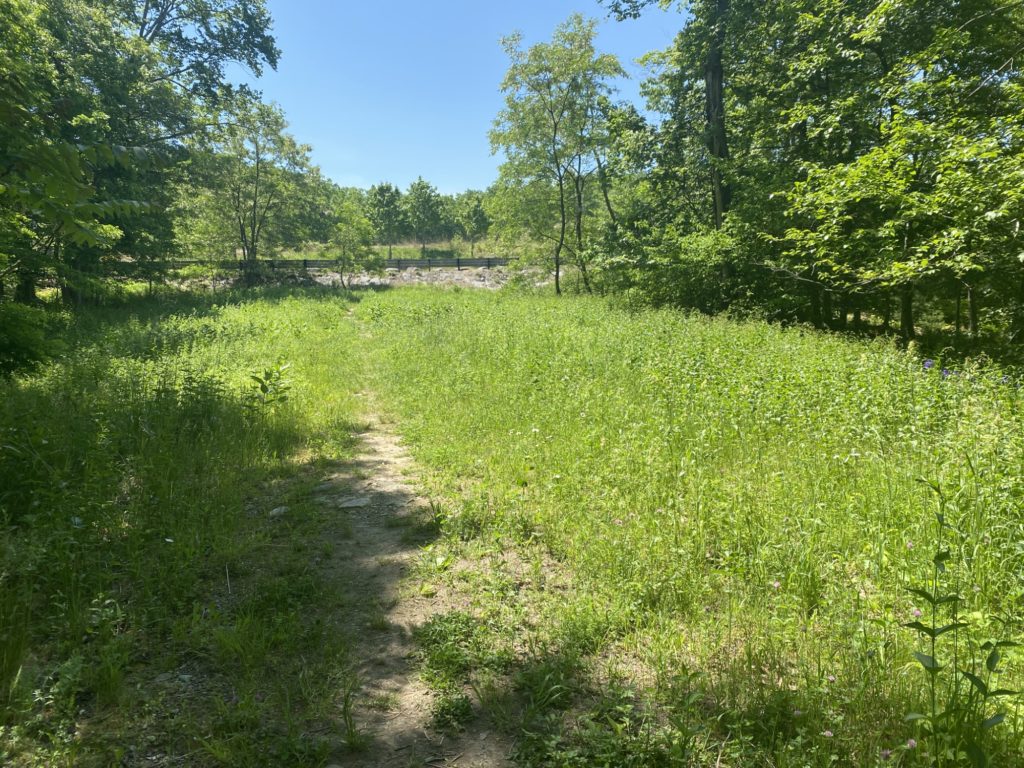
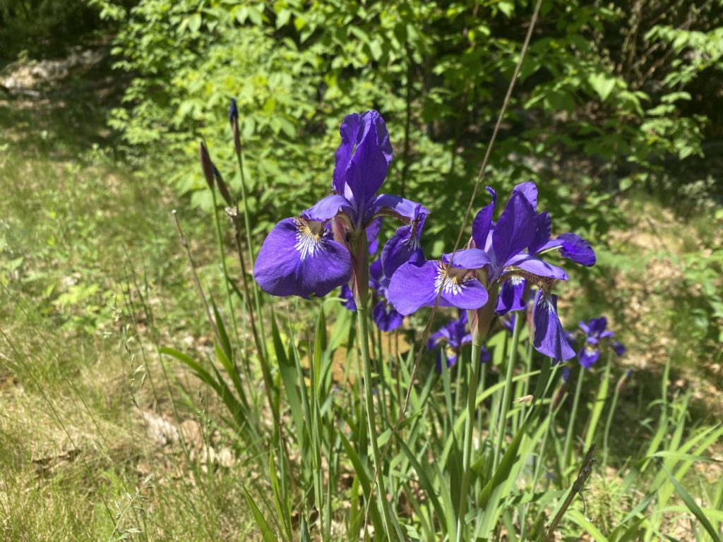
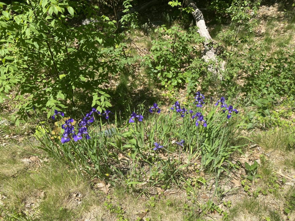
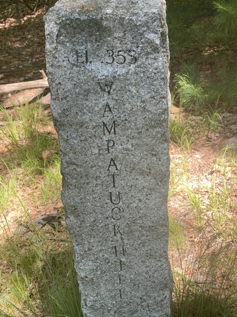
It is now 11:30am, temps are now roughly 85-degrees, the dew point is in the muggy zone, and the mosquitos are out in full force. The DEET does keep them from actually landing and biting you, but it does not prevent them from swarming around your face and buzzing your ears, eyes and nose. For the first time, this is feeling a bit more like a chore and less like a leisure activity, but nothing worth doing is always going to be easy so I soldier on. I must say that the area around the pipeline is quite lovely with more open trails and fields and some nice beds of wildflowers that I’m sure will just expand over the summer. I cover a figure-8 in the trail and notice that the trail map shows a very acute triangle at it’s top so I do the requisite up and down to ensure I cover all sides (Geometry!). I cover the path from #4131 to #4134 and follow the Skyline Trail to the top of Wampatuck Hill (ELEVATION!) and then back down to #4155. I’m exhausted and I know I have just under a mile back to the car and I’m looking forward to some AC and a cold shower. I turn off Skyline at #4155 and cover another triangle in the trail which I had partially covered earlier. This is where I make my third mistake of the day that I did not realize until much later. I was supposed to cover the 200 feet of trail North of #4153 with a back-and-forth on this return trip but in my eagerness to wrap things up I forgot and now I’m gonna have to hoof it back up there another day to tick that little section off the list. I trudge down the Pipe Line trail to Chickatawbut Road and I’m too tired to pull myself up and over the roadside barrier and even if I did, there isn’t much room on the road for pedestrians. Sticking to the safe side of the barrier came with it’s own dangers as I found myself on a very narrow ledge at the top of a steep dyke that formed a portion of the Blue Hills Reservoir. The farther I went along the road, the ledge grew higher and higher above the ground making this probably the most treacherous portion of the days walk. The barrier came to an end right across from parking lot for the res. No consideration was made for completing the shade-less trail around the res with that also put off for another day.



Leave a Reply